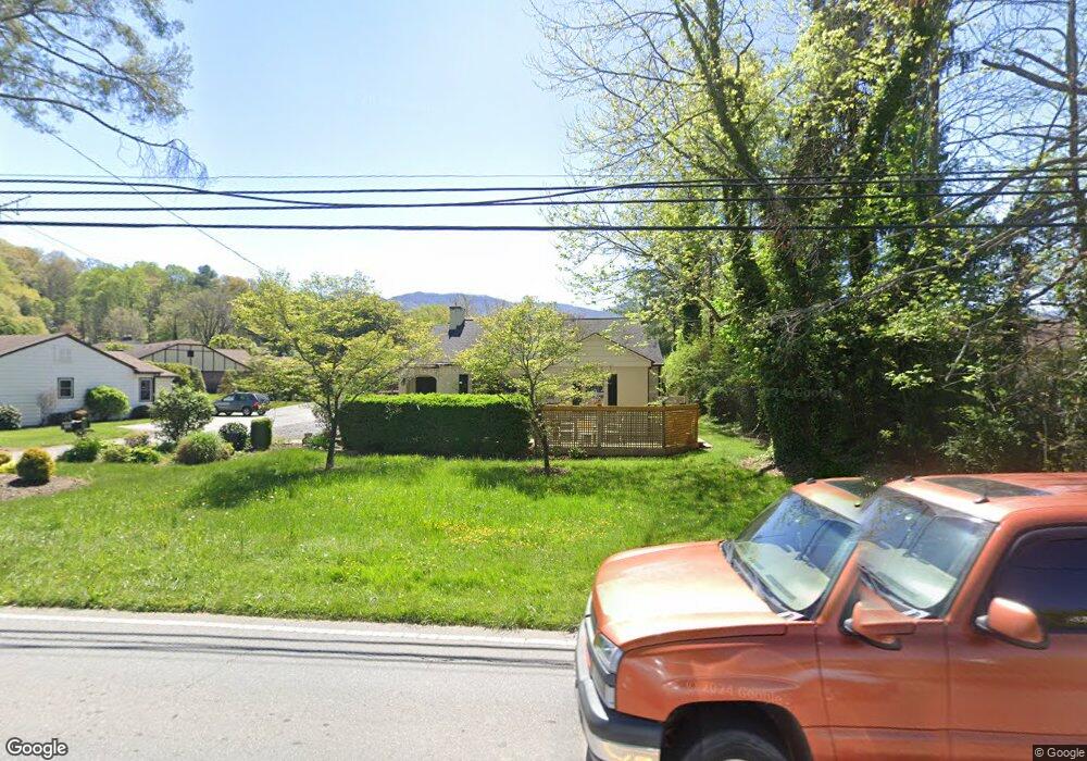
1471 S Main St Waynesville, NC 28786
Estimated Value: $279,065 - $393,000
2
Beds
1
Bath
1,108
Sq Ft
$292/Sq Ft
Est. Value
About This Home
This home is located at 1471 S Main St, Waynesville, NC 28786 and is currently estimated at $324,016, approximately $292 per square foot. 1471 S Main St is a home located in Haywood County with nearby schools including Hazelwood Elementary, Waynesville Middle, and Tuscola High.
Ownership History
Date
Name
Owned For
Owner Type
Purchase Details
Closed on
Sep 12, 2006
Sold by
Byers Richard E and Byers Diane L
Bought by
Siplon Kristi
Current Estimated Value
Home Financials for this Owner
Home Financials are based on the most recent Mortgage that was taken out on this home.
Original Mortgage
$115,200
Outstanding Balance
$69,182
Interest Rate
6.67%
Mortgage Type
New Conventional
Estimated Equity
$254,834
Create a Home Valuation Report for This Property
The Home Valuation Report is an in-depth analysis detailing your home's value as well as a comparison with similar homes in the area
Home Values in the Area
Average Home Value in this Area
Purchase History
| Date | Buyer | Sale Price | Title Company |
|---|---|---|---|
| Siplon Kristi | $144,000 | None Available |
Source: Public Records
Mortgage History
| Date | Status | Borrower | Loan Amount |
|---|---|---|---|
| Open | Siplon Kristi | $115,200 |
Source: Public Records
Tax History Compared to Growth
Tax History
| Year | Tax Paid | Tax Assessment Tax Assessment Total Assessment is a certain percentage of the fair market value that is determined by local assessors to be the total taxable value of land and additions on the property. | Land | Improvement |
|---|---|---|---|---|
| 2025 | -- | $130,400 | $26,400 | $104,000 |
| 2024 | $876 | $130,400 | $26,400 | $104,000 |
| 2023 | $876 | $130,400 | $26,400 | $104,000 |
| 2022 | $857 | $130,400 | $26,400 | $104,000 |
| 2021 | $857 | $130,400 | $26,400 | $104,000 |
| 2020 | $743 | $99,800 | $31,400 | $68,400 |
| 2019 | $748 | $99,800 | $31,400 | $68,400 |
| 2018 | $904 | $99,800 | $31,400 | $68,400 |
| 2017 | $748 | $99,800 | $0 | $0 |
| 2016 | $904 | $130,700 | $0 | $0 |
| 2015 | $904 | $130,700 | $0 | $0 |
| 2014 | $799 | $130,700 | $0 | $0 |
Source: Public Records
Map
Nearby Homes
- 271 Brook St
- 142 Country Club Dr
- 72 Raines Blvd
- 165 Country Club Dr
- 55 Scates St
- 56 Kentucky Ave
- 1193 Brown Ave
- 419 Country Club Dr
- TBD Adams St Unit 1
- 49 Robinson St
- 00 Longview Dr Unit 6
- 00 Longview Dr Unit 7
- 00 Longview Dr Unit 8
- 684 Woodfield Dr
- 152 Springview Dr
- 55 Polk St
- 171 Surrey Rd
- 228 Hyatt St
- 220 Ridge Rd
- 87 Willow Rd Unit C-2