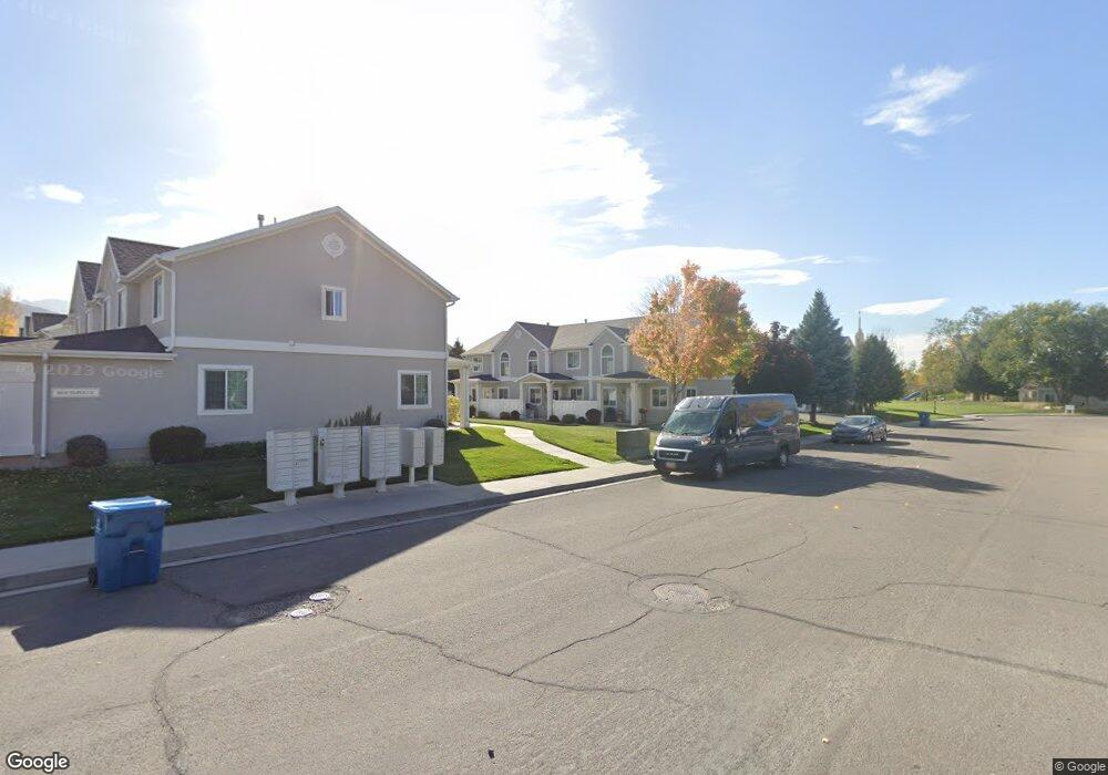
1471 S Silver Maple Ct Payson, UT 84651
Estimated Value: $330,000 - $365,000
3
Beds
3
Baths
1,260
Sq Ft
$274/Sq Ft
Est. Value
About This Home
This home is located at 1471 S Silver Maple Ct, Payson, UT 84651 and is currently estimated at $344,982, approximately $273 per square foot. 1471 S Silver Maple Ct is a home located in Utah County with nearby schools including Spring Lake Elementary, Payson Junior High School, and Payson High School.
Ownership History
Date
Name
Owned For
Owner Type
Purchase Details
Closed on
Apr 12, 2024
Sold by
Rettland Llc
Bought by
Lucas Debani E and Lucas Dorian
Current Estimated Value
Home Financials for this Owner
Home Financials are based on the most recent Mortgage that was taken out on this home.
Original Mortgage
$348,569
Outstanding Balance
$343,420
Interest Rate
6.94%
Mortgage Type
FHA
Estimated Equity
$1,562
Purchase Details
Closed on
Feb 23, 2015
Sold by
Hanson Tiffany R and Hanson Kevin
Bought by
Rettland Llc
Purchase Details
Closed on
Aug 4, 2009
Sold by
Clark Jason Ryan and Foster Clark Bethany Ruth
Bought by
Hanson Tiffany R and Hanson Kevin
Home Financials for this Owner
Home Financials are based on the most recent Mortgage that was taken out on this home.
Original Mortgage
$136,482
Interest Rate
5.37%
Mortgage Type
FHA
Purchase Details
Closed on
Mar 17, 2003
Sold by
Kriser Homes & Communities Inc
Bought by
Clark Jason Ryan and Foster Clark Bethany Ruth
Home Financials for this Owner
Home Financials are based on the most recent Mortgage that was taken out on this home.
Original Mortgage
$99,900
Interest Rate
4.5%
Create a Home Valuation Report for This Property
The Home Valuation Report is an in-depth analysis detailing your home's value as well as a comparison with similar homes in the area
Home Values in the Area
Average Home Value in this Area
Purchase History
| Date | Buyer | Sale Price | Title Company |
|---|---|---|---|
| Lucas Debani E | -- | Key Land Title | |
| Rettland Llc | -- | Title West | |
| Hanson Tiffany R | -- | Title West Title Company | |
| Clark Jason Ryan | -- | Mountain West Title Co |
Source: Public Records
Mortgage History
| Date | Status | Borrower | Loan Amount |
|---|---|---|---|
| Open | Lucas Debani E | $348,569 | |
| Previous Owner | Hanson Tiffany R | $136,482 | |
| Previous Owner | Clark Jason Ryan | $99,900 |
Source: Public Records
Tax History
| Year | Tax Paid | Tax Assessment Tax Assessment Total Assessment is a certain percentage of the fair market value that is determined by local assessors to be the total taxable value of land and additions on the property. | Land | Improvement |
|---|---|---|---|---|
| 2025 | $1,722 | $175,340 | -- | -- |
| 2024 | $1,722 | $175,230 | $0 | $0 |
| 2023 | $1,649 | $168,245 | $0 | $0 |
| 2022 | $1,569 | $157,465 | $0 | $0 |
| 2021 | $1,422 | $228,900 | $34,300 | $194,600 |
| 2020 | $1,324 | $208,600 | $31,300 | $177,300 |
| 2019 | $1,189 | $192,000 | $25,000 | $167,000 |
| 2018 | $1,157 | $180,000 | $22,000 | $158,000 |
| 2017 | $999 | $83,600 | $0 | $0 |
| 2016 | $939 | $78,100 | $0 | $0 |
| 2015 | $899 | $74,250 | $0 | $0 |
| 2014 | $815 | $67,815 | $0 | $0 |
Source: Public Records
Map
Nearby Homes
- 802 Brookside Ct
- 1468 S 910 W
- 588 W 1450 S
- 1631 S Highway 198
- 609 W Saddlebrook Dr
- 613 W Saddlebrook Dr
- 1320 S 950 W
- 1338 S 1050 W
- 1172 S 880 W
- 1605 S 1100 W
- 347 W 1380 S
- 1116 W 1290 S
- 528 W 1150 S
- 1763 S 1100 W Unit 14
- 1146 W 1260 S
- 1463 S 260 W
- 1216 S 1150 W Unit 19
- 32 E 1690 S Unit 113
- 1128 W 1150 S Unit 9
- 1848 S 410 W
- 1467 S Silver Maple Ct
- 1463 S Silver Maple Ct
- 1477 S Silver Maple Ct
- 1472 S Silver Maple Ct
- 1481 S Silver Maple Ct
- 1464 S Silver Maple Ct
- 1472 S Red Maple Ct
- 1468 S Red Maple Ct
- 1462 S Silver Maple Ct
- 1466 S Red Maple Ct
- 1476 S Silver Maple Ct
- 1485 S Silver Maple Ct
- 1474 S Red Maple Ct
- 1482 S Silver Maple Ct
- 1478 S Red Maple Ct
- 1484 S Silver Maple Ct
- 1482 S Red Maple Ct
- 1488 S Silver Maple Ct
- 1486 S Red Maple Ct
- 1456 S 730 W
Your Personal Tour Guide
Ask me questions while you tour the home.