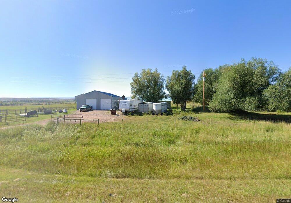
1471 State Highway 411 Mountain View, WY 82939
Estimated Value: $326,000 - $453,000
3
Beds
3
Baths
1,732
Sq Ft
$227/Sq Ft
Est. Value
About This Home
This home is located at 1471 State Highway 411, Mountain View, WY 82939 and is currently estimated at $392,555, approximately $226 per square foot. 1471 State Highway 411 is a home with nearby schools including Mountain View K-8 and Mountain View High School.
Ownership History
Date
Name
Owned For
Owner Type
Purchase Details
Closed on
Jan 10, 2007
Sold by
Walker Daniel G
Bought by
Flint Brad M
Current Estimated Value
Home Financials for this Owner
Home Financials are based on the most recent Mortgage that was taken out on this home.
Original Mortgage
$4,030
Interest Rate
6.1%
Mortgage Type
Purchase Money Mortgage
Purchase Details
Closed on
Jan 9, 2007
Sold by
Hamelin Margaret A
Bought by
Walker Daniel G and Walker Ellen H
Home Financials for this Owner
Home Financials are based on the most recent Mortgage that was taken out on this home.
Original Mortgage
$4,030
Interest Rate
6.1%
Mortgage Type
Purchase Money Mortgage
Create a Home Valuation Report for This Property
The Home Valuation Report is an in-depth analysis detailing your home's value as well as a comparison with similar homes in the area
Home Values in the Area
Average Home Value in this Area
Purchase History
| Date | Buyer | Sale Price | Title Company |
|---|---|---|---|
| Flint Brad M | -- | None Available | |
| Walker Daniel G | -- | None Available |
Source: Public Records
Mortgage History
| Date | Status | Borrower | Loan Amount |
|---|---|---|---|
| Closed | Flint Brad M | $4,030 | |
| Open | Walker Daniel G | $175,000 |
Source: Public Records
Tax History Compared to Growth
Tax History
| Year | Tax Paid | Tax Assessment Tax Assessment Total Assessment is a certain percentage of the fair market value that is determined by local assessors to be the total taxable value of land and additions on the property. | Land | Improvement |
|---|---|---|---|---|
| 2025 | $1,592 | $23,028 | $4,299 | $18,729 |
| 2024 | $1,592 | $24,809 | $5,512 | $19,297 |
| 2023 | $1,662 | $26,028 | $5,512 | $20,516 |
| 2022 | $1,468 | $22,911 | $5,057 | $17,854 |
| 2021 | $1,280 | $19,946 | $4,722 | $15,224 |
| 2020 | $1,164 | $18,289 | $4,333 | $13,956 |
| 2019 | $1,147 | $18,200 | $5,098 | $13,102 |
| 2018 | $1,180 | $18,725 | $6,956 | $11,769 |
| 2017 | $1,170 | $18,448 | $6,956 | $11,492 |
| 2016 | $1,163 | $18,310 | $6,956 | $11,354 |
| 2015 | -- | $18,321 | $6,956 | $11,365 |
| 2014 | -- | $18,219 | $0 | $0 |
Source: Public Records
Map
Nearby Homes
- 237 Tipperary Rd
- 304 3rd St
- 1546 Cr 218
- 116 3rd St
- 227 Alder St
- 547 Kelli Way
- 544 Kelli Way
- 42 Valley
- 0 Crazy Ate Lot 2 Unit 20224213
- 367 7th St
- 840 Willow Dr
- 37 County Road 269
- 42 Carothers Ave
- 859 County Road 241
- 748 County Road 241
- 0 Wyoming 414
- 412 Twin Butte Dr
- 12699 Wyoming 410
- 501 W Owen Ave
- 314 W Sage St
- 1441 Wyoming 411
- 1717 State Highway 411
- 1791 State Highway 411
- 4033 Wyoming 411
- 1058 Highway 411
- 1865 State Highway 411
- 1995 State Highway 411
- 949 Highway 411
- 2042 State Highway 411
- 2059 State Highway 411
- 947 Highway 411
- 2061 State Highway 411
- 629 Highway 411
- 559 State Highway 411
- 45 County Road 219
- 540 County Road 219
- 542 County Road 219
- 5310 Highway 410