14711 S 442 Rd Locust Grove, OK 74352
Estimated Value: $389,201 - $404,000
3
Beds
2
Baths
2,244
Sq Ft
$177/Sq Ft
Est. Value
About This Home
This home is located at 14711 S 442 Rd, Locust Grove, OK 74352 and is currently estimated at $396,601, approximately $176 per square foot. 14711 S 442 Rd is a home located in Mayes County with nearby schools including Locust Grove Early Lrning Center, Locust Grove Upper Elementary School, and Locust Grove Middle School.
Ownership History
Date
Name
Owned For
Owner Type
Purchase Details
Closed on
Oct 7, 2011
Sold by
Smith Richard D and Smith Brenda I
Bought by
Cowan Bryan K and Cowan Robin L
Current Estimated Value
Home Financials for this Owner
Home Financials are based on the most recent Mortgage that was taken out on this home.
Original Mortgage
$162,899
Outstanding Balance
$111,659
Interest Rate
4.28%
Mortgage Type
FHA
Estimated Equity
$284,942
Purchase Details
Closed on
May 10, 2000
Sold by
Smith Peggy
Bought by
Smith Richard and Smith Brenda
Purchase Details
Closed on
Jan 27, 1995
Sold by
Cooper James Ray
Bought by
Smith Floyd Dale
Create a Home Valuation Report for This Property
The Home Valuation Report is an in-depth analysis detailing your home's value as well as a comparison with similar homes in the area
Home Values in the Area
Average Home Value in this Area
Purchase History
| Date | Buyer | Sale Price | Title Company |
|---|---|---|---|
| Cowan Bryan K | $500 | None Available | |
| Cowan Bryan K | $165,000 | None Available | |
| Smith Richard | $100,000 | -- | |
| Smith Floyd Dale | $75,000 | -- |
Source: Public Records
Mortgage History
| Date | Status | Borrower | Loan Amount |
|---|---|---|---|
| Open | Cowan Bryan K | $162,899 |
Source: Public Records
Tax History Compared to Growth
Tax History
| Year | Tax Paid | Tax Assessment Tax Assessment Total Assessment is a certain percentage of the fair market value that is determined by local assessors to be the total taxable value of land and additions on the property. | Land | Improvement |
|---|---|---|---|---|
| 2025 | $16 | $169 | $169 | $0 |
| 2023 | $16 | $169 | $169 | $0 |
| 2022 | $15 | $169 | $169 | $0 |
| 2021 | $16 | $169 | $169 | $0 |
| 2020 | $16 | $168 | $168 | $0 |
| 2019 | $16 | $168 | $168 | $0 |
| 2018 | $16 | $168 | $168 | $0 |
| 2017 | $16 | $168 | $168 | $0 |
| 2016 | $16 | $168 | $168 | $0 |
| 2015 | $16 | $168 | $168 | $0 |
| 2014 | $16 | $168 | $168 | $0 |
Source: Public Records
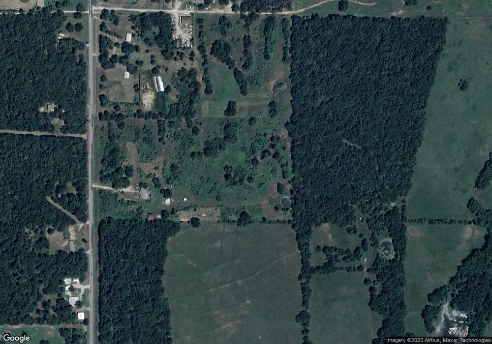
Map
Nearby Homes
- 5580 E 610 Rd
- 10015 E 632 Rd
- 7167 E 618 Rd
- 4100 N 430 Rd
- 12754 S 442 Rd
- 12665 S 4429
- 0 S 4409 Rd
- 0 Rural Route Unit 25-1842
- 8465 W 660 Rd Hulbert Unit OK 74441
- 8465 W 660 Rd
- 0 E 610 Rd Unit 2542638
- 14209 S 439
- 58 Oak
- 8683 N 436 Rd
- 10223 W 670 Rd
- 6947 N 460 Rd
- 0 E 630 Rd Unit 2527536
- 0 S 043 Rd Unit 2512653
- 15 W 691 Rd
- 8268 N Shiloh Rd