Estimated Value: $241,000 - $301,000
3
Beds
2
Baths
1,040
Sq Ft
$259/Sq Ft
Est. Value
About This Home
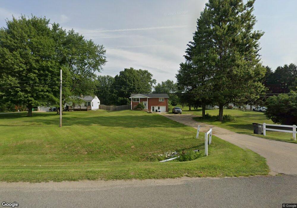
This home is located at 14711 Us Highway 12, Union, MI 49130 and is currently estimated at $269,858, approximately $259 per square foot. 14711 Us Highway 12 is a home located in Cass County with nearby schools including White Pigeon Junior/Senior High School, Central Elementary School, and Kessington Christian School.
Ownership History
Date
Name
Owned For
Owner Type
Purchase Details
Closed on
Jul 1, 2014
Sold by
King Shane R and King Linda G
Bought by
Earl Alexander
Current Estimated Value
Home Financials for this Owner
Home Financials are based on the most recent Mortgage that was taken out on this home.
Original Mortgage
$112,917
Outstanding Balance
$85,880
Interest Rate
4.12%
Mortgage Type
FHA
Estimated Equity
$183,978
Purchase Details
Closed on
Jul 16, 2008
Sold by
Whetstone Teddy and Whetstone Barbara
Bought by
Bank Of New York and Certificateholders Cwabs Inc Asset Backe
Purchase Details
Closed on
Aug 31, 2004
Sold by
Lee Thomas H and Lee Teresa A
Bought by
Whetstone Teddy and Whetstone Barbara
Home Financials for this Owner
Home Financials are based on the most recent Mortgage that was taken out on this home.
Original Mortgage
$97,600
Interest Rate
7.4%
Mortgage Type
New Conventional
Create a Home Valuation Report for This Property
The Home Valuation Report is an in-depth analysis detailing your home's value as well as a comparison with similar homes in the area
Home Values in the Area
Average Home Value in this Area
Purchase History
| Date | Buyer | Sale Price | Title Company |
|---|---|---|---|
| Earl Alexander | $115,000 | Dba Ppr Title Agency | |
| Bank Of New York | $98,831 | None Available | |
| Whetstone Teddy | $122,000 | Cass County Title Office Inc |
Source: Public Records
Mortgage History
| Date | Status | Borrower | Loan Amount |
|---|---|---|---|
| Open | Earl Alexander | $112,917 | |
| Previous Owner | Whetstone Teddy | $97,600 | |
| Closed | Whetstone Teddy | $24,400 |
Source: Public Records
Tax History Compared to Growth
Tax History
| Year | Tax Paid | Tax Assessment Tax Assessment Total Assessment is a certain percentage of the fair market value that is determined by local assessors to be the total taxable value of land and additions on the property. | Land | Improvement |
|---|---|---|---|---|
| 2025 | $1,707 | $124,700 | $124,700 | $0 |
| 2024 | $702 | $109,300 | $109,300 | $0 |
| 2023 | $670 | $89,100 | $0 | $0 |
| 2022 | $638 | $71,700 | $0 | $0 |
| 2021 | $2,326 | $66,800 | $0 | $0 |
| 2020 | $1,815 | $63,500 | $0 | $0 |
| 2019 | $2,256 | $59,800 | $0 | $0 |
| 2018 | $587 | $55,400 | $0 | $0 |
| 2017 | $575 | $60,500 | $0 | $0 |
| 2016 | $570 | $55,900 | $0 | $0 |
| 2015 | -- | $52,900 | $0 | $0 |
| 2011 | -- | $57,400 | $0 | $0 |
Source: Public Records
Map
Nearby Homes
- 15551 Mason St
- 69692 Oak St
- 15765 Mason St
- 15835 Guyer St
- 5 Pickeral Ave
- 6 Pickeral Ave
- 7 Pickeral Ave
- 4 Pike Ln
- 3 Pike Ln
- 2 Pike Ln
- 1 Pike Ln
- 68026 Union Rd S
- 0 Parcel B Sunset Blvd
- 0 Parcel A Sunset Blvd
- 69909 Sunset Blvd
- 70855 Hollywood Shores
- 69951 Sunset Blvd
- 13626 Terrie Shore Rd
- 70830 Baldwin Landing Dr
- 70749 Sunset Blvd
- 14711 U S 12
- 14744 Us Highway 12
- 14695 U S 12
- 14695 Us Highway 12
- 14676 Us Highway 12
- 14676 U S 12
- 14764 Us Highway 12
- 14764 U S 12
- 14660 Us Highway 12
- 14741 Us Highway 12
- 14790 U S 12
- 14790 Us Highway 12
- 14640 U S 12
- 14765 Us Highway 12
- 14765 U S 12
- 16944 U S 12
- 15910 U S 12
- 14610 Us Highway 12
- 14610 U S 12
- 14820 Us Highway 12