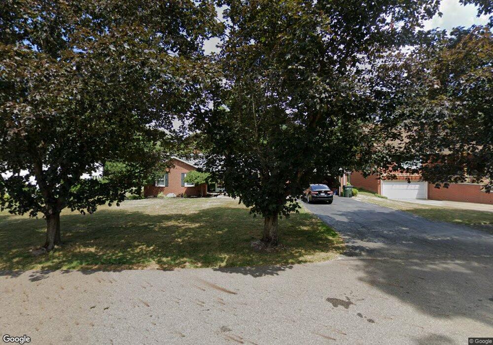
1472 Briarwood Rd Alliance, OH 44601
Estimated Value: $185,000 - $240,000
3
Beds
2
Baths
1,308
Sq Ft
$157/Sq Ft
Est. Value
About This Home
This home is located at 1472 Briarwood Rd, Alliance, OH 44601 and is currently estimated at $205,588, approximately $157 per square foot. 1472 Briarwood Rd is a home located in Stark County with nearby schools including Alliance Early Learning School, Alliance Intermediate School at Northside, and Alliance Middle School.
Ownership History
Date
Name
Owned For
Owner Type
Purchase Details
Closed on
Jun 12, 1999
Sold by
Sluss Beatrice J and Kron Mary
Bought by
Kehres Larry T and Kehres Linda S
Current Estimated Value
Home Financials for this Owner
Home Financials are based on the most recent Mortgage that was taken out on this home.
Original Mortgage
$86,700
Interest Rate
7.15%
Mortgage Type
Purchase Money Mortgage
Create a Home Valuation Report for This Property
The Home Valuation Report is an in-depth analysis detailing your home's value as well as a comparison with similar homes in the area
Home Values in the Area
Average Home Value in this Area
Purchase History
| Date | Buyer | Sale Price | Title Company |
|---|---|---|---|
| Kehres Larry T | $102,000 | Union Title Company |
Source: Public Records
Mortgage History
| Date | Status | Borrower | Loan Amount |
|---|---|---|---|
| Closed | Kehres Larry T | $86,700 |
Source: Public Records
Tax History Compared to Growth
Tax History
| Year | Tax Paid | Tax Assessment Tax Assessment Total Assessment is a certain percentage of the fair market value that is determined by local assessors to be the total taxable value of land and additions on the property. | Land | Improvement |
|---|---|---|---|---|
| 2025 | -- | $54,390 | $17,990 | $36,400 |
| 2024 | -- | $54,390 | $17,990 | $36,400 |
| 2023 | $2,276 | $55,310 | $13,550 | $41,760 |
| 2022 | $2,292 | $55,310 | $13,550 | $41,760 |
| 2021 | $2,211 | $53,210 | $13,550 | $39,660 |
| 2020 | $2,019 | $45,400 | $11,800 | $33,600 |
| 2019 | $1,992 | $45,400 | $11,800 | $33,600 |
| 2018 | $2,001 | $45,400 | $11,800 | $33,600 |
| 2017 | $1,866 | $41,580 | $10,290 | $31,290 |
| 2016 | $1,771 | $39,130 | $7,840 | $31,290 |
| 2015 | $1,786 | $39,130 | $7,840 | $31,290 |
| 2014 | $1,632 | $34,030 | $6,830 | $27,200 |
| 2013 | $814 | $34,030 | $6,830 | $27,200 |
Source: Public Records
Map
Nearby Homes
- 1515 S Rockhill Ave
- 1321 Parkway Blvd
- 884 W College Rd
- 738 Kingsway St
- 970 Kingsway St
- 896 Parkway Blvd
- 203 Glamorgan St
- 1038 Fairview Place
- 1475 Chatauqua Ct
- 112 E College St
- 734 Parkway Blvd
- 1201 Overlook Dr
- 645 W Summit St
- 725 W Summit St
- 807 S Union Ave
- 140 W Summit St
- 1437 S Linden Ave
- 390 E College St
- 317 E State St
- 2112 Blenheim Ave
- 1488 Briarwood Rd
- 1456 Briarwood Rd
- 1469 Robinwood Rd
- 1483 Robinwood Rd
- 1496 Briarwood Rd
- 1457 Robinwood Rd
- 631 Vincent Blvd
- 1440 Briarwood Rd
- 1469 Briarwood Rd
- 1485 Briarwood Rd
- 1445 Robinwood Rd
- 643 Vincent Blvd
- 1495 Briarwood Rd
- 1449 Briarwood Rd
- 601 Vincent Blvd
- 1435 Robinwood Rd
- 719 Vincent Blvd
- 1422 Briarwood Rd
- 1435 Briarwood Rd
- 1425 Robinwood Rd