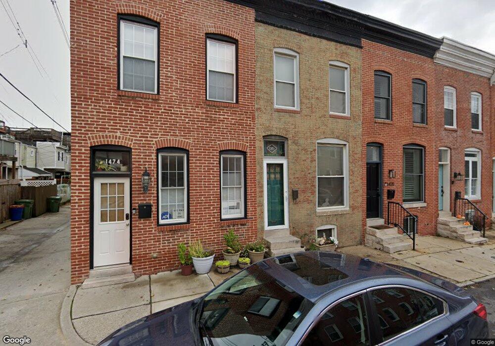
1472 Stevenson St Baltimore, MD 21230
Locust Point NeighborhoodEstimated Value: $203,830 - $273,000
Studio
1
Bath
1,014
Sq Ft
$235/Sq Ft
Est. Value
About This Home
This home is located at 1472 Stevenson St, Baltimore, MD 21230 and is currently estimated at $238,415, approximately $235 per square foot. 1472 Stevenson St is a home located in Baltimore City with nearby schools including Francis Scott Key Elementary/Middle School, Booker T. Washington Middle School, and Digital Harbor High School.
Ownership History
Date
Name
Owned For
Owner Type
Purchase Details
Closed on
Sep 16, 1993
Sold by
Hunt M
Bought by
Kroesen Jon
Current Estimated Value
Home Financials for this Owner
Home Financials are based on the most recent Mortgage that was taken out on this home.
Original Mortgage
$45,250
Interest Rate
7.16%
Create a Home Valuation Report for This Property
The Home Valuation Report is an in-depth analysis detailing your home's value as well as a comparison with similar homes in the area
Home Values in the Area
Average Home Value in this Area
Purchase History
We collect this data history from publicly available records. To have your information removed, we recommend requesting removal directly through your county’s website.
| Date | Buyer | Sale Price | Title Company |
|---|---|---|---|
| Kroesen Jon | $45,000 | -- |
Source: Public Records
Mortgage History
We collect this data history from publicly available records. To have your information removed, we recommend requesting removal directly through your county’s website.
| Date | Status | Borrower | Loan Amount |
|---|---|---|---|
| Closed | Kroesen Jon | $45,250 |
Source: Public Records
Tax History
| Year | Tax Paid | Tax Assessment Tax Assessment Total Assessment is a certain percentage of the fair market value that is determined by local assessors to be the total taxable value of land and additions on the property. | Land | Improvement |
|---|---|---|---|---|
| 2025 | $4,402 | $190,467 | -- | -- |
| 2024 | $4,402 | $187,433 | -- | -- |
| 2023 | $4,352 | $184,400 | $80,000 | $104,400 |
| 2022 | $4,352 | $184,400 | $80,000 | $104,400 |
| 2021 | $4,352 | $184,400 | $80,000 | $104,400 |
| 2020 | $4,214 | $192,000 | $80,000 | $112,000 |
| 2019 | $4,145 | $189,967 | $0 | $0 |
| 2018 | $4,155 | $187,933 | $0 | $0 |
| 2017 | $4,156 | $185,900 | $0 | $0 |
| 2016 | $1,891 | $184,433 | $0 | $0 |
| 2015 | $1,891 | $182,967 | $0 | $0 |
| 2014 | $1,891 | $181,500 | $0 | $0 |
Source: Public Records
Map
Nearby Homes
- 1126 E Fort Ave
- 1024 E Fort Ave
- 1403 E Clement St
- 1432 Haubert St
- 1566 Lowman St
- 1437 E Fort Ave
- 802 E Fort Ave
- 1435 Hull St
- 1307 Haubert St
- 1421 Hull St
- 1500 Latrobe Park Terrace
- 1452 Boyle St
- 1500 Boyle St
- 1536 Boyle St
- 1425 Cooksie St
- 1408 Towson St
- 1358 Towson St
- 1344 Towson St
- 1461 Towson St
- 1407 Webster St
- 1128 E Fort Ave
- 1124 E Fort Ave
- 1130 E Fort Ave
- 1122 E Fort Ave
- 1132 E Fort Ave
- 1475 Stevenson St
- 1473 Stevenson St
- 1120 E Fort Ave
- 1471 Stevenson St
- 1118 E Fort Ave
- 1469 Stevenson St
- 1116 E Fort Ave
- 1467 Stevenson St
- 1140 E Fort Ave
- 1114 E Fort Ave
- 1474 Stevenson St
- 1465 Stevenson St
- 1112 E Fort Ave
- 1470 Stevenson St
- 1463 Stevenson St
Your Personal Tour Guide
Ask me questions while you tour the home.