14720 Mccallum Ave NE Alliance, OH 44601
Estimated Value: $163,000 - $306,000
3
Beds
3
Baths
2,112
Sq Ft
$117/Sq Ft
Est. Value
About This Home
This home is located at 14720 Mccallum Ave NE, Alliance, OH 44601 and is currently estimated at $246,080, approximately $116 per square foot. 14720 Mccallum Ave NE is a home located in Stark County with nearby schools including Marlington High School.
Ownership History
Date
Name
Owned For
Owner Type
Purchase Details
Closed on
Nov 20, 2020
Sold by
Aebi Elma J
Bought by
Feller Donald and Feller Amy M
Current Estimated Value
Home Financials for this Owner
Home Financials are based on the most recent Mortgage that was taken out on this home.
Original Mortgage
$177,393
Outstanding Balance
$157,855
Interest Rate
2.8%
Mortgage Type
New Conventional
Estimated Equity
$88,225
Purchase Details
Closed on
Mar 3, 2010
Sold by
Aebi Elma J
Bought by
Aebi Donald H and Aebi Elma J
Create a Home Valuation Report for This Property
The Home Valuation Report is an in-depth analysis detailing your home's value as well as a comparison with similar homes in the area
Home Values in the Area
Average Home Value in this Area
Purchase History
| Date | Buyer | Sale Price | Title Company |
|---|---|---|---|
| Feller Donald | $113,100 | None Available | |
| Aebi Donald H | -- | None Available | |
| Feller Susan G | -- | None Available |
Source: Public Records
Mortgage History
| Date | Status | Borrower | Loan Amount |
|---|---|---|---|
| Open | Feller Donald | $177,393 |
Source: Public Records
Tax History Compared to Growth
Tax History
| Year | Tax Paid | Tax Assessment Tax Assessment Total Assessment is a certain percentage of the fair market value that is determined by local assessors to be the total taxable value of land and additions on the property. | Land | Improvement |
|---|---|---|---|---|
| 2025 | -- | $79,660 | $42,700 | $36,960 |
| 2024 | -- | $79,660 | $42,700 | $36,960 |
| 2023 | $2,320 | $65,420 | $27,900 | $37,520 |
| 2022 | $2,313 | $64,970 | $27,900 | $37,070 |
| 2021 | $1,938 | $54,190 | $27,900 | $26,290 |
| 2020 | $6 | $46,550 | $24,080 | $22,470 |
| 2019 | $1,509 | $46,560 | $24,080 | $22,480 |
| 2018 | $1,512 | $46,560 | $24,080 | $22,480 |
| 2017 | $1,829 | $42,230 | $11,760 | $30,470 |
| 2016 | $1,425 | $42,230 | $11,760 | $30,470 |
| 2015 | $679 | $42,230 | $11,760 | $30,470 |
| 2014 | $1,544 | $43,560 | $10,550 | $33,010 |
| 2013 | $768 | $43,560 | $10,550 | $33,010 |
Source: Public Records
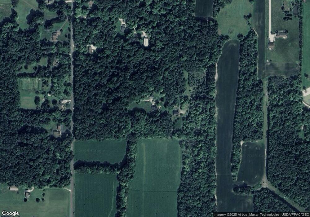
Map
Nearby Homes
- German Church Street North E Unit LotWP001
- 0 German Church St NE
- 5615 Laubert Rd
- 14350 Reeder Ave NE
- 1015 Stroup Rd
- 12415 Snode St NE
- 0 New Milford Rd Unit 5119787
- 12252 Snode St NE
- 13975 Greenbower St NE
- 12355 Edison St NE
- 4829 Laubert Rd
- 13109 Edison St NE
- 11960 Freshley Ave NE
- 11940 Freshley Ave NE
- 6727 Waterloo Rd
- 5296 Eberly Rd
- 5457 Waterloo Rd
- 11480 Aebi Ave NE
- 0 Knoll St NE
- 1440 Porter Rd
- 14880 Mccallum Ave NE
- 14828 Mccallum Ave NE
- 14721 Mccallum Ave NE
- 14781 Mccallum Ave NE
- 14821 Mccallum Ave NE
- 14835 Mccallum Ave NE
- 11790 German Church St NE
- 14859 Mccallum Ave NE
- 14920 Mccallum Ave NE
- 11900 German Church St NE
- 12000 German Church St NE
- 14921 Mccallum Ave NE
- 12080 German Church St NE
- 14972 Mccallum Ave NE
- 14476 Mccallum Ave NE
- 14571 Mccallum Ave NE
- 14436 Mccallum Ave NE
- 11 Stroup Rd
- 12116 German Church St NE
- 11981 Price St NE