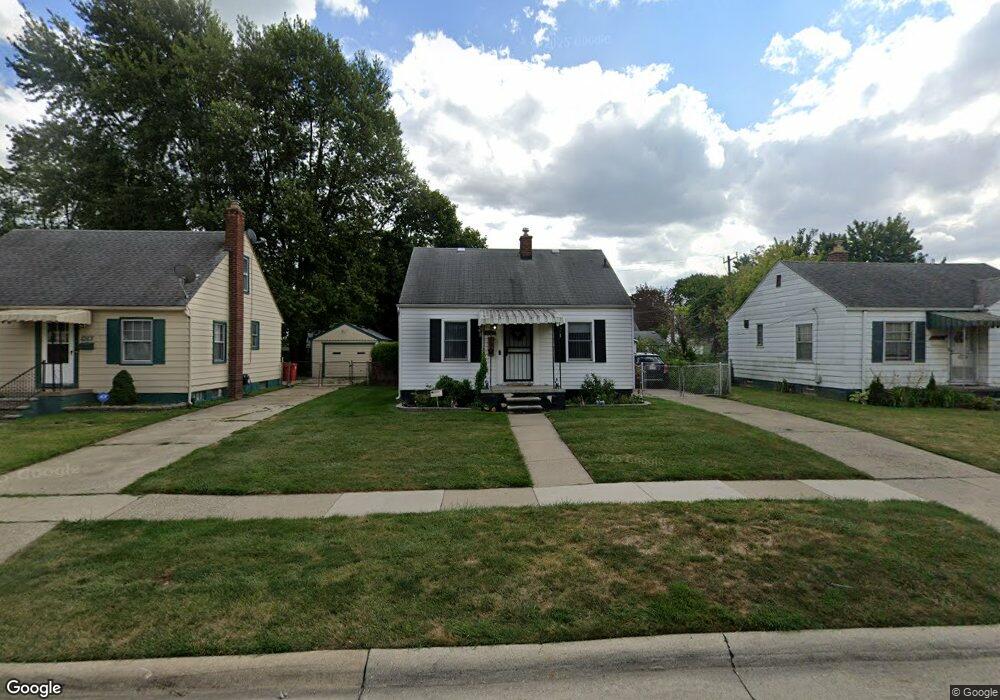
14720 Toepfer Dr Eastpointe, MI 48021
Estimated Value: $98,830 - $128,000
--
Bed
1
Bath
670
Sq Ft
$165/Sq Ft
Est. Value
About This Home
This home is located at 14720 Toepfer Dr, Eastpointe, MI 48021 and is currently estimated at $110,708, approximately $165 per square foot. 14720 Toepfer Dr is a home located in Macomb County with nearby schools including Crescentwood Elementary School, Eastpointe Middle School, and Macomb Montessori Academy.
Ownership History
Date
Name
Owned For
Owner Type
Purchase Details
Closed on
Dec 15, 2006
Sold by
Campbell Barbara J and Risner Pauline
Bought by
Butrum David R
Current Estimated Value
Purchase Details
Closed on
Apr 29, 2004
Sold by
Risner Chester and Risner Pauline
Bought by
Campbell Barbara J
Create a Home Valuation Report for This Property
The Home Valuation Report is an in-depth analysis detailing your home's value as well as a comparison with similar homes in the area
Home Values in the Area
Average Home Value in this Area
Purchase History
| Date | Buyer | Sale Price | Title Company |
|---|---|---|---|
| Butrum David R | $75,500 | Clinton Valley Title Agency | |
| Campbell Barbara J | -- | -- |
Source: Public Records
Tax History Compared to Growth
Tax History
| Year | Tax Paid | Tax Assessment Tax Assessment Total Assessment is a certain percentage of the fair market value that is determined by local assessors to be the total taxable value of land and additions on the property. | Land | Improvement |
|---|---|---|---|---|
| 2025 | $1,242 | $46,900 | $0 | $0 |
| 2024 | $1,152 | $44,900 | $0 | $0 |
| 2023 | $1,115 | $36,800 | $0 | $0 |
| 2022 | $1,171 | $27,200 | $0 | $0 |
| 2021 | $1,153 | $27,100 | $0 | $0 |
| 2020 | $1,102 | $25,600 | $0 | $0 |
| 2019 | $1,088 | $19,600 | $0 | $0 |
| 2018 | $1,118 | $19,080 | $0 | $0 |
| 2017 | $1,047 | $19,070 | $3,390 | $15,680 |
| 2016 | $1,038 | $19,070 | $0 | $0 |
| 2015 | $706 | $16,060 | $0 | $0 |
| 2013 | -- | $14,760 | $0 | $0 |
Source: Public Records
Map
Nearby Homes
- 14685 Agnes Ave
- 21916 Oakwood Ave
- 21503 Eastwood Blvd
- 14652 Agnes Ave
- 14643 Lydia Ave
- 21312 Dexter Blvd
- 14661 Lydia Ave
- 14842 Collinson Ave
- 21166 Dexter Blvd
- 14722 Lydia Ave
- 21315 La Salle Blvd
- 22036 Birchwood Ave
- 21139 Dexter Blvd
- 21935 Linwood Ave
- 22045 Elmwood Ave
- 22025 Linwood Ave
- 15240 Crescentwood Ave
- 15298 Veronica Ave
- 15145 Sprenger Ave
- 15329 Veronica Ave
- 14710 Toepfer Dr
- 14730 Toepfer Dr
- 14700 Toepfer Dr
- 14740 Toepfer Dr
- 14701 Lincoln Ave
- 14665 Lincoln Ave
- 14711 Lincoln Ave
- 14650 Toepfer Dr
- 14800 Toepfer Dr
- 14721 Lincoln Ave
- 14645 Lincoln Ave
- 14729 Lincoln Ave
- 14717 Toepfer Dr
- 14725 Toepfer Dr
- 14810 Toepfer Dr
- 14630 Toepfer Dr
- 14733 Toepfer Dr
- 14737 Lincoln Ave
- 14635 Lincoln Ave
- 14707 Toepfer Dr