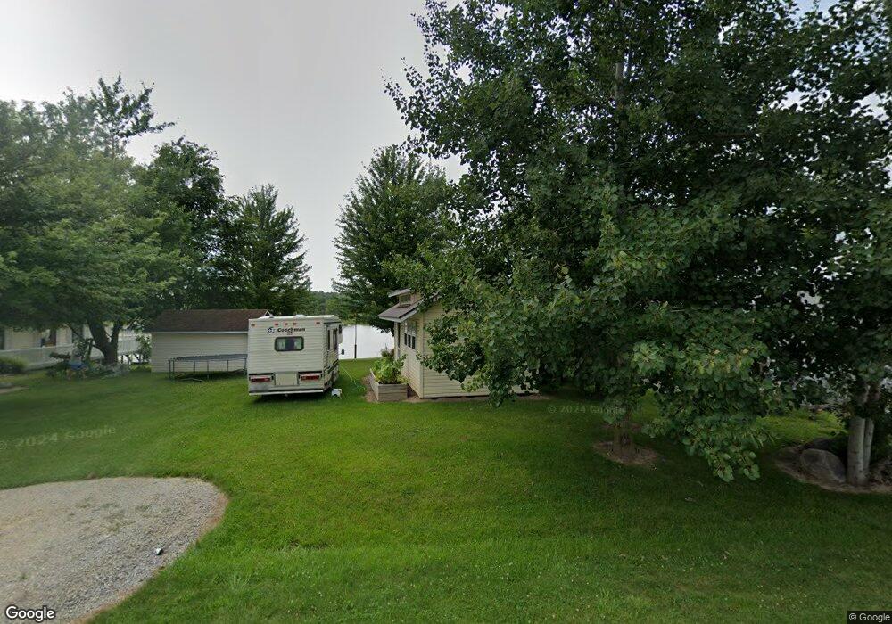
14727 W Diane Dr Camden, MI 49232
Estimated Value: $413,000 - $456,000
--
Bed
--
Bath
1,200
Sq Ft
$367/Sq Ft
Est. Value
About This Home
This home is located at 14727 W Diane Dr, Camden, MI 49232 and is currently estimated at $440,707, approximately $367 per square foot. 14727 W Diane Dr is a home located in Hillsdale County with nearby schools including Camden-Frontier K-8 School and Camden-Frontier High School.
Ownership History
Date
Name
Owned For
Owner Type
Purchase Details
Closed on
Sep 15, 2015
Sold by
Hillsdale County Treasurer & Foreclosing
Bought by
Meyers Larry P and Meyers Barbara A
Current Estimated Value
Purchase Details
Closed on
Nov 13, 2000
Sold by
Davidson Donna K
Bought by
Stramecky Cynthia A
Purchase Details
Closed on
Aug 16, 1993
Sold by
Davison Ezra and Davison Dorothy
Bought by
Davidson Donna and Stramecky Cynthia
Purchase Details
Closed on
Jun 5, 1986
Sold by
Lopacki Edwin A and Lopacki Phyllis
Bought by
Davison Ezra and Davison Dorothy
Create a Home Valuation Report for This Property
The Home Valuation Report is an in-depth analysis detailing your home's value as well as a comparison with similar homes in the area
Home Values in the Area
Average Home Value in this Area
Purchase History
| Date | Buyer | Sale Price | Title Company |
|---|---|---|---|
| Meyers Larry P | $42,000 | Attorney | |
| Stramecky Cynthia A | $22,000 | -- | |
| Davidson Donna | $18,000 | -- | |
| Davison Ezra | $3,500 | -- |
Source: Public Records
Tax History Compared to Growth
Tax History
| Year | Tax Paid | Tax Assessment Tax Assessment Total Assessment is a certain percentage of the fair market value that is determined by local assessors to be the total taxable value of land and additions on the property. | Land | Improvement |
|---|---|---|---|---|
| 2025 | $3,729 | $206,000 | $0 | $0 |
| 2024 | $1,566 | $194,700 | $0 | $0 |
| 2023 | $1,492 | $163,800 | $0 | $0 |
| 2022 | $3,571 | $137,000 | $0 | $0 |
| 2021 | $3,486 | $127,500 | $0 | $0 |
| 2020 | $3,527 | $127,100 | $0 | $0 |
| 2019 | $4,590 | $98,100 | $0 | $0 |
| 2018 | $1,263 | $22,600 | $0 | $0 |
| 2017 | $785 | $22,660 | $0 | $0 |
| 2016 | $779 | $18,830 | $0 | $0 |
| 2015 | $192 | $18,830 | $0 | $0 |
| 2013 | $186 | $25,960 | $0 | $0 |
| 2012 | $181 | $25,860 | $0 | $0 |
Source: Public Records
Map
Nearby Homes
- 14600 W Diane Dr
- 14401 Woodbridge Rd
- 14934 Heather Ct
- 13857 E Diane Dr
- 13791 E Diane Dr
- 13551 Hillsdale Rd
- 623-624 Yuma Trail
- 362 Wasco Trail
- 199 Shoshone Trail
- 988-989 Seneca Dr
- 207 Modoc Trail
- 155 Navajo Trail
- 213 Navajo Trail
- 0 Seneca Dr
- 131 Choctaw Trail
- 600 Seneca Dr
- 234 Seneca Dr
- 0 W Territorial Rd Unit 25043960
- 145 Lumbee Ln
- 8800 W Territorial Rd
- 14717 W Diane Dr
- 14729 W Diane Dr
- 14731 W Diane Dr
- 14715 W Diane Dr
- 14713 W Diane Dr
- 14718 W Diane Dr
- 14739 W Diane Dr
- 14711 W Diane Dr
- 14712 W Diane Dr
- 14735 W Diane Dr
- 14707 W Diane Dr
- 14703 W Diane Dr
- 1849 Point Dr
- 14701 W Diane Dr
- 1851 Point Dr
- 14691 W Diane Dr
- 14704 W Diane Dr
- 14675 W Diane Dr
- 1855 Point Dr
- 14635 W Diane Dr