14733 E 13 Mile Rd Warren, MI 48088
Northeast Warren NeighborhoodEstimated Value: $222,198 - $258,000
Studio
2
Baths
1,190
Sq Ft
$203/Sq Ft
Est. Value
About This Home
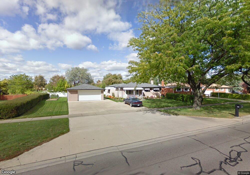
This home is located at 14733 E 13 Mile Rd, Warren, MI 48088 and is currently estimated at $241,800, approximately $203 per square foot. 14733 E 13 Mile Rd is a home located in Macomb County with nearby schools including Wilde Elementary School, Carter Middle School, and Paul K. Cousino High School.
Ownership History
Date
Name
Owned For
Owner Type
Purchase Details
Closed on
May 14, 2014
Sold by
Campbell Derek and Campbell Tina M
Bought by
Campbell Revocable Trust
Current Estimated Value
Purchase Details
Closed on
Jun 29, 2001
Sold by
Campbell Robert B
Bought by
Campbell Derek
Home Financials for this Owner
Home Financials are based on the most recent Mortgage that was taken out on this home.
Original Mortgage
$10,800
Interest Rate
6.92%
Mortgage Type
Purchase Money Mortgage
Create a Home Valuation Report for This Property
The Home Valuation Report is an in-depth analysis detailing your home's value as well as a comparison with similar homes in the area
Home Values in the Area
Average Home Value in this Area
Purchase History
| Date | Buyer | Sale Price | Title Company |
|---|---|---|---|
| Campbell Revocable Trust | -- | None Available | |
| Campbell Derek | $110,000 | -- |
Source: Public Records
Mortgage History
| Date | Status | Borrower | Loan Amount |
|---|---|---|---|
| Previous Owner | Campbell Derek | $10,800 |
Source: Public Records
Tax History
| Year | Tax Paid | Tax Assessment Tax Assessment Total Assessment is a certain percentage of the fair market value that is determined by local assessors to be the total taxable value of land and additions on the property. | Land | Improvement |
|---|---|---|---|---|
| 2025 | $3,179 | $115,670 | $0 | $0 |
| 2024 | $31 | $106,020 | $0 | $0 |
| 2023 | $2,948 | $96,440 | $0 | $0 |
| 2022 | $2,849 | $85,240 | $0 | $0 |
| 2021 | $2,898 | $82,220 | $0 | $0 |
| 2020 | $2,795 | $80,970 | $0 | $0 |
| 2019 | $2,695 | $77,310 | $0 | $0 |
| 2018 | $0 | $70,210 | $0 | $0 |
| 2017 | $2,703 | $67,200 | $11,940 | $55,260 |
| 2016 | $2,699 | $67,200 | $0 | $0 |
| 2015 | -- | $59,270 | $0 | $0 |
| 2013 | $7,622 | $46,420 | $0 | $0 |
Source: Public Records
Map
Nearby Homes
- 31126 Gloede Dr
- 30988 Moroso Dr
- 30607 Glenwood Cir
- 30650 Glenwood Cir
- 31102 Louise Dr
- 15218 Canberra St
- 31141 Morgan Dr
- 30644 Hayes Rd
- 31077 Shawn Dr
- 30310 Valenti Dr
- 14108 La Chene Ave
- 31331 Mc Namee
- 31056 Richert Unit 8
- 14066 Castle Ave
- 30776 Ferntree St
- 15615 Canberra St
- 30747 Sutherland Ave
- 15724 E 13 Mile Rd
- 30139 Flanders Ave
- 15303 Lincolnshire Ln
- 14749 E 13 Mile Rd
- 14711 E 13 Mile Rd
- 14722 Lutz Ave
- 14710 Lutz Ave
- 14761 E 13 Mile Rd
- 14734 Lutz Ave
- 14909 E 13 Mile Rd
- 31020 Regal Dr
- 31008 Regal Dr
- 31203 Beechwood Dr
- 14732 E 13 Mile Rd
- 31032 Regal Dr
- 14716 E 13 Mile Rd
- 14744 E 13 Mile Rd
- 31044 Regal Dr
- 48380 Primrose Dr
- 48316 Primrose Dr
- 48252 Primrose Dr
- 14746 Lutz Ave
- 14756 E 13 Mile Rd
Your Personal Tour Guide
Ask me questions while you tour the home.