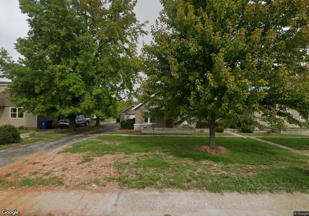
14735 E Highway 215 Stockton, MO 65785
Estimated Value: $276,000 - $391,000
--
Bed
--
Bath
2,008
Sq Ft
$156/Sq Ft
Est. Value
About This Home
This home is located at 14735 E Highway 215, Stockton, MO 65785 and is currently estimated at $312,506, approximately $155 per square foot. 14735 E Highway 215 is a home with nearby schools including Stockton Elementary School, Stockton Middle School, and Stockton High School.
Ownership History
Date
Name
Owned For
Owner Type
Purchase Details
Closed on
Aug 4, 2023
Sold by
Thomson Angela G
Bought by
Barnes Steven L and Barnes Mariah E
Current Estimated Value
Home Financials for this Owner
Home Financials are based on the most recent Mortgage that was taken out on this home.
Original Mortgage
$210,000
Outstanding Balance
$190,865
Interest Rate
6.03%
Mortgage Type
New Conventional
Estimated Equity
$121,641
Purchase Details
Closed on
Sep 11, 2007
Sold by
Collins Terry L and Collins Karen S
Bought by
Thomson Stewart and Thomson Angela G
Create a Home Valuation Report for This Property
The Home Valuation Report is an in-depth analysis detailing your home's value as well as a comparison with similar homes in the area
Home Values in the Area
Average Home Value in this Area
Purchase History
| Date | Buyer | Sale Price | Title Company |
|---|---|---|---|
| Barnes Steven L | -- | None Listed On Document | |
| Thomson Stewart | -- | None Available |
Source: Public Records
Mortgage History
| Date | Status | Borrower | Loan Amount |
|---|---|---|---|
| Open | Barnes Steven L | $210,000 |
Source: Public Records
Tax History Compared to Growth
Tax History
| Year | Tax Paid | Tax Assessment Tax Assessment Total Assessment is a certain percentage of the fair market value that is determined by local assessors to be the total taxable value of land and additions on the property. | Land | Improvement |
|---|---|---|---|---|
| 2025 | $1,167 | $27,090 | $2,620 | $24,470 |
| 2024 | $1,167 | $23,560 | $2,280 | $21,280 |
| 2023 | $1,165 | $23,560 | $0 | $0 |
| 2022 | $1,164 | $23,560 | $0 | $0 |
| 2021 | $1,124 | $23,560 | $0 | $0 |
| 2020 | $1,124 | $22,640 | $0 | $0 |
| 2019 | $1,096 | $22,640 | $0 | $0 |
| 2018 | $1,091 | $22,640 | $0 | $0 |
| 2017 | -- | $22,640 | $0 | $0 |
| 2016 | -- | $22,640 | $0 | $0 |
| 2015 | -- | $22,640 | $0 | $0 |
| 2014 | -- | $22,640 | $0 | $0 |
| 2013 | -- | $22,640 | $0 | $0 |
Source: Public Records
Map
Nearby Homes
- 18220 S 1511 Rd
- 18230 S 1515 Rd
- 14980 N Orleans Trail
- 000 S 1457 Rd
- 15225 E 1666 Rd
- 16576 S 1541 Rd
- 004 Gum Springs Dr
- 14562 S 1453 Rd
- 0004 S 1453 Road Tract B
- 0004 S 1453 Road Tract A
- 0004 South S 1453 Rd
- 0004 #B S 1453 Rd
- 0004 #A S 1453 Rd
- 0004 S 1453 Rd
- 0003 S 1453 Rd
- 14500 E 1450 Rd
- 14562 S 3rd St
- 000 Englewood Dr
- 200 N Blair Dr
- 16860 S 1135 Rd
- 14720 E Highway 215
- 14820 E Highway 215
- 14825 E Highway 215
- 14865 E Highway 215
- 14645 E Highway 215
- 14640 E Highway 215
- 14685 E Highway 215
- 14640 E Highway 215
- 14650 E Highway 215
- 14615 E Highway 215
- 0 Hwy 215 0 Hwy 215
- Tract 1 Highway 215
- 14565 E Highway 215
- 14565 E Highway 215
- 18035 S Highway 215
- 14839 E Highway 215
- 14475 E Highway 215
- 14480 E Hwy 215
- 18151 S Highway 215
- 18151 S Highway 215