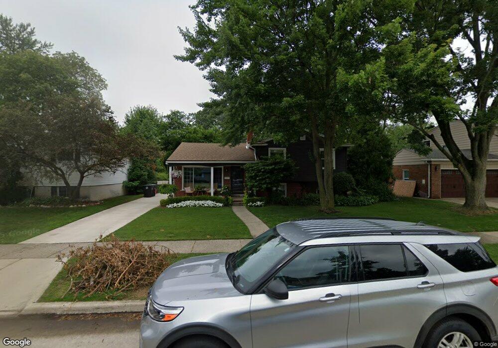
14739 Melvin St Livonia, MI 48154
Estimated Value: $301,000 - $324,000
4
Beds
2
Baths
1,771
Sq Ft
$178/Sq Ft
Est. Value
About This Home
This home is located at 14739 Melvin St, Livonia, MI 48154 and is currently estimated at $315,693, approximately $178 per square foot. 14739 Melvin St is a home located in Wayne County with nearby schools including Roosevelt Elementary School, Emerson Middle School, and Cooper Upper Elementary School.
Ownership History
Date
Name
Owned For
Owner Type
Purchase Details
Closed on
Apr 13, 2018
Sold by
Brossy Sandra
Bought by
Brossy Alex S
Current Estimated Value
Home Financials for this Owner
Home Financials are based on the most recent Mortgage that was taken out on this home.
Original Mortgage
$144,000
Outstanding Balance
$123,895
Interest Rate
4.46%
Mortgage Type
New Conventional
Estimated Equity
$191,798
Purchase Details
Closed on
Jun 21, 2005
Sold by
Brossy Dean L
Bought by
Brossy Sandra J
Create a Home Valuation Report for This Property
The Home Valuation Report is an in-depth analysis detailing your home's value as well as a comparison with similar homes in the area
Home Values in the Area
Average Home Value in this Area
Purchase History
| Date | Buyer | Sale Price | Title Company |
|---|---|---|---|
| Brossy Alex S | $180,000 | None Available | |
| Brossy Sandra J | -- | -- |
Source: Public Records
Mortgage History
| Date | Status | Borrower | Loan Amount |
|---|---|---|---|
| Open | Brossy Alex S | $144,000 |
Source: Public Records
Tax History Compared to Growth
Tax History
| Year | Tax Paid | Tax Assessment Tax Assessment Total Assessment is a certain percentage of the fair market value that is determined by local assessors to be the total taxable value of land and additions on the property. | Land | Improvement |
|---|---|---|---|---|
| 2025 | $1,906 | $141,300 | $0 | $0 |
| 2024 | $1,906 | $135,300 | $0 | $0 |
| 2023 | $1,818 | $126,800 | $0 | $0 |
| 2022 | $3,193 | $116,500 | $0 | $0 |
| 2021 | $3,002 | $107,600 | $0 | $0 |
| 2019 | $2,880 | $88,900 | $0 | $0 |
| 2018 | $1,488 | $85,900 | $0 | $0 |
| 2017 | $2,634 | $83,700 | $0 | $0 |
| 2016 | $2,769 | $77,300 | $0 | $0 |
| 2015 | $6,679 | $71,320 | $0 | $0 |
| 2012 | -- | $63,580 | $20,150 | $43,430 |
Source: Public Records
Map
Nearby Homes
- 29831 Oakley St
- 29760 Hoy St
- 14962 Beatrice St
- 29631 Lyndon St
- 30831 Lyndon St
- 14127 Hillcrest St
- 30261 Buckingham St
- 31221 Lyndon St
- 15345 Bainbridge St
- 14292 Hubbell St
- 31126 Grennada St
- 15608 Hidden Ln
- 31005 Roycroft St
- 14164 Bainbridge St
- 14154 Hubbell St
- 29109 Perth St
- 14327 Arden St
- 14563 Melrose St
- 14334 Sunbury St
- 14677 Auburndale St
- 14753 Melvin St
- 14725 Melvin St
- 14711 Melvin St
- 14803 Melvin St Unit Bldg-Unit
- 14803 Melvin St
- 14750 Melvin St
- 14732 Melvin St
- 14714 Melvin St
- 14661 Melvin St
- 14819 Melvin St
- 14808 Melvin St
- 29871 Oakley St
- 29872 Barkley St
- 14643 Melvin St
- 14837 Melvin St
- 14826 Melvin St
- 14656 Melvin St
- 29863 Oakley St
- 29870 Oakley St
- 29864 Barkley St