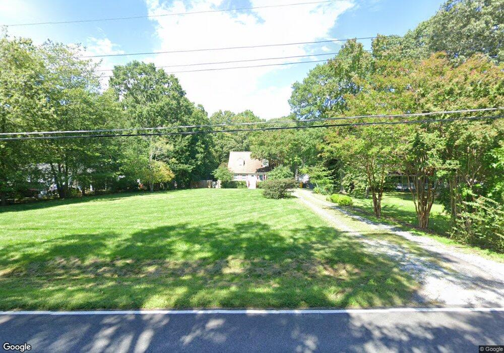
1474 Cedarhurst Rd Shady Side, MD 20764
Estimated Value: $450,000 - $461,674
3
Beds
2
Baths
1,530
Sq Ft
$298/Sq Ft
Est. Value
About This Home
This home is located at 1474 Cedarhurst Rd, Shady Side, MD 20764 and is currently estimated at $455,669, approximately $297 per square foot. 1474 Cedarhurst Rd is a home located in Anne Arundel County with nearby schools including Shady Side Elementary School, Southern Middle School, and Southern High School.
Ownership History
Date
Name
Owned For
Owner Type
Purchase Details
Closed on
Jul 21, 2005
Sold by
Bortz Ryan E
Bought by
Mullen Kelly C and Mullen Erick
Current Estimated Value
Home Financials for this Owner
Home Financials are based on the most recent Mortgage that was taken out on this home.
Original Mortgage
$276,500
Outstanding Balance
$148,600
Interest Rate
6.12%
Mortgage Type
Adjustable Rate Mortgage/ARM
Estimated Equity
$307,069
Purchase Details
Closed on
Jul 7, 2003
Sold by
Mcgarry Neil E
Bought by
Bortz Ryan E and Eskow Elizabeth A
Create a Home Valuation Report for This Property
The Home Valuation Report is an in-depth analysis detailing your home's value as well as a comparison with similar homes in the area
Home Values in the Area
Average Home Value in this Area
Purchase History
| Date | Buyer | Sale Price | Title Company |
|---|---|---|---|
| Mullen Kelly C | $395,000 | -- | |
| Bortz Ryan E | $278,900 | -- |
Source: Public Records
Mortgage History
| Date | Status | Borrower | Loan Amount |
|---|---|---|---|
| Open | Mullen Kelly C | $276,500 | |
| Closed | Bortz Ryan E | -- |
Source: Public Records
Tax History Compared to Growth
Tax History
| Year | Tax Paid | Tax Assessment Tax Assessment Total Assessment is a certain percentage of the fair market value that is determined by local assessors to be the total taxable value of land and additions on the property. | Land | Improvement |
|---|---|---|---|---|
| 2025 | $4,260 | $365,900 | -- | -- |
| 2024 | $4,260 | $343,200 | $0 | $0 |
| 2023 | $3,974 | $320,500 | $144,700 | $175,800 |
| 2022 | $3,718 | $314,600 | $0 | $0 |
| 2021 | $7,312 | $308,700 | $0 | $0 |
| 2020 | $3,555 | $302,800 | $144,700 | $158,100 |
| 2019 | $3,489 | $296,233 | $0 | $0 |
| 2018 | $2,937 | $289,667 | $0 | $0 |
| 2017 | $3,268 | $283,100 | $0 | $0 |
| 2016 | -- | $283,100 | $0 | $0 |
| 2015 | -- | $283,100 | $0 | $0 |
| 2014 | -- | $283,200 | $0 | $0 |
Source: Public Records
Map
Nearby Homes
- 1461 Cedarhurst Rd
- 0 Haile Pkwy Unit MDAA2127474
- 1445 & 1447 Haile Pkwy
- 1436 Haile Pkwy
- 1428 Haile Pkwy
- 1408 & 1410 Haile Pkwy
- 0 Shady Side Rd Unit MDAA2113156
- 0 Shady Side Rd Unit MDAA2113166
- 1208 Oak Ave
- 1213 Oak Ave
- 6070 Shady Side Rd
- 1220 Grove Ave
- 6118 Shady Side Rd
- 6152 Shady Side Rd
- 1512 Lincoln Rd
- 1419 Shady Rest Rd
- 4949 Idlewilde Rd
- 5211 Al Jones Dr
- 4950 W End Ave
- 5235 Al Jones Dr
- 1470 Cedarhurst Rd
- 1478 Cedarhurst Rd
- 1466 Cedarhurst Rd
- 1480 Cedarhurst Rd
- 1479 Cedarhurst Rd
- 1482 Cedarhurst Rd
- 1469 Cedarhurst Rd
- 1481 Cedarhurst Rd
- 1486 Cedarhurst Rd
- 0 Grove Ave Unit 1008125514
- 0 Grove Ave Unit AA6908859
- 0 Grove Ave Unit 1000130805
- 1500 Cedarhurst Rd
- 1502 Cedarhurst Rd
- 1454 Cedarhurst Rd
- 1491 Cedarhurst Rd
- 1448 Cedarhurst Rd
- 1487 Cedarhurst Rd
- 1504 Cedarhurst Rd
- 1451 Cedarhurst Rd