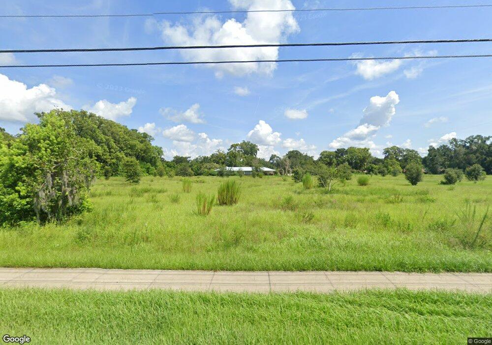
1475 W Plymouth Ave Deland, FL 32720
Estimated Value: $368,108 - $502,000
4
Beds
2
Baths
3,140
Sq Ft
$142/Sq Ft
Est. Value
About This Home
This home is located at 1475 W Plymouth Ave, Deland, FL 32720 and is currently estimated at $445,527, approximately $141 per square foot. 1475 W Plymouth Ave is a home located in Volusia County with nearby schools including Citrus Grove Elementary, Deland High School, and Southwestern Middle School.
Ownership History
Date
Name
Owned For
Owner Type
Purchase Details
Closed on
Feb 20, 2015
Sold by
Powers John A and Powers Matthew L
Bought by
Powers Thomas B and Powers Susan Liggett
Current Estimated Value
Home Financials for this Owner
Home Financials are based on the most recent Mortgage that was taken out on this home.
Original Mortgage
$181,360
Outstanding Balance
$138,806
Interest Rate
3.74%
Mortgage Type
New Conventional
Estimated Equity
$306,721
Purchase Details
Closed on
Dec 18, 2014
Sold by
Powers John A
Bought by
Powers John A and Powers Matthew L
Create a Home Valuation Report for This Property
The Home Valuation Report is an in-depth analysis detailing your home's value as well as a comparison with similar homes in the area
Home Values in the Area
Average Home Value in this Area
Purchase History
| Date | Buyer | Sale Price | Title Company |
|---|---|---|---|
| Powers Thomas B | $176,500 | Esquire Title Services Inc | |
| Powers John A | -- | Attorney |
Source: Public Records
Mortgage History
| Date | Status | Borrower | Loan Amount |
|---|---|---|---|
| Open | Powers Thomas B | $181,360 |
Source: Public Records
Tax History Compared to Growth
Tax History
| Year | Tax Paid | Tax Assessment Tax Assessment Total Assessment is a certain percentage of the fair market value that is determined by local assessors to be the total taxable value of land and additions on the property. | Land | Improvement |
|---|---|---|---|---|
| 2025 | $4,885 | $290,633 | $46,800 | $243,833 |
| 2024 | $4,885 | $292,555 | $46,800 | $245,755 |
| 2023 | $4,885 | $270,893 | $39,000 | $231,893 |
| 2022 | $4,518 | $240,871 | $37,700 | $203,171 |
| 2021 | $4,359 | $204,221 | $33,150 | $171,071 |
| 2020 | $4,431 | $211,025 | $33,150 | $177,875 |
| 2019 | $4,346 | $197,317 | $33,150 | $164,167 |
| 2018 | $4,008 | $170,333 | $19,500 | $150,833 |
| 2017 | $3,991 | $164,384 | $19,500 | $144,884 |
| 2016 | $3,857 | $162,456 | $0 | $0 |
| 2015 | $3,770 | $153,906 | $0 | $0 |
| 2014 | $2,070 | $121,416 | $0 | $0 |
Source: Public Records
Map
Nearby Homes
- 1530 Corner Crossing Rd
- 1522 E Silver Hammock
- 1290 W Plymouth Ave
- 707 Ostrich Fern Ln
- 700 Cypress Oak Cir
- 970 N Spring Garden Ave Unit 323
- 970 N Spring Garden Ave Unit 621
- 611 Curly Fern Ln
- 603 Cypress Oak Cir
- 710 Florida Elm Ct
- 706 Florida Elm Ct
- 702 Florida Elm Ct
- 698 Florida Elm Ct
- 694 Florida Elm Ct
- 600 Brittle Fern Ave
- 733 Maple Oak Dr
- 1145 Red Buckeye Ct
- 1141 Red Buckeye Ct
- Malory Plan at Delaney Reserve
- Abbey Plan at Delaney Reserve
- 1506 Robinwood Dr
- 1504 Robinwood Dr
- 907 Cabbage Ct
- 905 Cabbage Ct
- 1508 Robinwood Dr
- 909 Cabbage Ct
- 1502 Robinwood Dr
- 903 Cabbage Ct
- 1510 Robinwood Dr
- 911 Cabbage Ct
- 1001 Marjorie Rawlings Dr
- 912 Cabbage Ct
- 1505 Robinwood Dr
- 904 Cabbage Ct
- 1503 Robinwood Dr
- 999 Marjorie Rawlings Dr
- 906 Cabbage Ct
- 1507 Robinwood Dr
- 989 Marjorie Rawlings Dr
- 1514 Robinwood Dr
