14765 Us Highway 301 N Parrish, FL 34219
Estimated Value: $472,000 - $735,318
3
Beds
2
Baths
2,760
Sq Ft
$226/Sq Ft
Est. Value
About This Home
This home is located at 14765 Us Highway 301 N, Parrish, FL 34219 and is currently estimated at $622,830, approximately $225 per square foot. 14765 Us Highway 301 N is a home located in Manatee County with nearby schools including Barbara A. Harvey Elementary School, Buffalo Creek Middle School, and Parrish Community High School.
Ownership History
Date
Name
Owned For
Owner Type
Purchase Details
Closed on
May 25, 2016
Sold by
Kaleskas Ronny J
Bought by
Hammonds Jim and Smith Charles
Current Estimated Value
Purchase Details
Closed on
Jun 28, 2002
Sold by
Cline Jeff and Cline Rosa
Bought by
Kaleskas Ronny J
Home Financials for this Owner
Home Financials are based on the most recent Mortgage that was taken out on this home.
Original Mortgage
$47,250
Interest Rate
6.86%
Create a Home Valuation Report for This Property
The Home Valuation Report is an in-depth analysis detailing your home's value as well as a comparison with similar homes in the area
Home Values in the Area
Average Home Value in this Area
Purchase History
| Date | Buyer | Sale Price | Title Company |
|---|---|---|---|
| Hammonds Jim | $330,000 | Barnes Walker Title Inc | |
| Kaleskas Ronny J | $49,900 | -- |
Source: Public Records
Mortgage History
| Date | Status | Borrower | Loan Amount |
|---|---|---|---|
| Previous Owner | Kaleskas Ronny J | $47,250 |
Source: Public Records
Tax History Compared to Growth
Tax History
| Year | Tax Paid | Tax Assessment Tax Assessment Total Assessment is a certain percentage of the fair market value that is determined by local assessors to be the total taxable value of land and additions on the property. | Land | Improvement |
|---|---|---|---|---|
| 2025 | -- | $305,589 | -- | -- |
| 2024 | -- | $316,238 | -- | -- |
| 2023 | -- | $307,027 | -- | -- |
| 2022 | -- | $298,084 | -- | -- |
| 2021 | $0 | $277,965 | $0 | $0 |
| 2020 | $232 | $274,127 | $0 | $0 |
| 2019 | $220 | $267,964 | $0 | $0 |
| 2018 | $208 | $262,968 | $0 | $0 |
| 2017 | $1,958 | $257,559 | $0 | $0 |
| 2016 | $1,958 | $160,070 | $0 | $0 |
| 2015 | $1,986 | $158,957 | $0 | $0 |
| 2014 | $1,986 | $157,695 | $0 | $0 |
| 2013 | $1,979 | $155,365 | $50,689 | $104,676 |
Source: Public Records
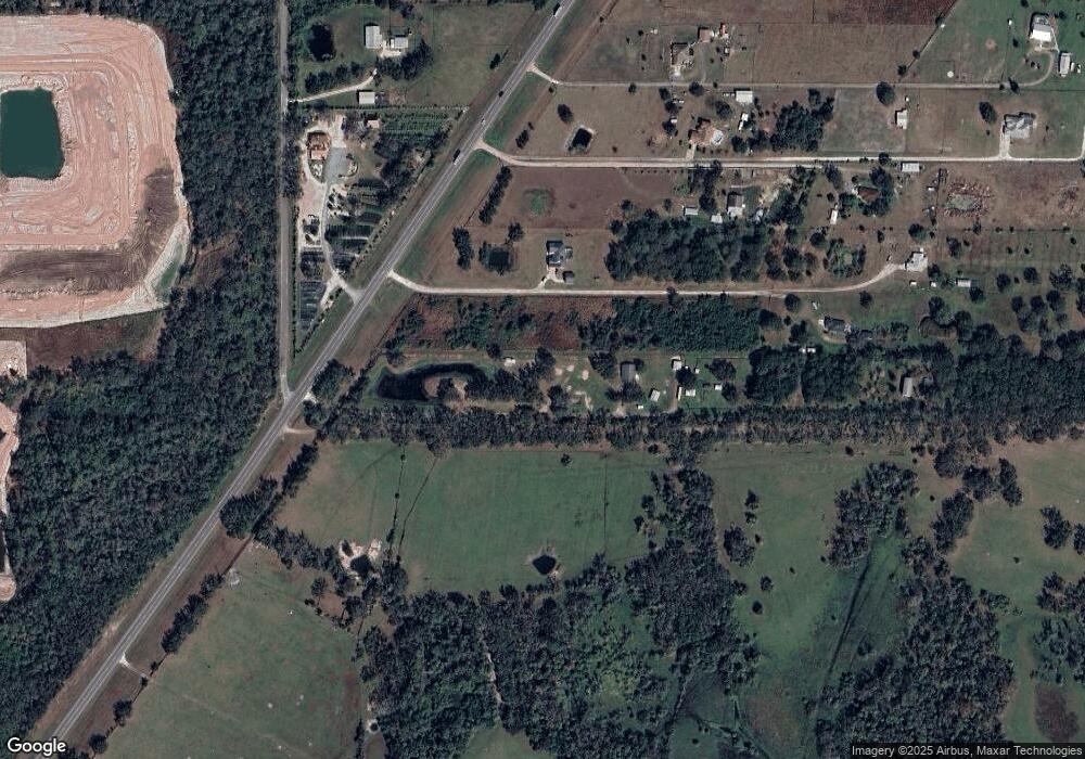
Map
Nearby Homes
- 14242 Sawmill St
- 13813 Gettis Lee Rd
- 14262 Sawmill St
- 14266 Sawmill St
- 13146 Stable Place
- 13154 Stable Place
- Jasmine Plan at Firethorn - 20' Townhome
- Marigold Plan at Firethorn - 20' Townhome
- 14270 Sawmill St
- Ivy Plan at Firethorn - 16' Townhome
- Hazel Plan at Firethorn - 16' Townhome
- 14020 Textile Run
- 14004 Textile Run
- 13208 Stable Place
- 14289 Manatee Rd
- 13219 Commons Ave
- 13224 Stable Place
- 14024 Textile Run
- 13231 Commons Ave
- 14775 Us Highway 301 N
- 14805 Us Highway 301 N
- 14815 Us Highway 301 N
- 14785 Us Highway 301 N
- 14845 Us Highway 301 N
- 14755 Us Highway 301 N
- 14825 Us Highway 301 N
- 14795 Us Highway 301 N
- 14861 Us Highway 301 N
- 14865 Us Highway 301 N
- 13650 Gettis Lee Rd
- 14875 Us Highway 301 N
- 14835 Us Highway 301 N
- 14874 Us 301 N
- 14857 Us-301 N
- 14857 Us Highway 301 N
- 0 Gettis Lee Rd
- 14884 Us Highway 301 N
- 14885 Us Highway 301 N
- 14895 Us Highway 301 N