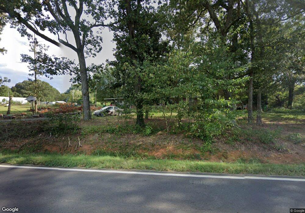
1477 Sandy Cross Rd Royston, GA 30662
Estimated Value: $217,144 - $469,000
2
Beds
2
Baths
1,985
Sq Ft
$174/Sq Ft
Est. Value
About This Home
This home is located at 1477 Sandy Cross Rd, Royston, GA 30662 and is currently estimated at $345,536, approximately $174 per square foot. 1477 Sandy Cross Rd is a home located in Franklin County with nearby schools including Franklin County High School and Cornerstone Christian Academy.
Ownership History
Date
Name
Owned For
Owner Type
Purchase Details
Closed on
Feb 16, 2011
Sold by
Pace Shaun G and Pace April
Bought by
Pace Shaun G
Current Estimated Value
Home Financials for this Owner
Home Financials are based on the most recent Mortgage that was taken out on this home.
Original Mortgage
$76,048
Outstanding Balance
$51,964
Interest Rate
4.75%
Mortgage Type
FHA
Estimated Equity
$293,572
Purchase Details
Closed on
Jan 22, 2003
Sold by
Pace Shaun G
Bought by
Pace Shaun G and Pace April
Purchase Details
Closed on
Aug 31, 1999
Sold by
Bentley Beverly P
Bought by
Pace Shaun G
Purchase Details
Closed on
Oct 28, 1996
Bought by
Bentley Beverly P
Create a Home Valuation Report for This Property
The Home Valuation Report is an in-depth analysis detailing your home's value as well as a comparison with similar homes in the area
Home Values in the Area
Average Home Value in this Area
Purchase History
| Date | Buyer | Sale Price | Title Company |
|---|---|---|---|
| Pace Shaun G | -- | -- | |
| Pace Shaun G | -- | -- | |
| Pace Shaun G | $75,000 | -- | |
| Bentley Beverly P | -- | -- |
Source: Public Records
Mortgage History
| Date | Status | Borrower | Loan Amount |
|---|---|---|---|
| Open | Pace Shaun G | $76,048 |
Source: Public Records
Tax History Compared to Growth
Tax History
| Year | Tax Paid | Tax Assessment Tax Assessment Total Assessment is a certain percentage of the fair market value that is determined by local assessors to be the total taxable value of land and additions on the property. | Land | Improvement |
|---|---|---|---|---|
| 2024 | $1,170 | $51,139 | $5,421 | $45,718 |
| 2023 | $1,148 | $46,490 | $4,928 | $41,562 |
| 2022 | $1,022 | $41,605 | $3,841 | $37,764 |
| 2021 | $942 | $36,243 | $3,841 | $32,402 |
| 2020 | $952 | $36,243 | $3,841 | $32,402 |
| 2019 | $920 | $36,243 | $3,841 | $32,402 |
| 2018 | $814 | $32,315 | $4,660 | $27,655 |
| 2017 | $847 | $32,315 | $4,660 | $27,655 |
| 2016 | $733 | $27,126 | $4,660 | $22,466 |
| 2015 | -- | $27,125 | $4,660 | $22,466 |
| 2014 | -- | $27,126 | $4,660 | $22,466 |
| 2013 | -- | $27,603 | $4,659 | $22,944 |
Source: Public Records
Map
Nearby Homes
- 597 Meadow Brook Ln
- 157 Riverbend Cir
- 1350 Noah Crow Rd
- 222 Reno Rd
- 1291 Brays Lake Rd
- 329 Riverbend Dr
- 1112 Reno Rd
- 2695 Brays Lake Rd
- 4308 Athens Rd
- 1344 Jim Grizzle Rd
- 2390 W Main St
- 66 Topaz Ln
- 0 Dove Hill Rd Unit 25439972
- 0 Dove Hill Rd Unit 10637645
- 318 Jim Grizzle Rd
- 352 Jim Grizzle Rd
- 0 Nails Creek Crossing Unit 10584678
- 0 S Tanglewood Dr Unit 1027287
- 0 S Tanglewood Dr Unit 10538269
- 249 Taylor St
- 1425 Sandy Cross Rd
- 1442 Sandy Cross Rd
- 2426 Roach Rd
- 2303 Roach Rd
- 1572 Sandy Cross Rd
- 0 Highway 51 & Noah Crow Rd Unit 7355514
- 0 Highway 51 & Noah Crow Rd Unit 20173877
- 0 Highway 51 and Noah Crow Rd Unit 20175925
- 0 Highway 51 and Noah Crow Rd Unit 7347377
- 0 Highway 51 Noah Crow Rd Unit 7455660
- 0 Noah Crow Rd Unit 3A&B
- 000 Noah Crow Rd
- 0 Noah Crow Rd Unit 1021166
- 0 Noah Crow Rd Unit 1021164
- 0 Noah Crow Rd Unit 10370513
- 0 Noah Crow Rd Unit 10370511
- 0 Noah Crow Rd Unit 1017020
- 0 Noah Crow Rd Unit 10295669
- 0 Noah Crow Rd Unit 3A&B 7474463
- 0 Noah Crow Rd Unit 3172073