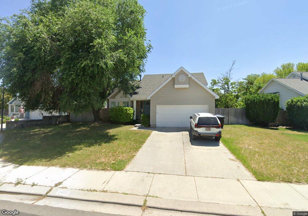
1477 W Crosspark Dr Unit 26 Salt Lake City, UT 84123
Estimated Value: $513,000 - $549,676
3
Beds
2
Baths
1,829
Sq Ft
$292/Sq Ft
Est. Value
About This Home
This home is located at 1477 W Crosspark Dr Unit 26, Salt Lake City, UT 84123 and is currently estimated at $534,419, approximately $292 per square foot. 1477 W Crosspark Dr Unit 26 is a home located in Salt Lake County with nearby schools including Plymouth Elementary School, Eisenhower Jr High School, and Taylorsville High School.
Ownership History
Date
Name
Owned For
Owner Type
Purchase Details
Closed on
Oct 15, 2021
Sold by
Furse Dennis E
Bought by
Barlow Emmett
Current Estimated Value
Home Financials for this Owner
Home Financials are based on the most recent Mortgage that was taken out on this home.
Original Mortgage
$472,625
Outstanding Balance
$430,990
Interest Rate
2.8%
Mortgage Type
New Conventional
Estimated Equity
$103,429
Purchase Details
Closed on
Jul 13, 1995
Sold by
Savage D Bryan and Savage Annmaree
Bought by
Furse Dennis E
Home Financials for this Owner
Home Financials are based on the most recent Mortgage that was taken out on this home.
Original Mortgage
$102,400
Interest Rate
7.74%
Create a Home Valuation Report for This Property
The Home Valuation Report is an in-depth analysis detailing your home's value as well as a comparison with similar homes in the area
Home Values in the Area
Average Home Value in this Area
Purchase History
| Date | Buyer | Sale Price | Title Company |
|---|---|---|---|
| Barlow Emmett | -- | Lydolph & Weierholt Ttl Ins | |
| Furse Dennis E | -- | -- |
Source: Public Records
Mortgage History
| Date | Status | Borrower | Loan Amount |
|---|---|---|---|
| Open | Barlow Emmett | $472,625 | |
| Previous Owner | Furse Dennis E | $102,400 |
Source: Public Records
Tax History Compared to Growth
Tax History
| Year | Tax Paid | Tax Assessment Tax Assessment Total Assessment is a certain percentage of the fair market value that is determined by local assessors to be the total taxable value of land and additions on the property. | Land | Improvement |
|---|---|---|---|---|
| 2025 | $2,994 | $509,200 | $140,200 | $369,000 |
| 2024 | $2,994 | $491,000 | $135,800 | $355,200 |
| 2023 | $2,994 | $456,300 | $126,900 | $329,400 |
| 2022 | $2,865 | $464,900 | $124,400 | $340,500 |
| 2021 | $2,499 | $345,300 | $95,700 | $249,600 |
| 2020 | $2,287 | $305,900 | $88,000 | $217,900 |
| 2019 | $2,305 | $301,000 | $88,000 | $213,000 |
| 2018 | $2,114 | $266,200 | $85,200 | $181,000 |
| 2017 | $1,897 | $251,000 | $85,200 | $165,800 |
| 2016 | $1,738 | $229,900 | $85,200 | $144,700 |
| 2015 | $1,852 | $222,300 | $86,800 | $135,500 |
| 2014 | $1,793 | $209,800 | $82,800 | $127,000 |
Source: Public Records
Map
Nearby Homes
- 5449 S Coastal Ct
- 5435 S Break Water Dr
- 1334 Portside Way Unit 165
- 1380 W Ocean Ct
- 1273 W Brister Dr
- 1332 W Ocean Ct
- 1370 W Telegraph Hill Dr
- 1401 Beacon Hill Dr Unit 118
- 1381 Beacon Hill Dr
- 1178 W Brandonwood Dr
- 1297 Glencoe Dr
- 5552 Hew Wood Dr
- 2001 W 5540 S
- 1193 W Dun Robin Ct
- 1179 W Dun Robin Ct
- 903 W Bullion St
- 913 W Bullion St Unit 10
- 1886 W Champagne Ave
- 1471 W 6170 S
- 2016 W Hew Wood Ct
- 1477 Crosspark Dr
- 1489 W Crosspark Dr
- 1489 Crosspark Dr
- 1465 Crosspark Dr
- 1465 W Crosspark Dr
- 1478 W Crosspark Dr
- 1478 Crosspark Dr
- 1488 Crosspark Dr
- 5633 Crosspark Dr
- 5633 S Crosspark Dr
- 5621 Crosspark Dr
- 5622 Jessieo Way
- 5610 S Crosspark Dr
- 5610 Crosspark Dr
- 5634 Jessieo Way
- 5610 Jessieo Way
- 5648 S Jessieo Way
- 5648 Jessieo Way
- 5611 Crosspark Dr
- 5648 Jessie O Way