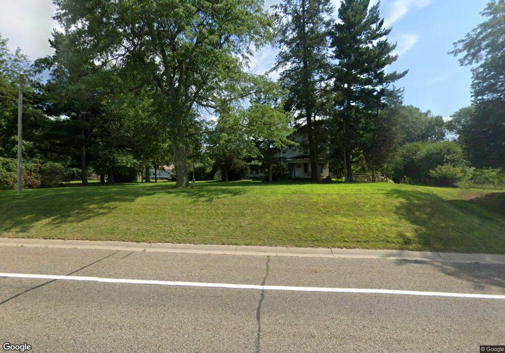
14775 Us Highway 12 Brooklyn, MI 49230
Estimated Value: $361,197 - $428,000
4
Beds
4
Baths
2,900
Sq Ft
$134/Sq Ft
Est. Value
About This Home
This home is located at 14775 Us Highway 12, Brooklyn, MI 49230 and is currently estimated at $389,066, approximately $134 per square foot. 14775 Us Highway 12 is a home located in Lenawee County with nearby schools including Onsted Elementary School, Onsted Middle School, and Onsted Community High School.
Ownership History
Date
Name
Owned For
Owner Type
Purchase Details
Closed on
Jun 17, 2011
Sold by
Patrias Marlene
Bought by
Barns Heather Jewell
Current Estimated Value
Purchase Details
Closed on
Nov 12, 2009
Sold by
Federal National Mortgage Association
Bought by
Patrias Mariene
Purchase Details
Closed on
Feb 25, 2009
Sold by
Mortgage Electronic Registrations System
Bought by
Federal National Mortgage Association
Purchase Details
Closed on
Feb 5, 2009
Sold by
Seiber Dee C and Seiber Frances A
Bought by
Mortgage Electronic Registration Systems
Create a Home Valuation Report for This Property
The Home Valuation Report is an in-depth analysis detailing your home's value as well as a comparison with similar homes in the area
Home Values in the Area
Average Home Value in this Area
Purchase History
| Date | Buyer | Sale Price | Title Company |
|---|---|---|---|
| Barns Heather Jewell | -- | None Available | |
| Patrias Mariene | $47,000 | None Available | |
| Federal National Mortgage Association | -- | None Available | |
| Mortgage Electronic Registration Systems | $127,359 | None Available |
Source: Public Records
Tax History Compared to Growth
Tax History
| Year | Tax Paid | Tax Assessment Tax Assessment Total Assessment is a certain percentage of the fair market value that is determined by local assessors to be the total taxable value of land and additions on the property. | Land | Improvement |
|---|---|---|---|---|
| 2025 | $2,907 | $153,000 | $0 | $0 |
| 2024 | $1,004 | $144,400 | $0 | $0 |
| 2023 | -- | $126,800 | $0 | $0 |
| 2022 | $2,135 | $113,300 | $0 | $0 |
| 2021 | $2,130 | $110,900 | $0 | $0 |
| 2020 | $2,023 | $89,100 | $0 | $0 |
| 2019 | $213,204 | $89,100 | $0 | $0 |
| 2018 | $1,944 | $0 | $0 | $0 |
| 2017 | $1,850 | $0 | $0 | $0 |
| 2016 | $1,838 | $0 | $0 | $0 |
| 2014 | -- | $0 | $0 | $0 |
Source: Public Records
Map
Nearby Homes
- 900 Pamawa Dr
- 14800 Canary Ct
- 61 Pamawa Dr
- Lot 62 Pamawa Dr
- 15821 U S 12
- 15255 Wheaton Rd
- 186 Harris Dr
- 12999 U S 12
- 13505 Vischer Rd
- 6977 Cement City Rd
- 9304 Parkhurst Hwy
- 15816 Sanford Rd
- 1268 Maple Ln
- 12938 Kelley Rd
- 753 Vaniman Island Dr
- 8000 Parkhurst Hwy Unit Carroll Dr ((1175)
- 104 High View Ct
- 10911 Devils Lake Hwy
- 129 Kathy Ln
- 6416 Kelley Rd
- 14775 Us Highway 12
- 14550 U S 12
- 14550 Us Highway 12 Unit ROUND LAKE COURT
- 14550 Us Highway 12
- 14000 W Us-12
- 14550 Round Lake Ct
- 14000 W Us 12 Unit 14000 Brian O
- 14000 W Us 12
- 14700 Us Highway 12
- 11081 Round Lake Hwy
- 10000 Round Lake Hwy
- 14776 Us Highway 12
- 14776 Us Highway 12
- 14905 Us Highway 12
- 14905 Us Highway 12
- 14325 Us Highway 12
- 14325 Us Highway 12
- 14925 Us Highway 12
- 14980 Us Hwy 12
- 14825 Oak Ln