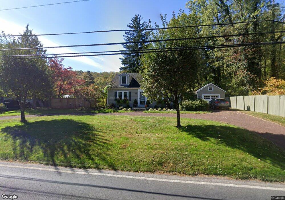
1478 River Rd Upper Black Eddy, PA 18972
Estimated Value: $452,000 - $541,000
3
Beds
2
Baths
1,426
Sq Ft
$346/Sq Ft
Est. Value
About This Home
This home is located at 1478 River Rd, Upper Black Eddy, PA 18972 and is currently estimated at $493,823, approximately $346 per square foot. 1478 River Rd is a home located in Bucks County with nearby schools including Durham Nockamixon Elementary School, Palisades Middle School, and Palisades High School.
Ownership History
Date
Name
Owned For
Owner Type
Purchase Details
Closed on
Feb 11, 2022
Sold by
Pontier Nancy M
Bought by
Pontier Nancy M and Pontier Annamarie
Current Estimated Value
Purchase Details
Closed on
Jul 30, 1998
Sold by
Foley Helen B
Bought by
Pontier Nancy M
Home Financials for this Owner
Home Financials are based on the most recent Mortgage that was taken out on this home.
Original Mortgage
$118,000
Interest Rate
6.92%
Purchase Details
Closed on
Jul 25, 1983
Bought by
Foley Helen B
Create a Home Valuation Report for This Property
The Home Valuation Report is an in-depth analysis detailing your home's value as well as a comparison with similar homes in the area
Home Values in the Area
Average Home Value in this Area
Purchase History
| Date | Buyer | Sale Price | Title Company |
|---|---|---|---|
| Pontier Nancy M | -- | Pratt Brett & Luce Pc | |
| Pontier Nancy M | $140,000 | -- | |
| Foley Helen B | $70,000 | -- |
Source: Public Records
Mortgage History
| Date | Status | Borrower | Loan Amount |
|---|---|---|---|
| Previous Owner | Pontier Nancy M | $118,000 |
Source: Public Records
Tax History Compared to Growth
Tax History
| Year | Tax Paid | Tax Assessment Tax Assessment Total Assessment is a certain percentage of the fair market value that is determined by local assessors to be the total taxable value of land and additions on the property. | Land | Improvement |
|---|---|---|---|---|
| 2025 | $4,134 | $27,340 | $9,680 | $17,660 |
| 2024 | $4,134 | $27,340 | $9,680 | $17,660 |
| 2023 | $4,079 | $27,340 | $9,680 | $17,660 |
| 2022 | $4,031 | $27,340 | $9,680 | $17,660 |
| 2021 | $4,004 | $27,340 | $9,680 | $17,660 |
| 2020 | $4,004 | $27,340 | $9,680 | $17,660 |
| 2019 | $3,957 | $27,340 | $9,680 | $17,660 |
| 2018 | $3,930 | $27,340 | $9,680 | $17,660 |
| 2017 | $3,867 | $27,340 | $9,680 | $17,660 |
| 2016 | $3,867 | $27,340 | $9,680 | $17,660 |
| 2015 | -- | $27,340 | $9,680 | $17,660 |
| 2014 | -- | $27,340 | $9,680 | $17,660 |
Source: Public Records
Map
Nearby Homes
- 1512 River Rd
- 1434 River Rd
- 1628 River Rd
- 1396 River Rd
- 14 Hillside Ave
- 31 Stover Ave
- 284 Milford Mount Pleasant Rd
- 554 Milford Frenchtown Rd
- 169 York Rd
- 1692 Chestnut Ridge Rd
- 5 Paetzell Farm Ct
- 7 Paetzell Farm Ct
- 9 Paetzell Farm Ct
- 3 Paetzell Farm Ct
- 11 Paetzell Farm Ct
- 1286 Bridgeton Hill Rd
- 14 Red Cliff Village Ln
- 215 Stamets Rd
- 369 Stamets Rd
- 1545 Oak Ln