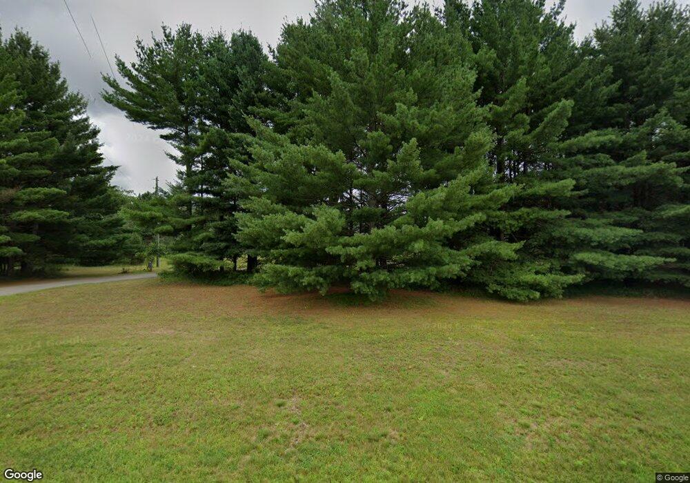
14787 190th Ave Big Rapids, MI 49307
Estimated Value: $353,000 - $446,000
4
Beds
3
Baths
2,136
Sq Ft
$188/Sq Ft
Est. Value
About This Home
This home is located at 14787 190th Ave, Big Rapids, MI 49307 and is currently estimated at $401,743, approximately $188 per square foot. 14787 190th Ave is a home located in Mecosta County with nearby schools including Big Rapids High School, Crossroads Charter Academy Elementary School, and Crossroads Charter Academy Middle/High School.
Ownership History
Date
Name
Owned For
Owner Type
Purchase Details
Closed on
May 17, 2004
Sold by
Cendant Mobility Government Fincl Servic
Bought by
Templin Lee and Templin Kelley R
Current Estimated Value
Home Financials for this Owner
Home Financials are based on the most recent Mortgage that was taken out on this home.
Original Mortgage
$140,000
Interest Rate
5.85%
Mortgage Type
Purchase Money Mortgage
Purchase Details
Closed on
Dec 19, 2003
Sold by
Wooley James H and Wooley Jennifer L
Bought by
Cendant Mobility Government Fincl Servic
Create a Home Valuation Report for This Property
The Home Valuation Report is an in-depth analysis detailing your home's value as well as a comparison with similar homes in the area
Home Values in the Area
Average Home Value in this Area
Purchase History
| Date | Buyer | Sale Price | Title Company |
|---|---|---|---|
| Templin Lee | $175,000 | Mecosta County Abstract & Ti | |
| Cendant Mobility Government Fincl Servic | $192,500 | Mecosta County Abstract & Ti |
Source: Public Records
Mortgage History
| Date | Status | Borrower | Loan Amount |
|---|---|---|---|
| Closed | Templin Lee | $140,000 |
Source: Public Records
Tax History Compared to Growth
Tax History
| Year | Tax Paid | Tax Assessment Tax Assessment Total Assessment is a certain percentage of the fair market value that is determined by local assessors to be the total taxable value of land and additions on the property. | Land | Improvement |
|---|---|---|---|---|
| 2025 | $2,741 | $160,500 | $0 | $0 |
| 2024 | -- | $150,600 | $0 | $0 |
| 2023 | -- | $136,300 | $0 | $0 |
| 2022 | $0 | $116,800 | $0 | $0 |
| 2021 | -- | $106,400 | $0 | $0 |
| 2020 | -- | -- | $0 | $0 |
| 2019 | -- | -- | $0 | $0 |
| 2018 | -- | -- | $0 | $0 |
| 2017 | -- | -- | $0 | $0 |
| 2016 | -- | -- | $0 | $0 |
| 2014 | -- | -- | $0 | $0 |
| 2013 | -- | -- | $0 | $0 |
Source: Public Records
Map
Nearby Homes
- 19308 Seneca Ave
- 708 Novak Ln
- 19223 Fox Glove Cir
- 14168 Trillium Ln
- 610 Birch St
- 19400 14 Mile Rd
- 526 & 530 S 3rd Ave
- 436 S Bronson Ave
- 18725 16 Mile Rd
- 326 Ives Ave
- 17210 Mckinley Rd
- 420 Linden St
- 314 S 3rd Ave
- 407 S Michigan Ave
- 203 S 3rd Ave
- 414 Maple St
- 707 Maple St
- 17474 15 Mile Rd
- 417 Maple St
- 117 S Warren Ave
- 14971 190th Ave
- 14855 190th Ave
- 14888 190th Ave
- 14710 190th Ave
- 14622 190th Ave
- 14810 190th Ave
- 14735 190th Ave
- 14642 190th Ave
- 14590 190th Ave
- 19300 15 Mile Rd
- 15495 Old Millpond Rd
- 15485 Old Millpond Rd
- 14925 Old Millpond Rd
- 15475 Old Millpond Rd
- 19204 Apache Ln
- 14932 Old Millpond Rd
- 15020 Old Millpond Rd
- 19161 Apache Ln
- 0 Apache Ln
- 14991 New Millpond Rd
