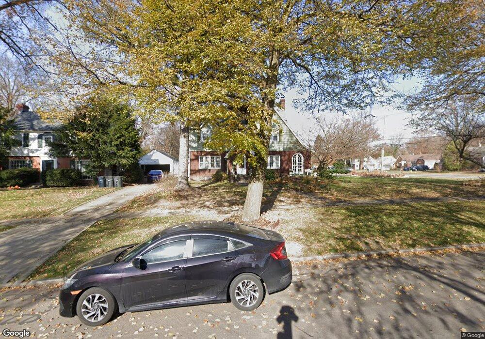
1479 Delia Ave Akron, OH 44320
West Akron NeighborhoodEstimated Value: $206,000 - $223,000
4
Beds
3
Baths
2,260
Sq Ft
$95/Sq Ft
Est. Value
About This Home
This home is located at 1479 Delia Ave, Akron, OH 44320 and is currently estimated at $214,100, approximately $94 per square foot. 1479 Delia Ave is a home located in Summit County with nearby schools including Summit Academy School, Our Lady Of The Elms Elementary School, and St. Sebastian Parish School.
Ownership History
Date
Name
Owned For
Owner Type
Purchase Details
Closed on
Jul 7, 2005
Sold by
Kearns Landon and Kearns Shannon P E
Bought by
Wrice Sheldon B
Current Estimated Value
Home Financials for this Owner
Home Financials are based on the most recent Mortgage that was taken out on this home.
Original Mortgage
$160,000
Outstanding Balance
$83,953
Interest Rate
5.74%
Mortgage Type
Fannie Mae Freddie Mac
Estimated Equity
$130,147
Purchase Details
Closed on
May 24, 2002
Sold by
Baur Richard L
Bought by
Kearns Landon and Kearns Shannon P E
Home Financials for this Owner
Home Financials are based on the most recent Mortgage that was taken out on this home.
Original Mortgage
$126,012
Interest Rate
7%
Mortgage Type
FHA
Create a Home Valuation Report for This Property
The Home Valuation Report is an in-depth analysis detailing your home's value as well as a comparison with similar homes in the area
Home Values in the Area
Average Home Value in this Area
Purchase History
| Date | Buyer | Sale Price | Title Company |
|---|---|---|---|
| Wrice Sheldon B | $160,000 | First American Title Ins Co | |
| Kearns Landon | $128,000 | First Security Title Corpora |
Source: Public Records
Mortgage History
| Date | Status | Borrower | Loan Amount |
|---|---|---|---|
| Open | Wrice Sheldon B | $160,000 | |
| Previous Owner | Kearns Landon | $126,012 |
Source: Public Records
Tax History Compared to Growth
Tax History
| Year | Tax Paid | Tax Assessment Tax Assessment Total Assessment is a certain percentage of the fair market value that is determined by local assessors to be the total taxable value of land and additions on the property. | Land | Improvement |
|---|---|---|---|---|
| 2025 | $3,150 | $52,101 | $9,373 | $42,728 |
| 2024 | $3,150 | $52,101 | $9,373 | $42,728 |
| 2023 | $3,150 | $52,101 | $9,373 | $42,728 |
| 2022 | $2,889 | $36,950 | $6,647 | $30,303 |
| 2021 | $2,878 | $36,950 | $6,647 | $30,303 |
| 2020 | $2,841 | $36,950 | $6,650 | $30,300 |
| 2019 | $2,611 | $30,320 | $7,710 | $22,610 |
| 2018 | $2,451 | $30,320 | $7,710 | $22,610 |
| 2017 | $2,709 | $30,320 | $7,710 | $22,610 |
| 2016 | $2,710 | $33,470 | $7,710 | $25,760 |
| 2015 | $2,709 | $33,470 | $7,710 | $25,760 |
| 2014 | $2,689 | $33,470 | $7,710 | $25,760 |
| 2013 | $2,958 | $38,120 | $7,710 | $30,410 |
Source: Public Records
Map
Nearby Homes
- 632 Orlando Ave
- 1390 Delia Ave
- 454 Roslyn Ave
- S/L 40 W Sunset View Dr
- S/L 37 W Sunset View Dr
- S/L 39 W Sunset View Dr
- S/L 38 W Sunset View Dr
- 425 Orlando Ave
- 724 Hayden Ave
- 571 Crestview Ave
- 693 Roslyn Ave
- S/L 9 Sunrise View Dr
- S/L 7 Sunrise View Dr
- S/L 1 Sunrise View Dr
- S/L 8 Sunrise View Dr
- 773 Seward Ave
- S/L 6 Sunrise View Dr
- S/L 5 Sunrise View Dr
- S/L 4 Sunrise View Dr
- S/L 3 Sunrise View Dr
- 600 S Hawkins Ave
- 1489 Delia Ave
- 594 S Hawkins Ave
- 601 Nome Ave
- 1495 Delia Ave
- 1467 Delia Ave
- 588 S Hawkins Ave
- 601 S Hawkins Ave
- 1492 Delia Ave
- 597 Nome Ave
- 595 S Hawkins Ave
- 1459 Delia Ave
- 580 S Hawkins Ave
- 606 Nome Ave
- 1507 Delia Ave
- 1500 Delia Ave
- 585 S Hawkins Ave
- 585 Nome Ave
- 594 Nome Ave
- 642 S Hawkins Ave