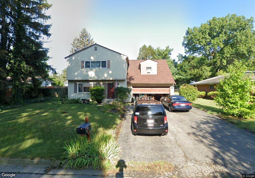
1479 Devonhurst Dr Columbus, OH 43232
Shady Lane NeighborhoodEstimated Value: $235,753 - $313,000
4
Beds
3
Baths
2,531
Sq Ft
$111/Sq Ft
Est. Value
About This Home
This home is located at 1479 Devonhurst Dr, Columbus, OH 43232 and is currently estimated at $279,938, approximately $110 per square foot. 1479 Devonhurst Dr is a home located in Franklin County with nearby schools including Woodcrest Elementary School, Sherwood Middle School, and Walnut Ridge High School.
Ownership History
Date
Name
Owned For
Owner Type
Purchase Details
Closed on
Nov 25, 2003
Sold by
Liakos E Leo and Liakos Sandra L
Bought by
Wollam Rodney G
Current Estimated Value
Home Financials for this Owner
Home Financials are based on the most recent Mortgage that was taken out on this home.
Original Mortgage
$169,900
Outstanding Balance
$75,851
Interest Rate
5.81%
Mortgage Type
VA
Estimated Equity
$204,087
Purchase Details
Closed on
Oct 2, 1969
Bought by
Liakos E Leo
Create a Home Valuation Report for This Property
The Home Valuation Report is an in-depth analysis detailing your home's value as well as a comparison with similar homes in the area
Home Values in the Area
Average Home Value in this Area
Purchase History
| Date | Buyer | Sale Price | Title Company |
|---|---|---|---|
| Wollam Rodney G | $169,900 | Chicago Title | |
| Liakos E Leo | -- | -- |
Source: Public Records
Mortgage History
| Date | Status | Borrower | Loan Amount |
|---|---|---|---|
| Open | Wollam Rodney G | $169,900 |
Source: Public Records
Tax History
| Year | Tax Paid | Tax Assessment Tax Assessment Total Assessment is a certain percentage of the fair market value that is determined by local assessors to be the total taxable value of land and additions on the property. | Land | Improvement |
|---|---|---|---|---|
| 2025 | $4,537 | $112,290 | $16,140 | $96,150 |
| 2024 | $4,537 | $112,290 | $16,140 | $96,150 |
| 2023 | $4,472 | $112,280 | $16,135 | $96,145 |
| 2022 | $3,446 | $76,130 | $7,530 | $68,600 |
| 2021 | $3,453 | $76,130 | $7,530 | $68,600 |
| 2020 | $3,458 | $76,130 | $7,530 | $68,600 |
| 2019 | $3,098 | $59,820 | $6,020 | $53,800 |
| 2018 | $2,683 | $59,820 | $6,020 | $53,800 |
| 2017 | $2,800 | $59,820 | $6,020 | $53,800 |
| 2016 | $2,505 | $46,560 | $7,530 | $39,030 |
| 2015 | $2,274 | $46,560 | $7,530 | $39,030 |
| 2014 | $2,279 | $46,560 | $7,530 | $39,030 |
| 2013 | $1,278 | $51,730 | $8,365 | $43,365 |
Source: Public Records
Map
Nearby Homes
- 1616 Coppertree Rd Unit 1615
- 1759 Lonsdale Rd
- 5762 Hallridge Cir
- 5778 Lucinda Ct Unit 5778
- 5337 Ivyhurst Dr
- 1470 Efner Dr
- 1835 Woodette Rd
- 1590 Jacqueline Ct
- 1591 Stephanie Ct Unit 15912
- 1320 Nancy Ln
- 1797 Quarry Ridge Dr Unit A
- 1209 Norman Dr
- 5846 Riverton Rd
- 1314 Yorkland Rd Unit C
- 5207 Kornwal Dr
- 4859 Folger Dr
- 4991 Justin Rd
- 1945 Riverdale Rd
- 1260 Country Club Rd
- 931 Antwerp Rd
- 1471 Devonhurst Dr
- 5378 York Ln S
- 1468 Noe Bixby Rd
- 1460 Noe Bixby Rd
- 5364 York Ln S
- 1459 Devonhurst Dr
- 1484 Devonhurst Dr
- 1476 Devonhurst Dr
- 5402 York Ln S
- 1452 Noe Bixby Rd
- 5377 York Ln S
- 1464 Devonhurst Dr
- 1451 Devonhurst Dr
- 1500 Noe Bixby Rd
- 1440 Noe Bixby Rd
- 5399 York Ln S
- 5418 York Ln S
- 1456 Devonhurst Dr
- 1519 Devonhurst Dr
- 1485 Lonsdale Rd
Your Personal Tour Guide
Ask me questions while you tour the home.