1479 E Poplar St Fort Gibson, OK 74434
Estimated Value: $261,000 - $441,129
4
Beds
3
Baths
2,295
Sq Ft
$159/Sq Ft
Est. Value
About This Home
This home is located at 1479 E Poplar St, Fort Gibson, OK 74434 and is currently estimated at $364,532, approximately $158 per square foot. 1479 E Poplar St is a home located in Muskogee County with nearby schools including Fort Gibson Early Learning Center, Fort Gibson Intermediate Elementary School, and Fort Gibson Middle School.
Ownership History
Date
Name
Owned For
Owner Type
Purchase Details
Closed on
Jun 30, 2025
Sold by
Thompson Richard Trey and Richard D Thompson Revocable Trust
Bought by
Flournoy Carl Mark and Flournoy Tina M
Current Estimated Value
Purchase Details
Closed on
Oct 2, 2012
Sold by
Clinkenbeard Jeremy W and Clinkenbeard Amy L
Bought by
Thompson Richard D and Thompson Edna
Purchase Details
Closed on
May 14, 1998
Purchase Details
Closed on
Nov 1, 1991
Create a Home Valuation Report for This Property
The Home Valuation Report is an in-depth analysis detailing your home's value as well as a comparison with similar homes in the area
Home Values in the Area
Average Home Value in this Area
Purchase History
| Date | Buyer | Sale Price | Title Company |
|---|---|---|---|
| Flournoy Carl Mark | $375,000 | Pioneer Abstract | |
| Flournoy Carl Mark | $375,000 | Pioneer Abstract | |
| Thompson Richard D | $115,000 | Floneer Abstract & Title Co | |
| -- | -- | -- | |
| -- | -- | -- |
Source: Public Records
Tax History Compared to Growth
Tax History
| Year | Tax Paid | Tax Assessment Tax Assessment Total Assessment is a certain percentage of the fair market value that is determined by local assessors to be the total taxable value of land and additions on the property. | Land | Improvement |
|---|---|---|---|---|
| 2024 | $2,628 | $31,474 | $4,061 | $27,413 |
| 2023 | $2,628 | $31,474 | $4,061 | $27,413 |
| 2022 | $2,435 | $30,558 | $4,061 | $26,497 |
| 2021 | $2,364 | $28,804 | $4,061 | $24,743 |
| 2020 | $2,381 | $28,804 | $4,061 | $24,743 |
| 2019 | $2,399 | $28,805 | $4,062 | $24,743 |
| 2018 | $2,325 | $28,805 | $4,062 | $24,743 |
| 2017 | $2,242 | $27,149 | $4,061 | $23,088 |
| 2016 | $2,240 | $27,149 | $4,061 | $23,088 |
| 2015 | $2,228 | $27,149 | $4,061 | $23,088 |
| 2014 | $2,312 | $27,149 | $4,061 | $23,088 |
Source: Public Records
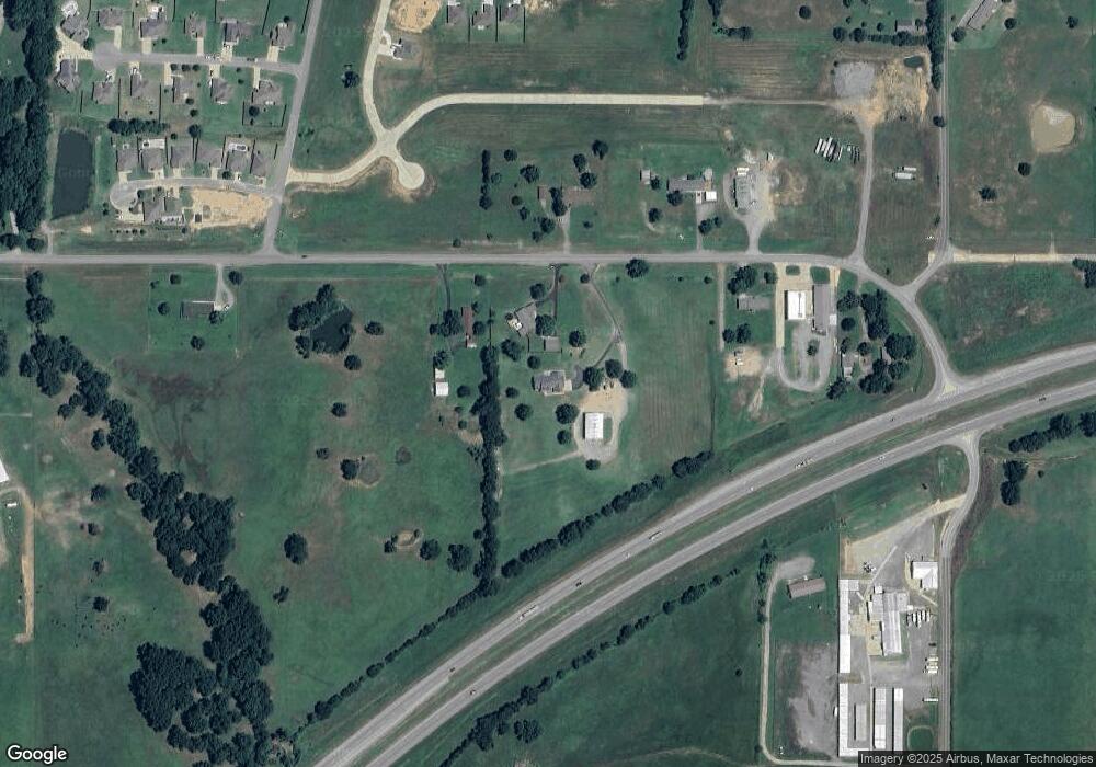
Map
Nearby Homes
- 170 N 2 Mile Rd
- 1412 Dexter St
- 1409 Sterling Ct
- 1412 Richmond Dr
- 607 Sterling Hill Dr
- 1003 E Maple St
- 121 N Meigs St
- 313 S Meigs St
- 1586 Joelle
- 602 Cemetery Rd
- 1580 E Dawson Dr
- 105 N Firecracker Ln
- 1314 Jordan Ln
- 1606 Blue Stem Rd
- 308 N East St
- 301 E Poplar St
- 125 E Walnut St
- 305 E Hickory Ave
- 1100 Hwy 10e
- W 805 Rd
- 1476 E Poplar St
- 1484 E Poplar St
- 1475 E Poplar St
- 1483 E Poplar St
- 1491 E Poplar St
- 1469 Dogwood
- 110 E Poplar St
- 0 Spurlock St Unit 1550573
- 1467 E Poplar St
- 1471 Dogwood Dr
- 1551 E Highway 62
- 1699 E Highway 62
- 1695 E Highway 62
- 1729 E Highway 62
- 1415 E Poplar St
- 1450 E Poplar St
- 1460 Villa Ct
- 1719 E Highway 62
- 1705 E Highway 62