1479 Ellis Highsmith Rd Nahunta, GA 31553
Estimated Value: $166,000 - $181,000
Studio
--
Bath
1,416
Sq Ft
$123/Sq Ft
Est. Value
About This Home
This home is located at 1479 Ellis Highsmith Rd, Nahunta, GA 31553 and is currently estimated at $174,051, approximately $122 per square foot. 1479 Ellis Highsmith Rd is a home with nearby schools including Nahunta Primary School, Nahunta Elementary School, and Brantley County Middle School.
Ownership History
Date
Name
Owned For
Owner Type
Purchase Details
Closed on
Aug 4, 2020
Sold by
Tanner Jessica Highsmith
Bought by
Tanner Jessica Highsmith and Tanner Michael Frank
Current Estimated Value
Home Financials for this Owner
Home Financials are based on the most recent Mortgage that was taken out on this home.
Original Mortgage
$40,000
Interest Rate
3%
Mortgage Type
Commercial
Purchase Details
Closed on
Jan 26, 2011
Sold by
Highsmith Alma J
Bought by
Crews Reba
Create a Home Valuation Report for This Property
The Home Valuation Report is an in-depth analysis detailing your home's value as well as a comparison with similar homes in the area
Purchase History
| Date | Buyer | Sale Price | Title Company |
|---|---|---|---|
| Tanner Jessica Highsmith | -- | -- | |
| Crews Reba | -- | -- | |
| Driggers Lafane | -- | -- | |
| Frye Virginia | -- | -- | |
| Lake Diane | -- | -- | |
| Valdez Joyce | -- | -- | |
| Carter Pauline | -- | -- | |
| Tanner Jessica Highsmith | -- | -- |
Source: Public Records
Mortgage History
| Date | Status | Borrower | Loan Amount |
|---|---|---|---|
| Closed | Tanner Jessica Highsmith | $40,000 |
Source: Public Records
Tax History
| Year | Tax Paid | Tax Assessment Tax Assessment Total Assessment is a certain percentage of the fair market value that is determined by local assessors to be the total taxable value of land and additions on the property. | Land | Improvement |
|---|---|---|---|---|
| 2024 | $1,029 | $54,865 | $19,915 | $34,950 |
| 2023 | $322 | $49,929 | $16,579 | $33,350 |
| 2022 | $959 | $48,929 | $16,579 | $32,350 |
| 2021 | $815 | $32,557 | $16,579 | $15,978 |
| 2020 | $846 | $30,685 | $14,707 | $15,978 |
| 2019 | $842 | $30,685 | $14,707 | $15,978 |
| 2018 | $1,136 | $33,416 | $17,438 | $15,978 |
| 2017 | $1,136 | $33,416 | $17,438 | $15,978 |
| 2016 | $856 | $33,416 | $17,438 | $15,978 |
| 2015 | -- | $33,416 | $17,438 | $15,978 |
Source: Public Records
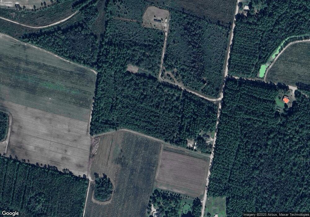
Map
Nearby Homes
- 0 Robin Ln
- 76 Ervin St
- 92 Ervin St
- 154 Avalon St
- 387 Burton St
- 109 Rainge St
- 20.55 ACRES Highway 82
- 7126 U S 301
- 584 Knox St
- 440 Brantley St
- 4561 Buffalo Creek Dr
- 29 Chisholm St
- 0 Riverside Rd Unit 25397127
- 1473 Chesser Ln
- 537 Seward Trail
- 169 Johns Way
- 193 Blackberry Rd
- 4432 Pembers Rd
- 0 Sylvester Dr Unit 10674962
- 0 Sylvester Dr Unit 164381
- 1501 Ellis Highsmith Rd
- 124 Angel Way
- 1375 Ellis Highsmith Rd
- 228 Angel Way
- 1758 Ellis Highsmith Rd
- 1942 Ellis Highsmith Rd
- 174 Mohican Trail
- 2148 Ellis Highsmith Rd
- 175 Mohican Trail
- 255 Eagles Nest Rd
- 75 Mohican Trail
- 199 Eagles Nest Rd
- 448 Eagles Nest Rd
- 228 Eagles Nest Rd
- 107 Eagles Nest Rd
- 139 Forrest Thomas Ln
- 164 Eagles Nest Rd
- 1369 Sears Rd
- 1369 Sears Rd
- 1395 Sears Rd
Your Personal Tour Guide
Ask me questions while you tour the home.