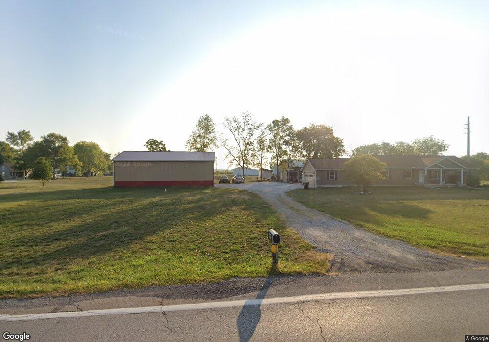
14793 State Route 56 SE Mount Sterling, OH 43143
Estimated Value: $234,000 - $262,000
2
Beds
1
Bath
1,547
Sq Ft
$158/Sq Ft
Est. Value
About This Home
This home is located at 14793 State Route 56 SE, Mount Sterling, OH 43143 and is currently estimated at $243,667, approximately $157 per square foot. 14793 State Route 56 SE is a home located in Madison County with nearby schools including Madison-Plains Elementary School, Madison-Plains Intermediate School, and Madison-Plains Junior High School.
Ownership History
Date
Name
Owned For
Owner Type
Purchase Details
Closed on
Jun 10, 2021
Sold by
Mcmurray Saundra E
Bought by
Vencill Doug R and Vencill Teresa A
Current Estimated Value
Purchase Details
Closed on
Jul 29, 2004
Sold by
Citifinancial Mortgage Co Inc
Bought by
Mcmurray Sandra E
Purchase Details
Closed on
Apr 27, 2004
Sold by
Crawford Joy A
Bought by
Citifinancial Mortgage Co Inc
Create a Home Valuation Report for This Property
The Home Valuation Report is an in-depth analysis detailing your home's value as well as a comparison with similar homes in the area
Home Values in the Area
Average Home Value in this Area
Purchase History
| Date | Buyer | Sale Price | Title Company |
|---|---|---|---|
| Vencill Doug R | $35,724 | None Available | |
| Mcmurray Sandra E | $67,900 | Accutitle Agency | |
| Citifinancial Mortgage Co Inc | $60,000 | Accutitle Agency |
Source: Public Records
Tax History Compared to Growth
Tax History
| Year | Tax Paid | Tax Assessment Tax Assessment Total Assessment is a certain percentage of the fair market value that is determined by local assessors to be the total taxable value of land and additions on the property. | Land | Improvement |
|---|---|---|---|---|
| 2024 | $555 | $15,860 | $2,090 | $13,770 |
| 2023 | $555 | $2,090 | $2,090 | $0 |
| 2022 | $433 | $11,930 | $11,930 | $0 |
| 2021 | $1,324 | $37,460 | $11,930 | $25,530 |
| 2020 | $1,326 | $37,460 | $11,930 | $25,530 |
| 2019 | $996 | $28,960 | $12,370 | $16,590 |
| 2018 | $996 | $28,960 | $12,370 | $16,590 |
| 2017 | $845 | $28,960 | $12,370 | $16,590 |
| 2016 | $845 | $26,110 | $12,370 | $13,740 |
| 2015 | $828 | $26,110 | $12,370 | $13,740 |
| 2014 | $828 | $26,110 | $12,370 | $13,740 |
| 2013 | -- | $28,230 | $12,370 | $15,860 |
Source: Public Records
Map
Nearby Homes
- 94 Jefferson St
- 60 N London St
- 67 W Columbus St
- 110 Mountview Ct
- 230 W Columbus St
- 10741 2nd St
- 500 Wingate Place N
- 16185 State Route 207
- 15561 Blain Rd
- 10495 Anderson Antioch Rd
- 12265 Woods Opossum Run
- 8713 State Route 207
- 0 Renick Rd
- 10586 Baldwin Rd
- 14008 1st St
- 16270 Cook Yankeetown Rd NE
- 13810 Yankeetown Chenoweth Rd
- 0 Rockwell Rd Unit 225016734
- 19763 Clarks Run Rd
- 11444 Kellough Rd
- 14805 State Route 56 SE
- 14690 West St
- 10880 South St
- 10890 South St
- 14720 State Route 56 SE
- 10901 South St
- 14695 West St
- 10910 South St
- 10920 South St
- 14681 State Route 56 SE
- 14685 West St
- 283 N London St
- 350 N London St
- 284 N London St
- 14670 High St
- 14675 West St
- 10938 South St
- 10938 South St
- 10930 South St
- 14660 Ohio 56