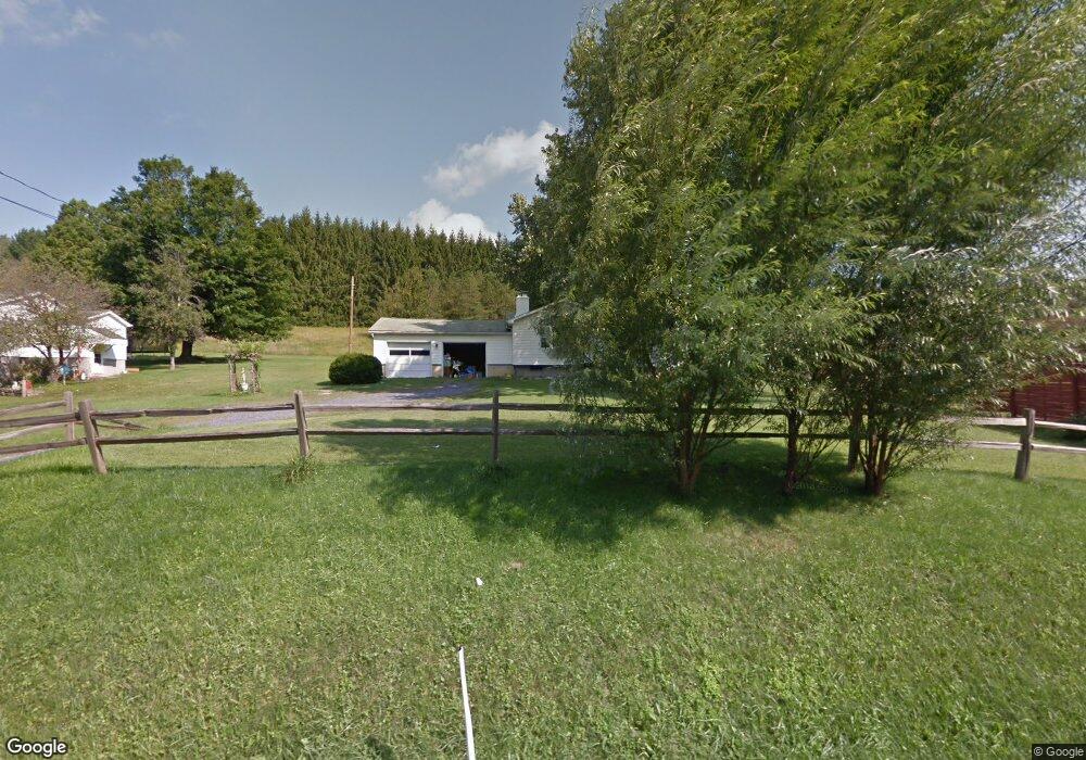
14799 Route 28 Brockway, PA 15824
Estimated Value: $51,000 - $217,000
--
Bed
--
Bath
1,216
Sq Ft
$124/Sq Ft
Est. Value
About This Home
This home is located at 14799 Route 28, Brockway, PA 15824 and is currently estimated at $151,197, approximately $124 per square foot. 14799 Route 28 is a home located in Jefferson County with nearby schools including Brockway Area Elementary School, Brockway Area Junior/Senior High School, and Hillside School.
Ownership History
Date
Name
Owned For
Owner Type
Purchase Details
Closed on
Mar 10, 2022
Sold by
Smith Jason E
Bought by
Freeman Jason M and Freeman Holly M
Current Estimated Value
Purchase Details
Closed on
Jun 24, 2016
Sold by
Curry Barbara J
Bought by
Smith Jason A and Heilbrun Smith Sharon R
Home Financials for this Owner
Home Financials are based on the most recent Mortgage that was taken out on this home.
Original Mortgage
$97,697
Interest Rate
3.37%
Mortgage Type
FHA
Purchase Details
Closed on
Jun 16, 2016
Sold by
Curry Ryan S
Bought by
Smith Jason A and Heilbrun Smith Sharon R
Home Financials for this Owner
Home Financials are based on the most recent Mortgage that was taken out on this home.
Original Mortgage
$97,697
Interest Rate
3.37%
Mortgage Type
FHA
Purchase Details
Closed on
Sep 24, 2009
Sold by
Crandall Sally J and Vavala Paul J
Bought by
Curry Ryan S
Home Financials for this Owner
Home Financials are based on the most recent Mortgage that was taken out on this home.
Original Mortgage
$6,342
Interest Rate
5.14%
Mortgage Type
Unknown
Create a Home Valuation Report for This Property
The Home Valuation Report is an in-depth analysis detailing your home's value as well as a comparison with similar homes in the area
Home Values in the Area
Average Home Value in this Area
Purchase History
| Date | Buyer | Sale Price | Title Company |
|---|---|---|---|
| Freeman Jason M | $39,900 | Key Settlement Services | |
| Smith Jason A | -- | None Available | |
| Smith Jason A | $99,500 | None Available | |
| Curry Ryan S | $86,000 | None Available |
Source: Public Records
Mortgage History
| Date | Status | Borrower | Loan Amount |
|---|---|---|---|
| Previous Owner | Smith Jason A | $97,697 | |
| Previous Owner | Curry Ryan S | $6,342 | |
| Previous Owner | Curry Ryan S | $87,755 |
Source: Public Records
Tax History Compared to Growth
Tax History
| Year | Tax Paid | Tax Assessment Tax Assessment Total Assessment is a certain percentage of the fair market value that is determined by local assessors to be the total taxable value of land and additions on the property. | Land | Improvement |
|---|---|---|---|---|
| 2025 | $1,662 | $42,860 | $5,730 | $37,130 |
| 2024 | $1,948 | $42,860 | $5,730 | $37,130 |
| 2023 | $1,619 | $42,860 | $5,730 | $37,130 |
| 2022 | $1,619 | $42,860 | $5,730 | $37,130 |
| 2021 | $1,619 | $42,860 | $5,730 | $37,130 |
| 2020 | $1,619 | $42,860 | $5,730 | $37,130 |
| 2019 | $1,549 | $42,860 | $5,730 | $37,130 |
| 2018 | $1,509 | $42,860 | $5,730 | $37,130 |
| 2017 | $1,485 | $42,860 | $5,730 | $37,130 |
| 2016 | $1,352 | $42,860 | $5,730 | $37,130 |
| 2015 | -- | $42,860 | $5,730 | $37,130 |
| 2012 | -- | $42,860 | $5,730 | $37,130 |
Source: Public Records
Map
Nearby Homes
- 19 Salandra Ln
- 1074 10th Ave
- 1549 Main St
- 970 Baghdad Rd
- 0 U S 219
- 924 Elm St
- 7956 U S 219
- 425 Zuccolotto Ln
- 5546 Stevenson Hill Rd
- 0 Coal Glen Rd
- 1083 Rattlesnake Rd
- 101 Howard Rd
- 5850 U S 219
- 00 Pennsylvania 830
- 1032 Beechtree Rd
- 3539 Stevenson Hill Rd
- 559 Buskirk Rd
- 725 Russel Rd
- 390 Galliot Ct
- 636 Cap Haitien Rd