148 Caddisfly Way Dalton, GA 30720
Estimated Value: $144,428 - $220,000
--
Bed
2
Baths
1,416
Sq Ft
$129/Sq Ft
Est. Value
About This Home
This home is located at 148 Caddisfly Way, Dalton, GA 30720 and is currently estimated at $182,357, approximately $128 per square foot. 148 Caddisfly Way is a home located in Whitfield County with nearby schools including Dug Gap Elementary School, Valley Point Middle School, and Southeast Whitfield County High School.
Ownership History
Date
Name
Owned For
Owner Type
Purchase Details
Closed on
Oct 5, 2017
Sold by
Caperton Robert W
Bought by
Providence Ministries Inc
Current Estimated Value
Purchase Details
Closed on
Oct 4, 2017
Sold by
Cone Jeanne Carol
Bought by
Caperton Robert W
Purchase Details
Closed on
Oct 3, 2017
Sold by
Barrett Family Partnership Lllp
Bought by
Cone Jeanne Carol and 2008 Roy C Barrett Irrev Tr
Purchase Details
Closed on
Jan 1, 1999
Bought by
Barrett Family Partnership Lllp
Create a Home Valuation Report for This Property
The Home Valuation Report is an in-depth analysis detailing your home's value as well as a comparison with similar homes in the area
Home Values in the Area
Average Home Value in this Area
Purchase History
| Date | Buyer | Sale Price | Title Company |
|---|---|---|---|
| Providence Ministries Inc | -- | -- | |
| Caperton Robert W | -- | -- | |
| Cone Jeanne Carol | -- | -- | |
| Barrett Family Partnership Lllp | -- | -- |
Source: Public Records
Tax History Compared to Growth
Tax History
| Year | Tax Paid | Tax Assessment Tax Assessment Total Assessment is a certain percentage of the fair market value that is determined by local assessors to be the total taxable value of land and additions on the property. | Land | Improvement |
|---|---|---|---|---|
| 2024 | $705 | $31,694 | $4,011 | $27,683 |
| 2023 | $705 | $25,589 | $1,448 | $24,141 |
| 2022 | $686 | $23,251 | $1,448 | $21,803 |
| 2021 | $686 | $23,251 | $1,448 | $21,803 |
| 2020 | $709 | $23,251 | $1,448 | $21,803 |
| 2019 | $721 | $23,251 | $1,448 | $21,803 |
| 2018 | $730 | $23,183 | $1,380 | $21,803 |
| 2017 | $731 | $23,183 | $1,380 | $21,803 |
| 2016 | $643 | $21,210 | $1,380 | $19,830 |
| 2014 | $560 | $20,802 | $971 | $19,830 |
| 2013 | -- | $20,801 | $971 | $19,830 |
Source: Public Records
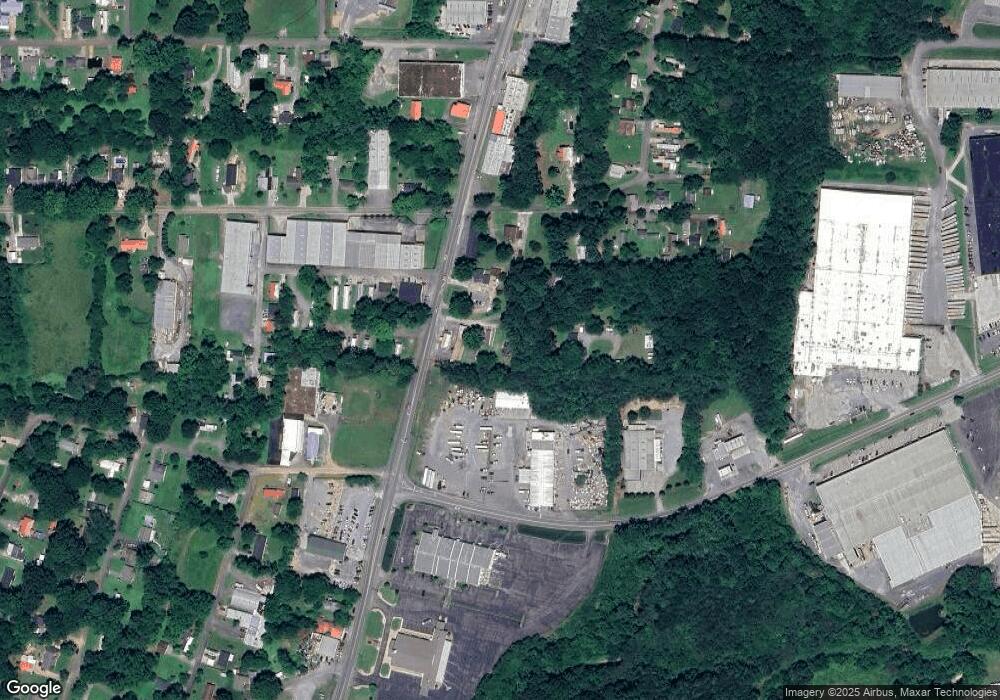
Map
Nearby Homes
- 1815 City View St
- 439 Florence Ave
- 408 Alex Dr
- 3016 E Brookhaven Cir
- 120 Foothill Dr
- 115& 134 Independence Way
- 1632 Rio Vista Dr
- 1411 Red Hill Dr
- 303 Shady Dr
- 0 Vinewood Dr
- 1504 Belmont Dr
- 191 Hanks Bend
- 1922 W Brookhaven Cir
- 1922 W Brookhaven Cir
- 1915 W Brookhaven Cir
- 0 Taylor Dr Unit 130142
- 0 Taylor Dr Unit 130143
- 1230 Valencia Dr
- 1307 Valencia Way
- 157 Caddisfly Way
- 133 Caddisfly Way
- 2103 S Dixie Hwy
- 2008 S Dixie Hwy
- 1943 City View St
- 2106 S Dixie Hwy
- 2101 S Dixie Hwy
- 137 Ireland Dr
- n/a Hwy 41 South & Foster Rd
- 000 Foster Rd
- 100 Thomason Dr
- 98 Thomason Dr
- 102 Foster Rd
- 104 Thomason Dr
- 104 Foster Rd
- 1926 City View St
- 00 Foster Rd
- 106 Thomason Dr
- 100 Waco Dr
- 1930 City View St