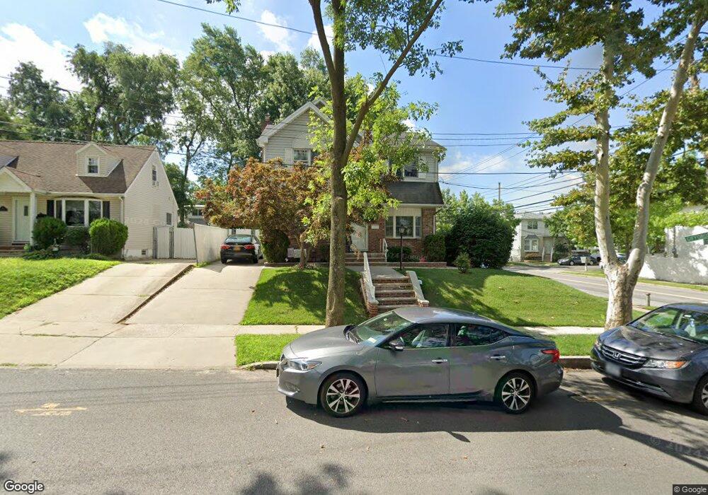
148 Elkhart St Staten Island, NY 10308
Great Kills NeighborhoodEstimated Value: $706,165 - $811,000
--
Bed
4
Baths
1,440
Sq Ft
$518/Sq Ft
Est. Value
About This Home
This home is located at 148 Elkhart St, Staten Island, NY 10308 and is currently estimated at $745,791, approximately $517 per square foot. 148 Elkhart St is a home located in Richmond County with nearby schools including P.S. 32 The Gifford School, I.S. 075 Frank D. Paulo, and Susan E Wagner High School.
Ownership History
Date
Name
Owned For
Owner Type
Purchase Details
Closed on
Aug 3, 2000
Sold by
Mistrulli Frank R and Mistrulli Carol Ann
Bought by
Mcguinness Michael J and Mcguinness Donna M
Current Estimated Value
Home Financials for this Owner
Home Financials are based on the most recent Mortgage that was taken out on this home.
Original Mortgage
$250,000
Outstanding Balance
$89,879
Interest Rate
8.1%
Mortgage Type
Purchase Money Mortgage
Estimated Equity
$655,912
Create a Home Valuation Report for This Property
The Home Valuation Report is an in-depth analysis detailing your home's value as well as a comparison with similar homes in the area
Home Values in the Area
Average Home Value in this Area
Purchase History
| Date | Buyer | Sale Price | Title Company |
|---|---|---|---|
| Mcguinness Michael J | $330,000 | Lawyers Title Insurance Corp |
Source: Public Records
Mortgage History
| Date | Status | Borrower | Loan Amount |
|---|---|---|---|
| Open | Mcguinness Michael J | $250,000 |
Source: Public Records
Tax History Compared to Growth
Tax History
| Year | Tax Paid | Tax Assessment Tax Assessment Total Assessment is a certain percentage of the fair market value that is determined by local assessors to be the total taxable value of land and additions on the property. | Land | Improvement |
|---|---|---|---|---|
| 2025 | $7,372 | $45,120 | $12,287 | $32,833 |
| 2024 | $7,384 | $47,040 | $11,372 | $35,668 |
| 2023 | $7,454 | $38,102 | $10,319 | $27,783 |
| 2022 | $7,011 | $44,160 | $14,040 | $30,120 |
| 2021 | $6,955 | $37,560 | $14,040 | $23,520 |
| 2020 | $6,669 | $36,060 | $14,040 | $22,020 |
| 2019 | $6,349 | $36,960 | $14,040 | $22,920 |
| 2018 | $6,175 | $31,752 | $13,387 | $18,365 |
| 2017 | $5,910 | $30,464 | $13,896 | $16,568 |
| 2016 | $5,436 | $28,740 | $14,040 | $14,700 |
| 2015 | $4,773 | $27,420 | $11,700 | $15,720 |
| 2014 | $4,773 | $26,460 | $11,700 | $14,760 |
Source: Public Records
Map
Nearby Homes
- 132 Elkhart St
- 87 Pemberton Ave
- 420 Arthur Kill Rd
- 62 Daleham St
- 12 Troy St
- 72 Eric Ln
- 12 Lexington Ln
- 466 Doane Ave
- 38 Troy St
- 40 Troy St
- 414 Elverton Ave
- 379 Brookfield Ave
- 52 Barlow Ave
- 160 Tanglewood Dr
- 305 Corbin Ave
- 350 Brookfield Ave
- 47 Jumel St
- 4 Country Woods Ln
- 19 Nutwood Ct
- 43 Country Woods Ln