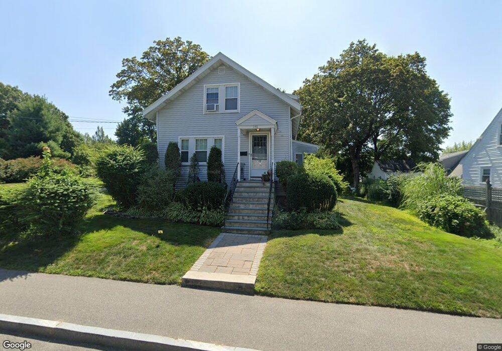
148 Elmlawn Rd Braintree, MA 02184
East Braintree NeighborhoodEstimated Value: $676,000 - $729,000
About This Home
This home is located at 148 Elmlawn Rd, Braintree, MA 02184 and is currently estimated at $697,426, approximately $561 per square foot. 148 Elmlawn Rd is a home located in Norfolk County with nearby schools including Braintree High School, Meeting House Montessori School, and Step Ahead Kindergarten.
Ownership History
We collect this data history from publicly available records. To have your information removed, we recommend requesting removal directly through your county’s website.
Purchase Details
Home Financials for this Owner
Home Financials are based on the most recent Mortgage that was taken out on this home.Home Values in the Area
Average Home Value in this Area
Purchase History
We collect this data history from publicly available records. To have your information removed, we recommend requesting removal directly through your county’s website.
| Date | Buyer | Sale Price | Title Company |
|---|---|---|---|
| $410,000 | -- |
Mortgage History
We collect this data history from publicly available records. To have your information removed, we recommend requesting removal directly through your county’s website.
| Date | Status | Borrower | Loan Amount |
|---|---|---|---|
| Open | $369,000 |
Tax History
We collect this data history from publicly available records. To have your information removed, we recommend requesting removal directly through your county’s website.
| Year | Tax Paid | Tax Assessment Tax Assessment Total Assessment is a certain percentage of the fair market value that is determined by local assessors to be the total taxable value of land and additions on the property. | Land | Improvement |
|---|---|---|---|---|
| 2025 | $6,492 | $650,500 | $406,800 | $243,700 |
| 2024 | $5,779 | $609,600 | $369,400 | $240,200 |
| 2023 | $5,454 | $558,800 | $331,900 | $226,900 |
| 2022 | $5,241 | $526,700 | $299,800 | $226,900 |
| 2021 | $4,822 | $484,600 | $270,900 | $213,700 |
| 2020 | $4,443 | $450,600 | $246,200 | $204,400 |
| 2019 | $4,304 | $426,600 | $235,500 | $191,100 |
| 2018 | $4,186 | $397,200 | $214,100 | $183,100 |
| 2017 | $4,037 | $375,900 | $203,400 | $172,500 |
| 2016 | $3,930 | $357,900 | $192,700 | $165,200 |
| 2015 | $3,540 | $319,800 | $160,600 | $159,200 |
| 2014 | $3,443 | $301,500 | $154,200 | $147,300 |
Map
- 792 Commercial St
- 115 Hawthorn Rd
- 199 Hawthorn Rd
- 9 Independence Ave Unit 205
- 9 Independence Ave Unit 102
- 190-192 Kendrick Ave
- 11 Oak Grove Terrace Unit 303
- 11 Oak Grove Terrace Unit 402
- 30 Church St Unit 12
- 67-69 Penn St
- 21 Spaulding St
- 18 N Payne St
- 27 Cindy Ln
- 30 Skyline Dr Unit 6
- 188 Quincy Ave Unit B1
- 146 Hayward St
- 25 W Howard St Unit G3
- 200 Falls Blvd Unit B208
- 200 Falls Blvd Unit D110
- 37 Skyline Dr Unit 11
Ask me questions while you tour the home.