148 Ferris Ln Reidsville, NC 27320
Estimated Value: $95,000 - $137,000
--
Bed
--
Bath
927
Sq Ft
$122/Sq Ft
Est. Value
About This Home
This home is located at 148 Ferris Ln, Reidsville, NC 27320 and is currently estimated at $112,712, approximately $121 per square foot. 148 Ferris Ln is a home located in Rockingham County with nearby schools including Reidsville High School, Moss Street Elementary, and Reidsville Middle School.
Ownership History
Date
Name
Owned For
Owner Type
Purchase Details
Closed on
Oct 23, 2025
Sold by
Denny Susan Bratton and Denny Philip Wayne
Bought by
Bratton Denny Susan and Bratton Wayne Denny
Current Estimated Value
Purchase Details
Closed on
May 25, 2023
Sold by
Denny Kathee
Bought by
Denny Philip Wayne and Bratton Denny Susan
Purchase Details
Closed on
Sep 15, 2022
Sold by
Gray Denny Sr Thomas and Gray Kathee
Bought by
Denny Kathee
Purchase Details
Closed on
Jan 18, 2011
Sold by
Denny Effie
Bought by
Denny Thomas Gray and Denny Kathee
Create a Home Valuation Report for This Property
The Home Valuation Report is an in-depth analysis detailing your home's value as well as a comparison with similar homes in the area
Home Values in the Area
Average Home Value in this Area
Purchase History
| Date | Buyer | Sale Price | Title Company |
|---|---|---|---|
| Bratton Denny Susan | -- | None Listed On Document | |
| Denny Philip Wayne | -- | None Listed On Document | |
| Denny Kathee | -- | -- | |
| Denny Thomas Gray | -- | None Available |
Source: Public Records
Tax History Compared to Growth
Tax History
| Year | Tax Paid | Tax Assessment Tax Assessment Total Assessment is a certain percentage of the fair market value that is determined by local assessors to be the total taxable value of land and additions on the property. | Land | Improvement |
|---|---|---|---|---|
| 2025 | $507 | $79,118 | $29,224 | $49,894 |
| 2024 | $507 | $79,118 | $29,224 | $49,894 |
| 2023 | $272 | $34,659 | $9,720 | $24,939 |
| 2022 | $272 | $34,659 | $9,720 | $24,939 |
| 2021 | $272 | $34,659 | $9,720 | $24,939 |
| 2020 | $272 | $34,659 | $9,720 | $24,939 |
| 2019 | $272 | $34,659 | $9,720 | $24,939 |
| 2018 | $189 | $24,008 | $18,720 | $5,288 |
| 2017 | $184 | $24,008 | $18,720 | $5,288 |
| 2015 | $186 | $24,008 | $18,720 | $5,288 |
| 2014 | $184 | $24,008 | $18,720 | $5,288 |
Source: Public Records
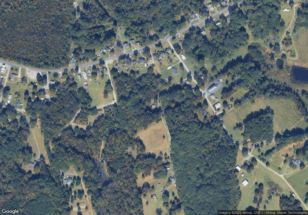
Map
Nearby Homes
- 000 Hwy 158 Hwy
- 0 Us Highway 158 Unit 1133948
- 0 Us Highway 158 Unit 1133951
- 0000 Jewell Rd
- 00 Walker St
- 0 Adams Rd
- 847 Walker St
- 315 Hubbard St
- 802 Lawsonville Ave
- 1401 Walnut St
- 810 Walker St
- 612 Thomas St
- 00 Robinson Cir
- 502 Thomas St
- 1107 Walnut St
- 511 Barnes St
- 515 Barnes St
- 816 Barnes St
- 403 Pennsylvania Ave
- 335 S Branch St
- 00 Reagan St
- 580 Mangum Rd
- 4.36 AC Freeway Dr
- 602 Mangum Rd
- 604 Mangum Rd
- 151 Reagan St
- 1007 Lawsonville Ave
- 1011 Lawsonville Ave
- 1013 Lawsonville Ave
- 1015 Lawsonville Ave
- 1009 Lawsonville Ave
- 1005 Lawsonville Ave
- 1017 Lawsonville Ave
- 614 Mangum Rd
- 1003 Lawsonville Ave
- 603 Mangum Rd
- 157 Reagan St
- 1019 Lawsonville Ave
- 1101 Lawsonville Ave
- 609 Mangum Rd