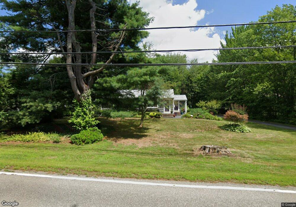
148 Ferry Rd Saco, ME 04072
East Saco NeighborhoodEstimated Value: $438,000 - $499,000
3
Beds
1
Bath
1,056
Sq Ft
$437/Sq Ft
Est. Value
About This Home
This home is located at 148 Ferry Rd, Saco, ME 04072 and is currently estimated at $460,959, approximately $436 per square foot. 148 Ferry Rd is a home located in York County with nearby schools including C K Burns School, Saco Middle School, and Saint James School.
Ownership History
Date
Name
Owned For
Owner Type
Purchase Details
Closed on
Sep 12, 2008
Sold by
Gauthier Robert F
Bought by
Reilly Patrick W and Reilly Suzanne M
Current Estimated Value
Home Financials for this Owner
Home Financials are based on the most recent Mortgage that was taken out on this home.
Original Mortgage
$165,000
Interest Rate
6.58%
Mortgage Type
Purchase Money Mortgage
Create a Home Valuation Report for This Property
The Home Valuation Report is an in-depth analysis detailing your home's value as well as a comparison with similar homes in the area
Home Values in the Area
Average Home Value in this Area
Purchase History
| Date | Buyer | Sale Price | Title Company |
|---|---|---|---|
| Reilly Patrick W | -- | -- |
Source: Public Records
Mortgage History
| Date | Status | Borrower | Loan Amount |
|---|---|---|---|
| Closed | Reilly Patrick W | $162,200 | |
| Closed | Reilly Patrick W | $165,000 | |
| Previous Owner | Reilly Patrick W | $222,300 |
Source: Public Records
Tax History Compared to Growth
Tax History
| Year | Tax Paid | Tax Assessment Tax Assessment Total Assessment is a certain percentage of the fair market value that is determined by local assessors to be the total taxable value of land and additions on the property. | Land | Improvement |
|---|---|---|---|---|
| 2024 | $4,271 | $304,000 | $159,000 | $145,000 |
| 2023 | $4,484 | $304,000 | $159,000 | $145,000 |
| 2022 | $4,146 | $226,200 | $121,200 | $105,000 |
| 2021 | $3,982 | $210,900 | $109,900 | $101,000 |
| 2020 | $3,786 | $192,500 | $98,500 | $94,000 |
| 2019 | $3,731 | $192,500 | $98,500 | $94,000 |
| 2018 | $3,154 | $188,700 | $94,700 | $94,000 |
| 2017 | $2,965 | $179,000 | $86,000 | $93,000 |
| 2016 | $3,562 | $183,400 | $82,700 | $100,700 |
| 2015 | $3,504 | $182,300 | $82,700 | $99,600 |
| 2014 | $3,394 | $182,300 | $82,700 | $99,600 |
| 2013 | $3,387 | $182,300 | $82,700 | $99,600 |
Source: Public Records
Map
Nearby Homes
- 19 Ocean Greens Dr
- 2 Breakwater Way Unit 2
- 1 Pine Ridge Rd
- 26 Ocean Greens Dr
- 15 Thunder Rd
- 38 Pine Ridge Rd
- 4 Mainsail Ln Unit 4
- 29 Old Orchard Rd Unit 10
- 343 Pool St
- 353 Pool St
- 8 Heritage Way Unit 15
- 8 Heritage Way Unit 21
- TBD 530 Ferry Rd
- 18 Heritage Way Unit 14
- 16 Heritage Way Unit 17
- 378 Pool St
- 57 Plymouth Dr
- 162 Beach St Unit 10
- 36 Lafayette St
- 15 Lafayette St
- 154 Ferry Rd
- 145 Ferry Rd
- 2 Richards Way
- 4 Richards Way
- Lot #4 Richard's Way
- 141 Ferry Rd
- 144 Ferry Rd
- 3 Chases Ln
- 147 Ferry Rd
- 0 Richards Way Unit 897965
- 0 Richards Way Lot D Unit 898435
- 0 Richards Way Lot A Unit 898432
- 0 Richards Way Lot A Unit 941835
- 0 Richards Way Lot D Unit 941829
- 137 Ferry Rd
- 140 Ferry Rd
- 6 Richards Way
- Lot 1 End of Ocean Greens Dr
- 121 Ferry Rd
- 5 Stone Pony Cir