148 Fireside Ln Holden, MA 01520
Estimated Value: $644,000 - $695,000
2
Beds
3
Baths
2,558
Sq Ft
$258/Sq Ft
Est. Value
About This Home
This home is located at 148 Fireside Ln, Holden, MA 01520 and is currently estimated at $660,205, approximately $258 per square foot. 148 Fireside Ln is a home located in Worcester County with nearby schools including Wachusett Regional High School, Bancroft School, and Holden Christian Academy.
Ownership History
Date
Name
Owned For
Owner Type
Purchase Details
Closed on
Jun 12, 2019
Sold by
Roeder Ft
Bought by
Jane M Flynn Ret
Current Estimated Value
Purchase Details
Closed on
Sep 4, 2013
Sold by
Roeder Miriam C
Bought by
Roeder Ft and Roeder Harold I
Purchase Details
Closed on
Oct 19, 2007
Sold by
Seasons Dev Corp
Bought by
Roeder David and Roeder Douglas G
Create a Home Valuation Report for This Property
The Home Valuation Report is an in-depth analysis detailing your home's value as well as a comparison with similar homes in the area
Home Values in the Area
Average Home Value in this Area
Purchase History
| Date | Buyer | Sale Price | Title Company |
|---|---|---|---|
| Jane M Flynn Ret | $427,000 | -- | |
| Roeder Ft | -- | -- | |
| Roeder David | $416,931 | -- |
Source: Public Records
Tax History
| Year | Tax Paid | Tax Assessment Tax Assessment Total Assessment is a certain percentage of the fair market value that is determined by local assessors to be the total taxable value of land and additions on the property. | Land | Improvement |
|---|---|---|---|---|
| 2025 | $8,371 | $604,000 | $0 | $604,000 |
| 2024 | $7,955 | $562,200 | $0 | $562,200 |
| 2023 | $7,053 | $470,500 | $0 | $470,500 |
| 2022 | $6,862 | $414,400 | $0 | $414,400 |
| 2021 | $7,005 | $402,600 | $0 | $402,600 |
| 2020 | $6,829 | $401,700 | $0 | $401,700 |
| 2019 | $6,846 | $392,300 | $0 | $392,300 |
| 2018 | $6,581 | $373,700 | $0 | $373,700 |
| 2017 | $6,299 | $358,100 | $0 | $358,100 |
| 2016 | $6,107 | $354,000 | $0 | $354,000 |
| 2015 | $6,074 | $335,200 | $0 | $335,200 |
| 2014 | $5,950 | $335,200 | $0 | $335,200 |
Source: Public Records
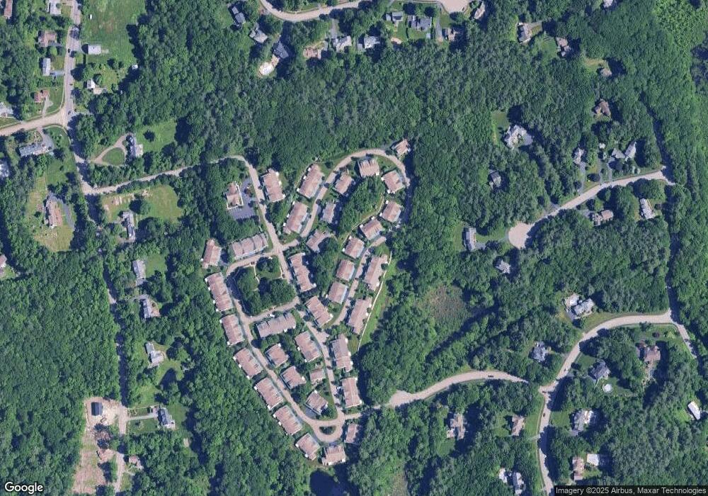
Map
Nearby Homes
- 47 Harvest Cir
- 527 Salisbury St
- 168 Twinbrooke Dr
- 23 Gail Dr
- 131 Twinbrooke Dr
- 289 Bailey Rd
- 0 Chapin Rd
- 8 (Lot 1) Holmes Dr
- 288 Fisher Rd
- 250 Shrewsbury St
- 158 Chester St
- 42 N Worcester Ave
- 4004 Brompton Cir
- 216 Reservoir St Unit 107
- 216 Reservoir St Unit 208
- 216 Reservoir St Unit 202
- 218 Reservoir St Unit 326
- 90 Bjorklund Ave
- 770 Salisbury St Unit 333
- 120 Brattle St
- 150 Fireside Ln
- 150 Fireside Ln Unit 70
- 150 Fireside Ln Unit 150
- 156 Fireside Ln
- 158 Fireside Ln
- 158 Fireside Ln Unit 68
- 156 Fireside Ln Unit 69
- 156 Fireside Ln Unit 156
- 144 Fireside Ln
- 146 Fireside Ln
- 147 Fireside Ln
- 149 Fireside Ln
- 151 Fireside Ln
- 151 Fireside Ln Unit 56
- 147 Fireside Ln Unit 58
- 149 Fireside Ln Unit 57
- 102 Fireside Ln
- 104 Fireside Ln
- 110 Fireside Ln
- 112 Fireside Ln
Your Personal Tour Guide
Ask me questions while you tour the home.