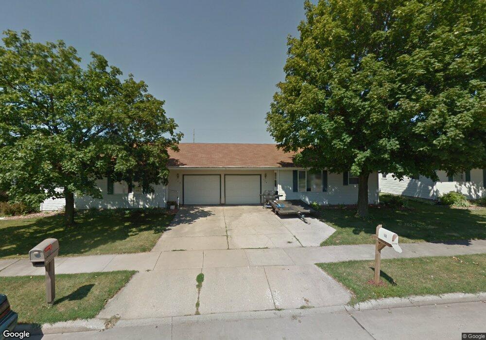
148 Frances St Kaukauna, WI 54130
Estimated Value: $301,074 - $342,000
4
Beds
2
Baths
2,186
Sq Ft
$145/Sq Ft
Est. Value
About This Home
This home is located at 148 Frances St, Kaukauna, WI 54130 and is currently estimated at $316,769, approximately $144 per square foot. 148 Frances St is a home located in Outagamie County with nearby schools including River View School, Kaukauna High School, and New Directions Learning Community.
Ownership History
Date
Name
Owned For
Owner Type
Purchase Details
Closed on
Dec 15, 2023
Sold by
Mischler Holdings Llc
Bought by
Jl Investments Group Inc
Current Estimated Value
Purchase Details
Closed on
Feb 23, 2005
Sold by
Nicklaus Christopher R and Nicklaus Brande L
Bought by
Mischler Holdings Llc
Create a Home Valuation Report for This Property
The Home Valuation Report is an in-depth analysis detailing your home's value as well as a comparison with similar homes in the area
Home Values in the Area
Average Home Value in this Area
Purchase History
| Date | Buyer | Sale Price | Title Company |
|---|---|---|---|
| Jl Investments Group Inc | $276,000 | First American Title Insurance | |
| Mischler Holdings Llc | $137,900 | -- |
Source: Public Records
Tax History Compared to Growth
Tax History
| Year | Tax Paid | Tax Assessment Tax Assessment Total Assessment is a certain percentage of the fair market value that is determined by local assessors to be the total taxable value of land and additions on the property. | Land | Improvement |
|---|---|---|---|---|
| 2023 | $3,925 | $186,800 | $26,900 | $159,900 |
| 2022 | $3,465 | $186,800 | $26,900 | $159,900 |
| 2021 | $3,314 | $186,800 | $26,900 | $159,900 |
| 2020 | $3,299 | $143,400 | $20,600 | $122,800 |
| 2019 | $3,316 | $143,400 | $20,600 | $122,800 |
| 2018 | $3,320 | $143,400 | $20,600 | $122,800 |
| 2017 | $3,286 | $143,400 | $20,600 | $122,800 |
| 2016 | $3,135 | $143,400 | $20,600 | $122,800 |
| 2015 | $3,697 | $143,400 | $20,600 | $122,800 |
| 2014 | $3,456 | $143,400 | $20,600 | $122,800 |
| 2013 | $3,521 | $143,400 | $20,600 | $122,800 |
Source: Public Records
Map
Nearby Homes
- 3005 Crooks Ave
- 2200 Sullivan Ave
- 406 E 20th St
- 405 E 17th St
- 213 E 17th St
- 216 E 17th St
- 304 E 17th St
- 708 Westfield St
- 1207 Saunders Rd
- 1601 Main Ave
- 1401 Main Ave
- N176 Debruin Rd
- 417 W 11th St
- 123 W 10th St
- 227 E 10th St
- 213 Fairway St
- 909 Boyd Ave
- 24 Woodhaven Ln
- 3351 Gray Squirrel Ln
- 1031 Melrose Ct