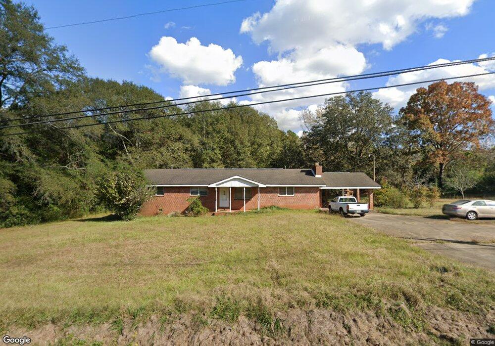
148 Hill Rd Lagrange, GA 30240
Estimated Value: $215,027 - $251,000
3
Beds
2
Baths
1,701
Sq Ft
$136/Sq Ft
Est. Value
About This Home
This home is located at 148 Hill Rd, Lagrange, GA 30240 and is currently estimated at $230,757, approximately $135 per square foot. 148 Hill Rd is a home located in Troup County with nearby schools including Berta Weathersbee Elementary School, Long Cane Elementary School, and Whitesville Road Elementary School.
Ownership History
Date
Name
Owned For
Owner Type
Purchase Details
Closed on
May 31, 1996
Sold by
James Edward Bailey
Bought by
Melissa H Smith
Current Estimated Value
Purchase Details
Closed on
May 5, 1993
Sold by
Loette F Hill
Bought by
James Edward Bailey
Purchase Details
Closed on
Jan 28, 1991
Sold by
Hill John
Bought by
Loette F Hill
Purchase Details
Closed on
Jan 1, 1954
Sold by
Darden H R
Bought by
Hill John
Create a Home Valuation Report for This Property
The Home Valuation Report is an in-depth analysis detailing your home's value as well as a comparison with similar homes in the area
Purchase History
| Date | Buyer | Sale Price | Title Company |
|---|---|---|---|
| Melissa H Smith | $72,000 | -- | |
| James Edward Bailey | $72,000 | -- | |
| Loette F Hill | -- | -- | |
| Hill John | -- | -- |
Source: Public Records
Tax History
| Year | Tax Paid | Tax Assessment Tax Assessment Total Assessment is a certain percentage of the fair market value that is determined by local assessors to be the total taxable value of land and additions on the property. | Land | Improvement |
|---|---|---|---|---|
| 2025 | $1,700 | $67,200 | $10,640 | $56,560 |
| 2024 | $1,558 | $59,120 | $10,640 | $48,480 |
| 2023 | $1,046 | $58,240 | $10,640 | $47,600 |
| 2022 | $1,509 | $56,040 | $10,640 | $45,400 |
| 2021 | $1,274 | $44,240 | $8,880 | $35,360 |
| 2020 | $1,274 | $44,240 | $8,880 | $35,360 |
| 2019 | $1,026 | $35,992 | $6,752 | $29,240 |
| 2018 | $982 | $34,552 | $6,752 | $27,800 |
| 2017 | $982 | $34,552 | $6,752 | $27,800 |
| 2016 | $950 | $33,497 | $6,752 | $26,745 |
| 2015 | $952 | $33,497 | $6,752 | $26,745 |
| 2014 | $909 | $32,011 | $6,752 | $25,259 |
| 2013 | -- | $33,637 | $6,752 | $26,885 |
Source: Public Records
Map
Nearby Homes
- 112 Foxdale Dr
- 245 Teaver Rd
- 98 Hearn Rd
- 402 Ginger Cir
- 427 Fling Rd
- 0 Glass Bridge Rd Unit 10679358
- 808 S Fling Rd
- 8 Horace Carter Rd
- 53 Horace Carter Rd
- 129 Angela East Dr
- 4.5 ACRES Whatley Rd N
- 0 Deming St Unit 10550189
- 0 Salem Rd Tract 2 Unit 10675187
- 0 Bradfield Dr Unit 10568803
- 640 Hudson Rd
- 288 Bradfield Dr
- 2239 Pegasus Pkwy
- 709 Vernon Ferry Rd
- 112 Brookwood Dr
- 311 Cumberland Dr
Your Personal Tour Guide
Ask me questions while you tour the home.