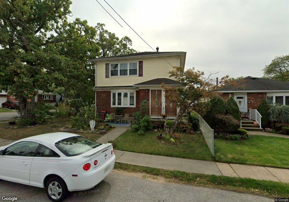
148 Howton Ave Staten Island, NY 10308
Great Kills NeighborhoodEstimated Value: $907,495 - $1,008,000
--
Bed
--
Bath
2,176
Sq Ft
$448/Sq Ft
Est. Value
About This Home
This home is located at 148 Howton Ave, Staten Island, NY 10308 and is currently estimated at $974,874, approximately $448 per square foot. 148 Howton Ave is a home located in Richmond County with nearby schools including P.S. 32 The Gifford School, Myra S. Barnes Intermediate School 24, and Susan E Wagner High School.
Ownership History
Date
Name
Owned For
Owner Type
Purchase Details
Closed on
Jul 2, 2024
Sold by
Waldron Michael and Waldron Margaret
Bought by
Waldron Preservation Trust and Garbarino
Current Estimated Value
Purchase Details
Closed on
Jan 21, 2000
Sold by
Waldron Philip J
Bought by
Waldron Michael and Waldron Margaret
Purchase Details
Closed on
Dec 18, 1996
Sold by
Waldron Michael and Waldron Margaret
Bought by
Waldron Philip J
Create a Home Valuation Report for This Property
The Home Valuation Report is an in-depth analysis detailing your home's value as well as a comparison with similar homes in the area
Home Values in the Area
Average Home Value in this Area
Purchase History
| Date | Buyer | Sale Price | Title Company |
|---|---|---|---|
| Waldron Preservation Trust | -- | Ridge Abstract | |
| Waldron Michael | -- | -- | |
| Waldron Philip J | -- | -- |
Source: Public Records
Tax History Compared to Growth
Tax History
| Year | Tax Paid | Tax Assessment Tax Assessment Total Assessment is a certain percentage of the fair market value that is determined by local assessors to be the total taxable value of land and additions on the property. | Land | Improvement |
|---|---|---|---|---|
| 2025 | $9,007 | $60,420 | $11,706 | $48,714 |
| 2024 | $9,007 | $64,500 | $10,345 | $54,155 |
| 2023 | $9,055 | $44,587 | $10,948 | $33,639 |
| 2022 | $8,583 | $54,420 | $14,880 | $39,540 |
| 2021 | $8,836 | $48,480 | $14,880 | $33,600 |
| 2020 | $8,384 | $48,420 | $14,880 | $33,540 |
| 2019 | $7,817 | $49,440 | $14,880 | $34,560 |
| 2018 | $7,574 | $37,156 | $12,030 | $25,126 |
| 2017 | $7,304 | $35,830 | $14,172 | $21,658 |
| 2016 | $6,994 | $34,988 | $14,462 | $20,526 |
| 2015 | $5,976 | $33,008 | $12,115 | $20,893 |
| 2014 | $5,976 | $31,140 | $12,420 | $18,720 |
Source: Public Records
Map
Nearby Homes
- 17 Greaves Ct
- 157 Exeter St
- 98 Kennington St
- 132 Dewey Ave
- 59 Gibson Ave
- 66 Gibson Ave
- 171 Dewey Ave
- 168 Leverett Ave
- 47 Jumel St
- 52 Barlow Ave
- 42 Greaves Ave
- 83 Katan Ave
- 181 Evergreen St
- 106 Redwood Ave
- 46 Meadow Ln Unit B13
- 29 Ashwood Ct
- 52 Timber Ridge Dr Unit 52
- 200 Giffords Ln
- 20 Meadow Ln
- 34 Stern Ct
- 144 Howton Ave
- 151 Gibson Ave
- 143 Gibson Ave
- 136 Howton Ave
- 169 Greaves Ave
- 165 Greaves Ave
- 139 Gibson Ave
- 173 Greaves Ave
- 180 Greaves Ave
- 147 Howton Ave
- 161 Greaves Ave
- 143 Howton Ave
- 177 Greaves Ave
- 132 Howton Ave
- 135 Gibson Ave
- 157 Greaves Ave
- 139 Howton Ave
- 183 Greaves Ave
- 153 Greaves Ave
- 135 Howton Ave