148 Loring Ln Pownal, ME 04069
Estimated Value: $438,622 - $567,000
--
Bed
--
Bath
1,404
Sq Ft
$356/Sq Ft
Est. Value
About This Home
This home is located at 148 Loring Ln, Pownal, ME 04069 and is currently estimated at $500,156, approximately $356 per square foot. 148 Loring Ln is a home with nearby schools including Freeport High School.
Create a Home Valuation Report for This Property
The Home Valuation Report is an in-depth analysis detailing your home's value as well as a comparison with similar homes in the area
Home Values in the Area
Average Home Value in this Area
Tax History Compared to Growth
Tax History
| Year | Tax Paid | Tax Assessment Tax Assessment Total Assessment is a certain percentage of the fair market value that is determined by local assessors to be the total taxable value of land and additions on the property. | Land | Improvement |
|---|---|---|---|---|
| 2024 | $4,277 | $251,600 | $84,000 | $167,600 |
| 2023 | $3,955 | $209,800 | $70,000 | $139,800 |
| 2022 | $3,776 | $209,800 | $70,000 | $139,800 |
| 2021 | $3,776 | $209,800 | $70,000 | $139,800 |
| 2020 | $3,776 | $209,800 | $70,000 | $139,800 |
| 2019 | $3,839 | $209,800 | $70,000 | $139,800 |
| 2018 | $3,776 | $209,800 | $70,000 | $139,800 |
| 2017 | $3,619 | $209,800 | $70,000 | $139,800 |
| 2016 | $3,462 | $209,800 | $70,000 | $139,800 |
| 2015 | $3,716 | $110,100 | $18,900 | $91,200 |
| 2014 | $3,798 | $110,100 | $18,900 | $91,200 |
| 2013 | $3,826 | $110,100 | $18,900 | $91,200 |
Source: Public Records
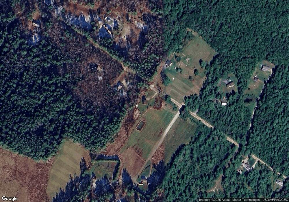
Map
Nearby Homes
- 238 Hallowell Rd
- 118 Royal Rd
- 162 Merrill Rd
- 890 Elmwood Rd
- 395 New Gloucester Rd
- 0 New Gloucester Rd
- 026-01 Dow Ln
- 4 Harper's Trail
- 244 Allen Rd
- 304 Pownal Rd
- 284 Allen Rd
- 247 Ledge Rd
- 79 Birchwood Terrace
- 31 Sequoia Dr
- 15 Sequoia Dr
- 53 Ridgewood Ln
- 37 Ridgewood Ln
- 160 Memorial Hwy
- 118 Lufkin Rd
- 8 Statler Ln