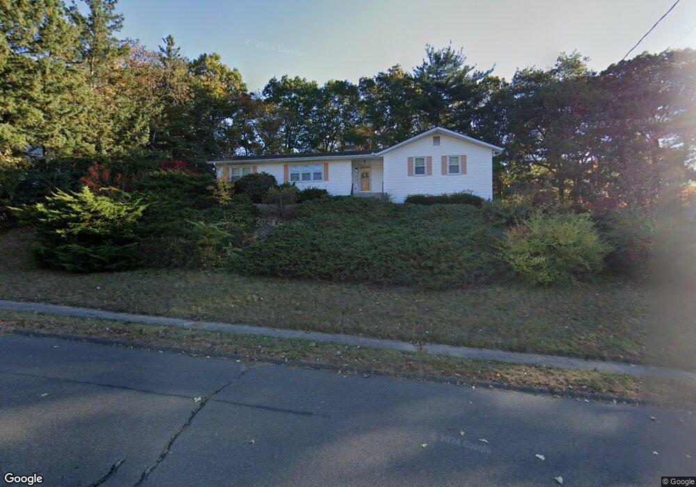
148 Mcintosh Dr Bristol, CT 06010
North Bristol NeighborhoodEstimated Value: $470,000 - $542,000
4
Beds
4
Baths
2,568
Sq Ft
$199/Sq Ft
Est. Value
About This Home
This home is located at 148 Mcintosh Dr, Bristol, CT 06010 and is currently estimated at $511,166, approximately $199 per square foot. 148 Mcintosh Dr is a home located in Hartford County with nearby schools including West Bristol Sch, Bristol Central High School, and St. Joseph School.
Ownership History
Date
Name
Owned For
Owner Type
Purchase Details
Closed on
Nov 25, 2024
Sold by
Athorn James J and Athorn Christopher
Bought by
Athorn Lt and Athorn
Current Estimated Value
Purchase Details
Closed on
Jun 21, 2017
Sold by
Athorn James J and Athorn Christine
Bought by
Athorn James J
Purchase Details
Closed on
Nov 30, 1979
Bought by
Athorn James J and Athorn Christine
Create a Home Valuation Report for This Property
The Home Valuation Report is an in-depth analysis detailing your home's value as well as a comparison with similar homes in the area
Home Values in the Area
Average Home Value in this Area
Purchase History
| Date | Buyer | Sale Price | Title Company |
|---|---|---|---|
| Athorn Lt | -- | None Available | |
| Athorn Lt | -- | None Available | |
| Athorn James J | -- | -- | |
| Athorn James J | -- | -- | |
| Athorn James J | -- | -- |
Source: Public Records
Mortgage History
| Date | Status | Borrower | Loan Amount |
|---|---|---|---|
| Previous Owner | Athorn James J | $80,439 | |
| Previous Owner | Athorn James J | $147,445 | |
| Previous Owner | Athorn James J | $170,000 |
Source: Public Records
Tax History
| Year | Tax Paid | Tax Assessment Tax Assessment Total Assessment is a certain percentage of the fair market value that is determined by local assessors to be the total taxable value of land and additions on the property. | Land | Improvement |
|---|---|---|---|---|
| 2025 | $9,065 | $268,590 | $54,390 | $214,200 |
| 2024 | $8,477 | $266,140 | $54,390 | $211,750 |
| 2023 | $8,077 | $266,140 | $54,390 | $211,750 |
| 2022 | $7,235 | $188,650 | $42,490 | $146,160 |
| 2021 | $7,235 | $188,650 | $42,490 | $146,160 |
| 2020 | $7,235 | $188,650 | $42,490 | $146,160 |
| 2019 | $7,178 | $188,650 | $42,490 | $146,160 |
| 2018 | $6,957 | $188,650 | $42,490 | $146,160 |
| 2017 | $6,673 | $185,220 | $57,820 | $127,400 |
| 2016 | $6,673 | $185,220 | $57,820 | $127,400 |
| 2015 | $6,410 | $185,220 | $57,820 | $127,400 |
| 2014 | $6,410 | $185,220 | $57,820 | $127,400 |
Source: Public Records
Map
Nearby Homes
- 62 (Lot 13-1) James P Casey Rd
- 351 Glendale Dr
- 0 Hart St Unit 170255530
- 114 El Toro Dr
- 439 James P Casey Rd
- 83 Robin St
- 35 James P Casey Rd
- 32 Lardner Rd
- 454 Maple Ave
- 205 Perkins St
- 380 Burlington Ave
- 88 N Pond St
- 395 Fern Hill Rd
- 354 Maple Ave
- 127 Curtiss St
- 4 Southdown Dr
- 40 Matthews St Unit 30
- 6 Sand Hill Rd
- 41 Pardee St
- 60 Nutmeg Rd
- 134 Mcintosh Dr
- 160 Mcintosh Dr
- 159 Mcintosh Dr
- 143 Mcintosh Dr
- 176 Mcintosh Dr
- 47 Peach Tree Ln
- 65 Peach Tree Ln
- 175 Mcintosh Dr
- 127 Mcintosh Dr
- 118 Mcintosh Dr
- 37 Peach Tree Ln
- 83 Peach Tree Ln
- 370 Baldwin Dr
- 398 Baldwin Dr
- 382 Baldwin Dr
- 60 Peach Tree Ln
- 115 Mcintosh Dr
- 86 Elberta St
- 84 Peach Tree Ln
- 30 Peach Tree Ln
Your Personal Tour Guide
Ask me questions while you tour the home.