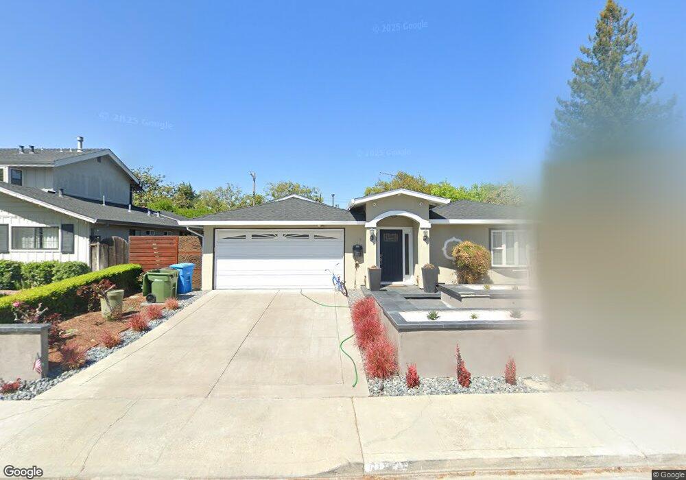
148 Michael Way Santa Clara, CA 95051
Pruneridge NeighborhoodEstimated Value: $2,577,385 - $2,923,000
3
Beds
2
Baths
1,324
Sq Ft
$2,058/Sq Ft
Est. Value
About This Home
This home is located at 148 Michael Way, Santa Clara, CA 95051 and is currently estimated at $2,724,596, approximately $2,057 per square foot. 148 Michael Way is a home located in Santa Clara County with nearby schools including Dwight D. Eisenhower Elementary School, Warren E. Hyde Middle School, and Cupertino High School.
Ownership History
Date
Name
Owned For
Owner Type
Purchase Details
Closed on
Jul 24, 2013
Sold by
Ng Yanpeng and Yu Katherine
Bought by
Ng Yanpeng and Yu Katherine
Current Estimated Value
Purchase Details
Closed on
Sep 9, 1998
Sold by
Stefa Kalnins
Bought by
Ng Yanpeng and Yu Katherine Pikchei
Home Financials for this Owner
Home Financials are based on the most recent Mortgage that was taken out on this home.
Original Mortgage
$284,000
Outstanding Balance
$60,614
Interest Rate
6.89%
Estimated Equity
$2,663,982
Purchase Details
Closed on
Mar 28, 1994
Sold by
Kalnins Stefa
Bought by
Kalnins Stefa
Create a Home Valuation Report for This Property
The Home Valuation Report is an in-depth analysis detailing your home's value as well as a comparison with similar homes in the area
Home Values in the Area
Average Home Value in this Area
Purchase History
| Date | Buyer | Sale Price | Title Company |
|---|---|---|---|
| Ng Yanpeng | -- | None Available | |
| Ng Yanpeng | $355,000 | Old Republic Title Company | |
| Kalnins Stefa | -- | -- |
Source: Public Records
Mortgage History
| Date | Status | Borrower | Loan Amount |
|---|---|---|---|
| Open | Ng Yanpeng | $284,000 | |
| Closed | Ng Yanpeng | $53,250 |
Source: Public Records
Tax History
| Year | Tax Paid | Tax Assessment Tax Assessment Total Assessment is a certain percentage of the fair market value that is determined by local assessors to be the total taxable value of land and additions on the property. | Land | Improvement |
|---|---|---|---|---|
| 2025 | $8,145 | $707,304 | $352,727 | $354,577 |
| 2024 | $8,145 | $693,436 | $345,811 | $347,625 |
| 2023 | $8,084 | $679,840 | $339,031 | $340,809 |
| 2022 | $8,168 | $666,511 | $332,384 | $334,127 |
| 2021 | $8,090 | $653,443 | $325,867 | $327,576 |
| 2020 | $8,016 | $646,744 | $322,526 | $324,218 |
| 2019 | $7,909 | $634,063 | $316,202 | $317,861 |
| 2018 | $7,731 | $621,631 | $310,002 | $311,629 |
| 2017 | $7,701 | $609,443 | $303,924 | $305,519 |
| 2016 | $7,001 | $557,818 | $297,965 | $259,853 |
| 2015 | $6,680 | $525,486 | $293,490 | $231,996 |
| 2014 | $6,502 | $515,193 | $287,741 | $227,452 |
Source: Public Records
Map
Nearby Homes
- 141 Muir Ave
- 216 Rodonovan Dr
- 3329 Mauricia Ave
- 3453 Geneva Dr
- 373 Dayton Ave
- 4650 Corrida Cir
- 587 Cambridge Dr
- 5047 Lapa Dr
- 5011 Lapa Dr
- 4748 Lago Vista Cir
- 4774 Rio Rita Way
- 4792 Lago Vista Cir
- 496 Bevans Dr
- 328 Greendale Way
- 2955 Gala Ct
- 534 Wagman Dr
- 544 Crimsonberry Way
- 410 Auburn Way Unit 42
- 410 Auburn Way Unit 19
- 460 Auburn Way Unit 5
- 138 Michael Way
- 168 Michael Way
- 128 Michael Way
- 155 Rodonovan Dr
- 145 Rodonovan Dr
- 165 Rodonovan Dr
- 149 Michael Way
- 159 Michael Way
- 139 Michael Way
- 178 Michael Way
- 118 Michael Way
- 135 Rodonovan Dr
- 129 Michael Way
- 169 Michael Way
- 175 Rodonovan Dr
- 179 Michael Way
- 125 Rodonovan Dr
- 188 Michael Way
- 108 Michael Way
- 156 Muir Ave
Your Personal Tour Guide
Ask me questions while you tour the home.