Estimated Value: $894,000 - $1,191,000
3
Beds
3
Baths
1,876
Sq Ft
$536/Sq Ft
Est. Value
About This Home
This home is located at 148 Orchard Point Dr, Weems, VA 22576 and is currently estimated at $1,005,396, approximately $535 per square foot. 148 Orchard Point Dr is a home located in Lancaster County with nearby schools including Lancaster Primary School, Lancaster Middle School, and Lancaster High School.
Ownership History
Date
Name
Owned For
Owner Type
Purchase Details
Closed on
May 6, 2016
Sold by
Brandley Henry Chad and Bradley Amy Ford
Bought by
Goodwin Paul F and Goodwin Barbara K
Current Estimated Value
Home Financials for this Owner
Home Financials are based on the most recent Mortgage that was taken out on this home.
Original Mortgage
$442,750
Outstanding Balance
$348,770
Interest Rate
3.59%
Mortgage Type
New Conventional
Estimated Equity
$656,626
Create a Home Valuation Report for This Property
The Home Valuation Report is an in-depth analysis detailing your home's value as well as a comparison with similar homes in the area
Purchase History
| Date | Buyer | Sale Price | Title Company |
|---|---|---|---|
| Goodwin Paul F | $528,000 | Attorney |
Source: Public Records
Mortgage History
| Date | Status | Borrower | Loan Amount |
|---|---|---|---|
| Open | Goodwin Paul F | $442,750 |
Source: Public Records
Tax History
| Year | Tax Paid | Tax Assessment Tax Assessment Total Assessment is a certain percentage of the fair market value that is determined by local assessors to be the total taxable value of land and additions on the property. | Land | Improvement |
|---|---|---|---|---|
| 2025 | $4,084 | $742,500 | $377,100 | $365,400 |
| 2024 | $4,084 | $742,500 | $377,100 | $365,400 |
| 2023 | $3,929 | $623,700 | $352,100 | $271,600 |
| 2022 | $3,929 | $623,700 | $352,100 | $271,600 |
| 2021 | $3,929 | $623,700 | $352,100 | $271,600 |
| 2020 | $3,929 | $623,700 | $352,100 | $271,600 |
| 2019 | $3,929 | $623,700 | $352,100 | $271,600 |
| 2018 | $2,634 | $446,400 | $289,500 | $156,900 |
| 2017 | $2,634 | $446,400 | $289,500 | $156,900 |
| 2016 | -- | $446,400 | $289,500 | $156,900 |
| 2014 | -- | $0 | $0 | $0 |
| 2013 | -- | $0 | $0 | $0 |
Source: Public Records
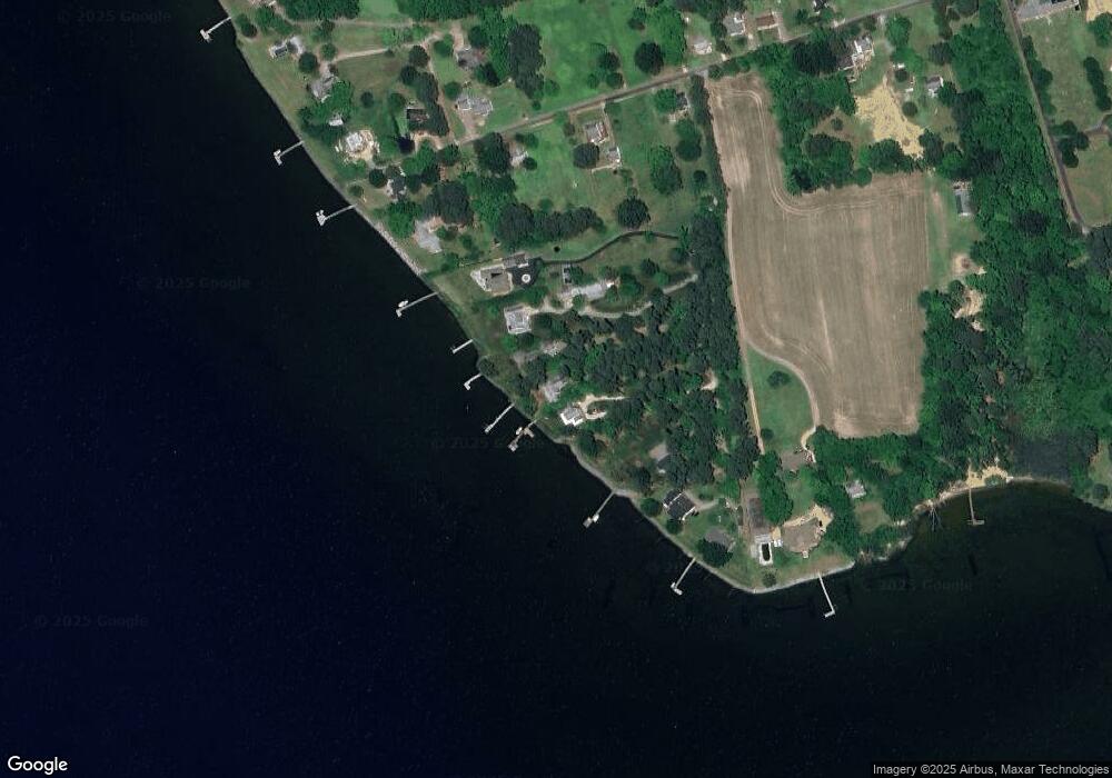
Map
Nearby Homes
- Map 3324C Sunset Dr
- 3755 Weems Rd
- 19 Wharton Grove Ln
- 19 James Ln
- 4 River Village Dr
- 12 Benson Rd
- Lot 16 Cedar Pointe Dr
- 660 Johns Neck Rd
- 0 Yopps Cove Rd
- 783 King Carter Dr
- 212 Gordon Dr
- 108 Spindrift Rd
- 924 Indiantown Rd
- 44 Muirfield Ct
- 370 King Carter Dr
- TM27223C York Rd
- 50 Cedardale Ln
- 48 Steamboat Rd
- 147 Sir Guy Dr
- 161 Dandelion Dr
- 172 Orchard Point Dr
- 132 Orchard Point Dr
- 114 Orchard Point Dr
- 204 Orchard Point Dr
- 90 Orchard Point Dr
- 222 Orchard Point Dr
- 000 Orchard Point Dr
- 311 Sunset Dr
- 224 Orchard Point Dr
- 260 Sandy Dr
- 267 Sunset Dr
- 339 Sunset Dr
- 225 Sunset Dr
- 0000 Sunset Dr
- 261 Sandy Dr
- 280 Sunset Dr
- 316 Sunset Dr
- 177 Sunset Dr
- 223 Sandy Ln
- 223 Sandy Dr
Your Personal Tour Guide
Ask me questions while you tour the home.