148 Rugg Brook Rd Winsted, CT 06098
Estimated Value: $409,995 - $600,000
4
Beds
2
Baths
2,280
Sq Ft
$203/Sq Ft
Est. Value
About This Home
This home is located at 148 Rugg Brook Rd, Winsted, CT 06098 and is currently estimated at $462,499, approximately $202 per square foot. 148 Rugg Brook Rd is a home located in Litchfield County.
Ownership History
Date
Name
Owned For
Owner Type
Purchase Details
Closed on
Oct 7, 2013
Sold by
Stenman Maureen L Est and Reginatto
Bought by
Stenman Jon R and Stenman Pamela J
Current Estimated Value
Home Financials for this Owner
Home Financials are based on the most recent Mortgage that was taken out on this home.
Original Mortgage
$120,000
Outstanding Balance
$90,555
Interest Rate
4.61%
Estimated Equity
$371,944
Create a Home Valuation Report for This Property
The Home Valuation Report is an in-depth analysis detailing your home's value as well as a comparison with similar homes in the area
Home Values in the Area
Average Home Value in this Area
Purchase History
| Date | Buyer | Sale Price | Title Company |
|---|---|---|---|
| Stenman Jon R | $180,000 | -- | |
| Stenman Jon R | $180,000 | -- |
Source: Public Records
Mortgage History
| Date | Status | Borrower | Loan Amount |
|---|---|---|---|
| Open | Stenman Jon R | $120,000 | |
| Closed | Stenman Jon R | $120,000 |
Source: Public Records
Tax History Compared to Growth
Tax History
| Year | Tax Paid | Tax Assessment Tax Assessment Total Assessment is a certain percentage of the fair market value that is determined by local assessors to be the total taxable value of land and additions on the property. | Land | Improvement |
|---|---|---|---|---|
| 2025 | $6,271 | $214,970 | $53,550 | $161,420 |
| 2024 | $5,856 | $214,970 | $53,550 | $161,420 |
| 2023 | $5,673 | $214,970 | $53,550 | $161,420 |
| 2022 | $5,062 | $150,920 | $39,970 | $110,950 |
| 2021 | $5,062 | $150,920 | $39,970 | $110,950 |
| 2020 | $5,062 | $150,920 | $39,970 | $110,950 |
| 2019 | $5,062 | $150,920 | $39,970 | $110,950 |
| 2018 | $5,062 | $150,920 | $39,970 | $110,950 |
| 2017 | $5,034 | $150,080 | $38,780 | $111,300 |
| 2016 | $5,034 | $150,080 | $38,780 | $111,300 |
| 2015 | $4,908 | $150,080 | $38,780 | $111,300 |
| 2014 | $4,789 | $150,080 | $38,780 | $111,300 |
Source: Public Records
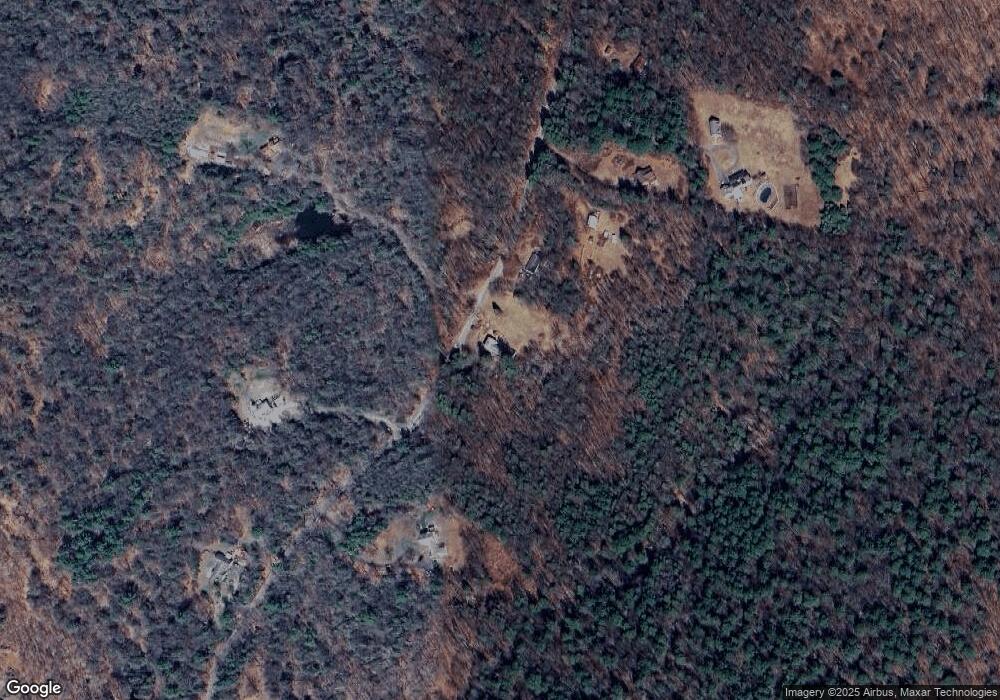
Map
Nearby Homes
- 393 Winchester Rd
- 000000 Norfolk Rd
- 148 Danbury Quarter Rd
- 119 W Wakefield Blvd
- 32 Norfolk Rd
- 00 Chapel Rd
- 73 Norfolk Rd
- 431 W Wakefield Blvd
- 256 Colebrook Rd
- 77 Hubbard St
- 99 Hubbard St
- 156 Lincoln Ave
- 440 Platt Hill Rd
- 9 John St
- 118 Meadow St
- 117 South Rd
- 38 Upland Rd
- 101 Norfolk Rd
- 720 Main St
- 843-845 (lots - 10A, E Wakefield Blvd
- 150 Rugg Brook Rd
- 143 Rugg Brook Rd
- 138 Rugg Brook Rd
- 152 Rugg Brook Rd
- 154 Rugg Brook Rd
- 158 Rugg Brook Rd
- 135 Rugg Brook Rd
- 128 Rugg Brook Rd
- 160 Rugg Brook Rd
- 122 Rugg Brook Rd
- 122 Rugg Brook Rd
- 246 Old Waterbury Turnpike
- 167 Rugg Brook Rd
- 127 Rugg Brook Rd
- 147 Rugg Brook Rd
- 166 Rugg Brook Rd
- 119 Rugg Brook Rd
- 119R Rugg Brook Rd
- 171 Rugg Brook Rd
- 118 Rugg Brook Rd