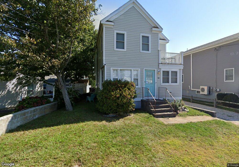
148 Salt Island Rd Westbrook, CT 06498
Estimated Value: $570,000 - $719,000
3
Beds
2
Baths
1,263
Sq Ft
$514/Sq Ft
Est. Value
About This Home
This home is located at 148 Salt Island Rd, Westbrook, CT 06498 and is currently estimated at $649,559, approximately $514 per square foot. 148 Salt Island Rd is a home located in Middlesex County with nearby schools including Daisy Ingraham School, Westbrook Middle School, and Westbrook High School.
Ownership History
Date
Name
Owned For
Owner Type
Purchase Details
Closed on
Nov 18, 2010
Sold by
Digirolamo Jeffrey and Digirolamo Thomas
Bought by
Digirolamo Francis
Current Estimated Value
Purchase Details
Closed on
Apr 15, 2010
Sold by
Digirolamo Frank
Bought by
Digirolamo Thomas and Digirolamo Mark
Create a Home Valuation Report for This Property
The Home Valuation Report is an in-depth analysis detailing your home's value as well as a comparison with similar homes in the area
Home Values in the Area
Average Home Value in this Area
Purchase History
| Date | Buyer | Sale Price | Title Company |
|---|---|---|---|
| Digirolamo Francis | -- | -- | |
| Digirolamo Thomas | -- | -- |
Source: Public Records
Mortgage History
| Date | Status | Borrower | Loan Amount |
|---|---|---|---|
| Previous Owner | Digirolamo Thomas | $23,500 |
Source: Public Records
Tax History Compared to Growth
Tax History
| Year | Tax Paid | Tax Assessment Tax Assessment Total Assessment is a certain percentage of the fair market value that is determined by local assessors to be the total taxable value of land and additions on the property. | Land | Improvement |
|---|---|---|---|---|
| 2025 | $6,721 | $298,690 | $155,060 | $143,630 |
| 2024 | $6,482 | $298,690 | $155,060 | $143,630 |
| 2023 | $6,368 | $298,690 | $155,060 | $143,630 |
| 2022 | $6,201 | $298,690 | $155,060 | $143,630 |
| 2021 | $5,349 | $213,950 | $111,830 | $102,120 |
| 2020 | $5,349 | $213,950 | $111,830 | $102,120 |
| 2019 | $5,278 | $213,950 | $111,830 | $102,120 |
| 2018 | $5,214 | $213,950 | $111,830 | $102,120 |
| 2017 | $5,214 | $213,950 | $111,830 | $102,120 |
| 2016 | $5,082 | $219,640 | $106,860 | $112,780 |
| 2015 | $4,944 | $219,640 | $106,860 | $112,780 |
| 2014 | $4,786 | $219,640 | $106,860 | $112,780 |
Source: Public Records
Map
Nearby Homes
- 166 Fiske Ln
- 29 Salt Island Rd
- 41 Trolley Rd
- 155 Fawn Hill Dr
- 49 Seaside Ave
- 912 Boston Post Rd
- 1110 Old Clinton Rd
- 8 Cook Terrace
- 610 Marina Way Landing Unit 610
- 30 Dowd Rd
- 11a/11b Pond Circle Rd
- 951 Old Clinton Rd Unit 15
- 0 Boston Post Rd Unit 24080344
- 87 McVeagh Rd
- 254 Hidden Cove Rd
- 118 Sandy Point Rd
- 14 Denmore Ln
- 96 Chalker Beach Rd
- 821 Essex Rd
- 1 Clark Ave
- 150 Salt Island Rd
- 7 Parker Ln
- 13 Parker Ln
- 158 Salt Island Rd
- 155 Salt Island Rd
- 149 Salt Island Rd
- 130 Salt Island Rd
- 132 Salt Island Rd
- 141 Salt Island Rd
- 152 Salt Island Rd
- 126 Salt Island Rd
- 161 Salt Island Rd
- 21 Parker Ln
- 16 Parker Ln
- 37 Stokes Ave
- 135 Salt Island Rd
- 164 Salt Island Rd
- 124 Salt Island Rd
- 165 Salt Island Rd
- 122 Salt Island Rd