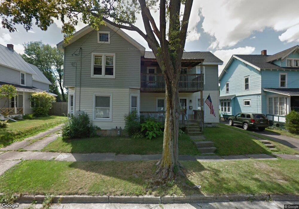
148 Sampson St Jamestown, NY 14701
Estimated Value: $68,000 - $155,165
4
Beds
2
Baths
2,248
Sq Ft
$41/Sq Ft
Est. Value
About This Home
This home is located at 148 Sampson St, Jamestown, NY 14701 and is currently estimated at $93,041, approximately $41 per square foot. 148 Sampson St is a home located in Chautauqua County with nearby schools including Jamestown High School, Catholic Academy of The Holy Family, and Jamestown SDA School.
Ownership History
Date
Name
Owned For
Owner Type
Purchase Details
Closed on
May 17, 2005
Sold by
Sec Of Housing & Urban Dev
Bought by
Vonvolen Robert
Current Estimated Value
Purchase Details
Closed on
Jan 4, 2005
Sold by
Soderlund Jason
Bought by
Sec Of Housing & Urban De
Purchase Details
Closed on
Sep 26, 2000
Sold by
Becker Beverly A
Bought by
Soderlund Jason S
Purchase Details
Closed on
Apr 6, 1999
Purchase Details
Closed on
Sep 15, 1997
Sold by
Becker Beverly A
Bought by
Koterass Joseph W and Koterass Jeannee M
Create a Home Valuation Report for This Property
The Home Valuation Report is an in-depth analysis detailing your home's value as well as a comparison with similar homes in the area
Home Values in the Area
Average Home Value in this Area
Purchase History
| Date | Buyer | Sale Price | Title Company |
|---|---|---|---|
| Vonvolen Robert | $12,787 | Neil Robinson | |
| Sec Of Housing & Urban De | $42,851 | Steven Baum | |
| Soderlund Jason S | $25,000 | John D Vanstrom | |
| -- | $35,066 | -- | |
| Koterass Joseph W | $41,000 | -- |
Source: Public Records
Tax History Compared to Growth
Tax History
| Year | Tax Paid | Tax Assessment Tax Assessment Total Assessment is a certain percentage of the fair market value that is determined by local assessors to be the total taxable value of land and additions on the property. | Land | Improvement |
|---|---|---|---|---|
| 2024 | $1,307 | $25,000 | $5,700 | $19,300 |
| 2023 | $1,304 | $25,000 | $5,700 | $19,300 |
| 2022 | $1,299 | $25,000 | $5,700 | $19,300 |
| 2021 | $1,301 | $25,000 | $5,700 | $19,300 |
| 2020 | $1,299 | $25,000 | $5,700 | $19,300 |
| 2019 | $805 | $25,000 | $5,700 | $19,300 |
| 2018 | $1,291 | $25,000 | $5,700 | $19,300 |
| 2017 | $1,299 | $25,000 | $5,700 | $19,300 |
| 2016 | $1,296 | $25,000 | $5,700 | $19,300 |
| 2015 | -- | $25,000 | $5,700 | $19,300 |
| 2014 | -- | $25,000 | $5,700 | $19,300 |
Source: Public Records
Map
Nearby Homes
- 440 Superior St
- 146 Sampson St
- 194 Hazeltine Ave
- 306 Charles St
- 126 Crown St
- 24 Raymond St
- 105 Charles St
- 43 Sampson St
- 47 Charles St
- 205 Barrett Ave
- 232 Delaware Ave
- 341-343 Forest Ave
- 168 Barrett Ave
- 9 Stearns Ave
- 310 Forest Ave
- 140 Barrett Ave
- 13 Charles St
- 402 Chautauqua Ave
- 125 Superior St
- 35 Arden Pkwy