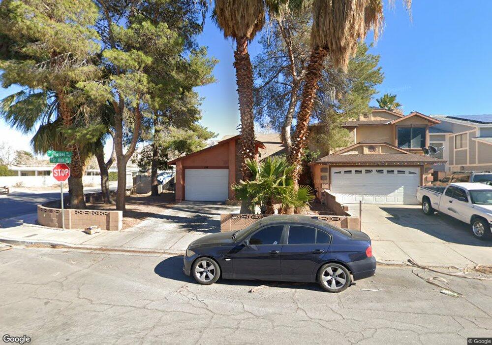
148 Sirnoble St Las Vegas, NV 89110
Estimated Value: $321,193 - $356,000
2
Beds
2
Baths
1,265
Sq Ft
$268/Sq Ft
Est. Value
About This Home
This home is located at 148 Sirnoble St, Las Vegas, NV 89110 and is currently estimated at $339,048, approximately $268 per square foot. 148 Sirnoble St is a home located in Clark County with nearby schools including Richard J. Rundle Elementary School, Charlotte & Jerry Keller Elementary School, and Duane D. Keller Middle School.
Ownership History
Date
Name
Owned For
Owner Type
Purchase Details
Closed on
Mar 27, 2003
Sold by
Carter James S and Bond Carter Sarah I
Bought by
Carter James S and Bond Carter Sarah I
Current Estimated Value
Home Financials for this Owner
Home Financials are based on the most recent Mortgage that was taken out on this home.
Original Mortgage
$84,000
Interest Rate
5.79%
Create a Home Valuation Report for This Property
The Home Valuation Report is an in-depth analysis detailing your home's value as well as a comparison with similar homes in the area
Home Values in the Area
Average Home Value in this Area
Purchase History
| Date | Buyer | Sale Price | Title Company |
|---|---|---|---|
| Carter James S | -- | Nevada Title Company |
Source: Public Records
Mortgage History
| Date | Status | Borrower | Loan Amount |
|---|---|---|---|
| Closed | Carter James S | $84,000 |
Source: Public Records
Tax History Compared to Growth
Tax History
| Year | Tax Paid | Tax Assessment Tax Assessment Total Assessment is a certain percentage of the fair market value that is determined by local assessors to be the total taxable value of land and additions on the property. | Land | Improvement |
|---|---|---|---|---|
| 2025 | $842 | $49,907 | $23,450 | $26,457 |
| 2024 | $780 | $49,907 | $23,450 | $26,457 |
| 2023 | $780 | $51,382 | $25,550 | $25,832 |
| 2022 | $723 | $43,829 | $19,950 | $23,879 |
| 2021 | $670 | $42,296 | $19,250 | $23,046 |
| 2020 | $619 | $40,667 | $17,500 | $23,167 |
| 2019 | $580 | $37,126 | $14,000 | $23,126 |
| 2018 | $553 | $34,592 | $12,250 | $22,342 |
| 2017 | $978 | $33,333 | $10,500 | $22,833 |
| 2016 | $519 | $31,817 | $8,400 | $23,417 |
| 2015 | $517 | $27,322 | $6,300 | $21,022 |
| 2014 | $501 | $22,045 | $3,850 | $18,195 |
Source: Public Records
Map
Nearby Homes
- 147 N Christy Ln
- 280 Sir Phillip St
- 332 Sir Jeffery Cir
- 5564 Orchard Ln Unit 133
- 5330 E Charleston Blvd Unit 2
- 5330 E Charleston Blvd Unit 113
- 360 Sir Richard Dr E
- 153 Sir Thomas Dr
- 5583 Orchard Ln Unit 152
- 5600 Orchard Ln
- 136 Sir George Dr
- 140 Sir David Way
- 0 E Charleston Blvd
- 130 Bel Port Dr Unit 133
- 1200 Pleasant Brook St
- 111 Sir Arthur Dr
- 316 Linn Ln
- 262 Solicito St
- 5353 Hollow Brook Ave
- 522 Wheaties Way
- 144 Sirnoble St
- 140 Sirnoble St
- 149 Parrish Ln
- 145 Parrish Ln
- 136 Sirnoble St
- 141 Parrish Ln
- 132 Sirnoble St
- 147 Sirnoble St
- 137 Parrish Ln
- 5410 Mabel Rd
- 143 Sirnoble St
- 5446 Mabel Rd
- 139 Sirnoble St
- 128 Sirnoble St
- 133 Parrish Ln
- 135 Sirnoble St
- 5398 Mabel Rd
- 124 Sirnoble St
- 131 Sirnoble St
- 129 Parrish Ln