148 Sortwell Rd Westport Island, ME 04578
Estimated Value: $1,456,311 - $1,506,000
1
Bed
2
Baths
3,186
Sq Ft
$465/Sq Ft
Est. Value
About This Home
This home is located at 148 Sortwell Rd, Westport Island, ME 04578 and is currently estimated at $1,481,156, approximately $464 per square foot. 148 Sortwell Rd is a home.
Ownership History
Date
Name
Owned For
Owner Type
Purchase Details
Closed on
Jul 15, 2024
Sold by
Evans Barry and Evans Margaret C
Bought by
Barry Evans Ret and Evans
Current Estimated Value
Purchase Details
Closed on
Dec 18, 2014
Sold by
Cymthia S Castleman Lt and Everett
Bought by
Evans Barry and Evans Margaret C
Home Financials for this Owner
Home Financials are based on the most recent Mortgage that was taken out on this home.
Original Mortgage
$500,000
Interest Rate
3%
Mortgage Type
Adjustable Rate Mortgage/ARM
Create a Home Valuation Report for This Property
The Home Valuation Report is an in-depth analysis detailing your home's value as well as a comparison with similar homes in the area
Home Values in the Area
Average Home Value in this Area
Purchase History
| Date | Buyer | Sale Price | Title Company |
|---|---|---|---|
| Barry Evans Ret | -- | None Available | |
| Barry Evans Ret | -- | None Available | |
| Evans Barry | -- | -- | |
| Evans Barry | -- | -- |
Source: Public Records
Mortgage History
| Date | Status | Borrower | Loan Amount |
|---|---|---|---|
| Previous Owner | Evans Barry | $500,000 |
Source: Public Records
Tax History Compared to Growth
Tax History
| Year | Tax Paid | Tax Assessment Tax Assessment Total Assessment is a certain percentage of the fair market value that is determined by local assessors to be the total taxable value of land and additions on the property. | Land | Improvement |
|---|---|---|---|---|
| 2025 | $10,828 | $1,273,893 | $941,749 | $332,144 |
| 2024 | $8,570 | $1,158,084 | $856,135 | $301,949 |
| 2023 | $7,142 | $1,090,332 | $788,383 | $301,949 |
| 2022 | $7,418 | $893,715 | $646,216 | $247,499 |
| 2021 | $7,060 | $893,715 | $646,216 | $247,499 |
| 2020 | $7,239 | $893,715 | $646,216 | $247,499 |
| 2019 | $6,676 | $893,715 | $646,216 | $247,499 |
| 2018 | $5,899 | $893,715 | $646,216 | $247,499 |
| 2016 | $5,655 | $785,453 | $646,216 | $139,237 |
| 2014 | $6,814 | $907,373 | $0 | $0 |
| 2013 | $7,032 | $907,373 | $805,905 | $101,468 |
Source: Public Records
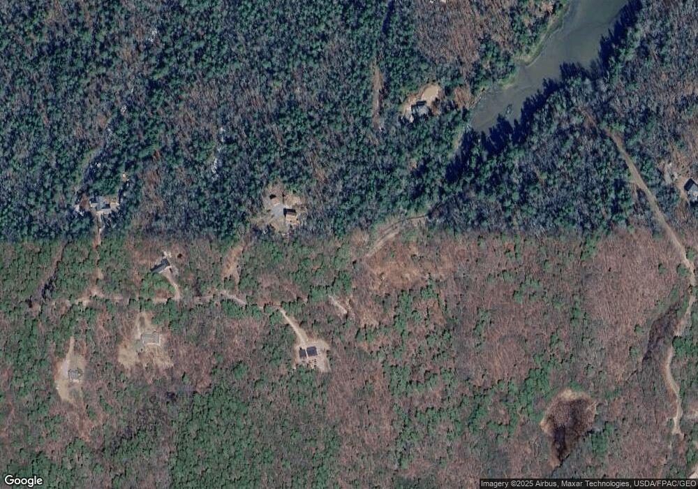
Map
Nearby Homes
- M4 L12.30B McCarty Cove Rd
- 0 Maine 144
- 19 Riverside Ave
- 44 Stone Point Ln
- 23 Sunny Acres Ln
- 576 Back River Rd
- 13 Porcupine Ln
- 712 Back River Rd
- 15 Lewis Dr
- 30 Taylor Rd
- 91 Tree Farm Dr
- 18 High Head Rd
- 44-4 Windrush Ln
- 27 Doggett Rd
- 17 Lester Rd
- 96 Forest Haven Rd
- 124 Main Rd
- 32 Murray Hill Rd
- 693 Wiscasset Rd
- 670 Wiscasset Rd
- 0 Main Rd
- 107 Cove Side Way
- 109 Cove Side Way
- 18 Peter's Cove
- 1 Hopkins& McCarty Cove Rd
- 131 Cove Side Way
- 18 Peters Cove Ln
- 22 McCarty Cove Rd
- 0 Peter's Cove Ln Unit 588841
- 0 Peter's Cove Ln Unit 1132347
- 139 Cove Side Way
- 34 Peters Cove Ln
- 78 Cove Side Way
- 77 Cove Side Way
- 11 Peters Cove Ln
- 11 Peters Cove Ln
- 0 Sortwell Rd
- 14.14B Cove Side Way
- Lot 14.2A Peters Cove
- 40 McCarty Cove Rd