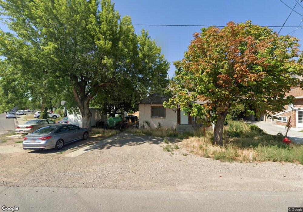
148 W 700 S Springville, UT 84663
Estimated Value: $328,000 - $402,000
3
Beds
1
Bath
754
Sq Ft
$497/Sq Ft
Est. Value
About This Home
This home is located at 148 W 700 S, Springville, UT 84663 and is currently estimated at $374,904, approximately $497 per square foot. 148 W 700 S is a home located in Utah County with nearby schools including Meadow Brook Elementary School, Springville Junior High School, and Springville High School.
Ownership History
Date
Name
Owned For
Owner Type
Purchase Details
Closed on
Nov 22, 2023
Sold by
Peterson David Sheryl
Bought by
David S Peterson Trust and Peterson
Current Estimated Value
Purchase Details
Closed on
Nov 15, 2022
Sold by
Ws Peterson Family Living Trust
Bought by
Peterson David Sheryl
Purchase Details
Closed on
Dec 10, 2003
Sold by
Peterson Wallace S and Peterson Kathryn D
Bought by
Peterson Wallace S and Peterson Kathryn D
Create a Home Valuation Report for This Property
The Home Valuation Report is an in-depth analysis detailing your home's value as well as a comparison with similar homes in the area
Home Values in the Area
Average Home Value in this Area
Purchase History
| Date | Buyer | Sale Price | Title Company |
|---|---|---|---|
| David S Peterson Trust | -- | None Listed On Document | |
| Peterson David Sheryl | -- | -- | |
| Peterson Wallace S | -- | -- |
Source: Public Records
Tax History Compared to Growth
Tax History
| Year | Tax Paid | Tax Assessment Tax Assessment Total Assessment is a certain percentage of the fair market value that is determined by local assessors to be the total taxable value of land and additions on the property. | Land | Improvement |
|---|---|---|---|---|
| 2025 | $1,561 | $323,000 | $149,200 | $173,800 |
| 2024 | $1,561 | $159,885 | $0 | $0 |
| 2023 | $1,522 | $156,035 | $0 | $0 |
| 2022 | $1,736 | $174,845 | $0 | $0 |
| 2021 | $1,560 | $244,500 | $111,500 | $133,000 |
| 2020 | $1,376 | $209,100 | $82,600 | $126,500 |
| 2019 | $1,258 | $194,600 | $74,700 | $119,900 |
| 2018 | $1,186 | $175,100 | $70,800 | $104,300 |
| 2017 | $1,077 | $84,480 | $0 | $0 |
| 2016 | $937 | $72,050 | $0 | $0 |
| 2015 | $906 | $71,170 | $0 | $0 |
Source: Public Records
Map
Nearby Homes
- 675 S 100 W Unit A305
- 618 S 100 W Unit 302
- 670 S Main St Unit 1-4
- 67 W 600 S Unit B204
- 64 W 600 S Unit C205
- 864 S State Rd Unit 167
- 866 S State Rd Unit 168
- 872 S State Rd Unit 169
- 550 S 400 W
- 1768 W 300 S Unit D
- 678 S 300 E
- 337 E 600 S
- 511 S 300 E Unit 2
- 293 S 450 W Unit B
- 445 Swenson Ave
- 629 E 800 St S
- 626 E 800 St S
- 579 E 800 St S
- 607 E 800 St S
- 532 W 300 S Unit B
- 118 W 700 S
- 691 S 170 W
- 671 S 170 W
- 649 S 170 W
- 656 S 170 W
- 78 W 700 S
- 91 W 700 S
- 675 S 100 W Unit A208
- 675 S 100 W Unit A206
- 675 S 100 W Unit A209
- 675 S 100 W Unit A210
- 675 S 100 W Unit 110
- 675 S 100 W
- 675 S 100 W Unit A309
- 618 S 100 W E208
- 618 S 100 W Unit D205
- 618 S 100 W Unit 101
- 618 S 100 W Unit D204
- 618 S 100 W
- 618 S 100 W Unit D202