148 Washington Ave Hampshire, IL 60140
Estimated Value: $253,000 - $344,000
3
Beds
1
Bath
1,388
Sq Ft
$208/Sq Ft
Est. Value
About This Home
This home is located at 148 Washington Ave, Hampshire, IL 60140 and is currently estimated at $288,192, approximately $207 per square foot. 148 Washington Ave is a home located in Kane County with nearby schools including Hampshire Elementary School, Hampshire Middle School, and Hampshire High School.
Ownership History
Date
Name
Owned For
Owner Type
Purchase Details
Closed on
Aug 12, 2021
Sold by
Dumculin Douglas G
Bought by
Zopfi Jeffrey and Zopfi Kelli
Current Estimated Value
Home Financials for this Owner
Home Financials are based on the most recent Mortgage that was taken out on this home.
Original Mortgage
$100,000
Interest Rate
2.9%
Mortgage Type
Purchase Money Mortgage
Purchase Details
Closed on
Jul 14, 1995
Sold by
Fels Joseph F
Bought by
Dumoulin Douglas G
Create a Home Valuation Report for This Property
The Home Valuation Report is an in-depth analysis detailing your home's value as well as a comparison with similar homes in the area
Home Values in the Area
Average Home Value in this Area
Purchase History
| Date | Buyer | Sale Price | Title Company |
|---|---|---|---|
| Zopfi Jeffrey | $112,000 | None Available | |
| Dumoulin Douglas G | $109,000 | Chicago Title Insurance Co |
Source: Public Records
Mortgage History
| Date | Status | Borrower | Loan Amount |
|---|---|---|---|
| Closed | Zopfi Jeffrey | $100,000 |
Source: Public Records
Tax History Compared to Growth
Tax History
| Year | Tax Paid | Tax Assessment Tax Assessment Total Assessment is a certain percentage of the fair market value that is determined by local assessors to be the total taxable value of land and additions on the property. | Land | Improvement |
|---|---|---|---|---|
| 2024 | $5,285 | $72,200 | $23,074 | $49,126 |
| 2023 | $5,079 | $64,946 | $20,756 | $44,190 |
| 2022 | $4,638 | $57,849 | $19,075 | $38,774 |
| 2021 | $4,421 | $54,570 | $17,994 | $36,576 |
| 2020 | $4,357 | $53,078 | $17,502 | $35,576 |
| 2019 | $4,305 | $51,343 | $16,930 | $34,413 |
| 2018 | $4,224 | $48,510 | $15,996 | $32,514 |
| 2017 | $4,226 | $47,877 | $15,363 | $32,514 |
| 2016 | $4,170 | $45,006 | $14,442 | $30,564 |
| 2015 | -- | $41,831 | $13,423 | $28,408 |
| 2014 | -- | $40,451 | $12,980 | $27,471 |
| 2013 | -- | $43,038 | $13,810 | $29,228 |
Source: Public Records
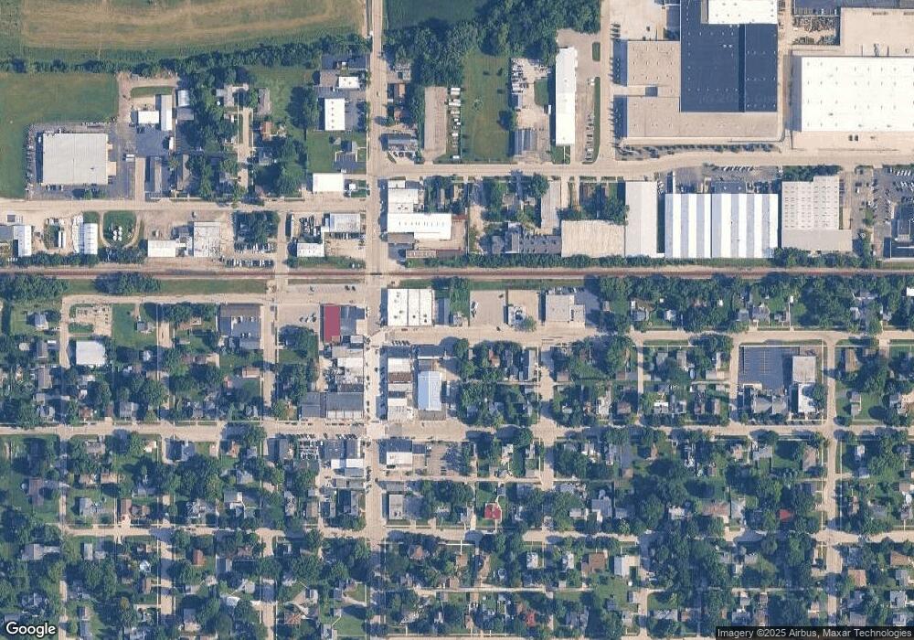
Map
Nearby Homes
- 862 Briar Glen Ct
- 820 Briar Glen Ct
- 804 Briar Glen Ct
- 125 Mill Ave
- 190 Grove Ave
- 263 E Jackson Ave
- Lot 0 N State St
- 421 Klick St
- 704 S State St
- 895 S State St
- 286 Wild Prairie Pointe
- 284 Wild Prairie Pointe
- 283 Wild Prairie Pointe
- 282 Wild Prairie Pointe
- 318 Old Mill Ln
- 1655 Windsor Rd
- 602 Woodside Terrace
- 531 W Meadowdale Cir
- LOT 37 W Oak Knoll Dr
- 666 Savanna Dr
- 138 Washington Ave
- 122 Washington Ave
- 120 Washington Ave
- 173 Washington Ave
- Lot 1 Maple Ave
- 129 S State St
- 185 Washington Ave
- 199 S Maple Place
- 145 S State St
- 141 S State St
- S State St
- S State St
- 1115 Briar Glen Ct
- 1105 Briar Glen Ct
- 1109 Briar Glen Ct
- 1113 Briar Glen Ct
- 1107 Briar Glen Ct
- 1135 Briar Glen Ct
- 1123 Briar Glen Ct
- 1125 Briar Glen Ct