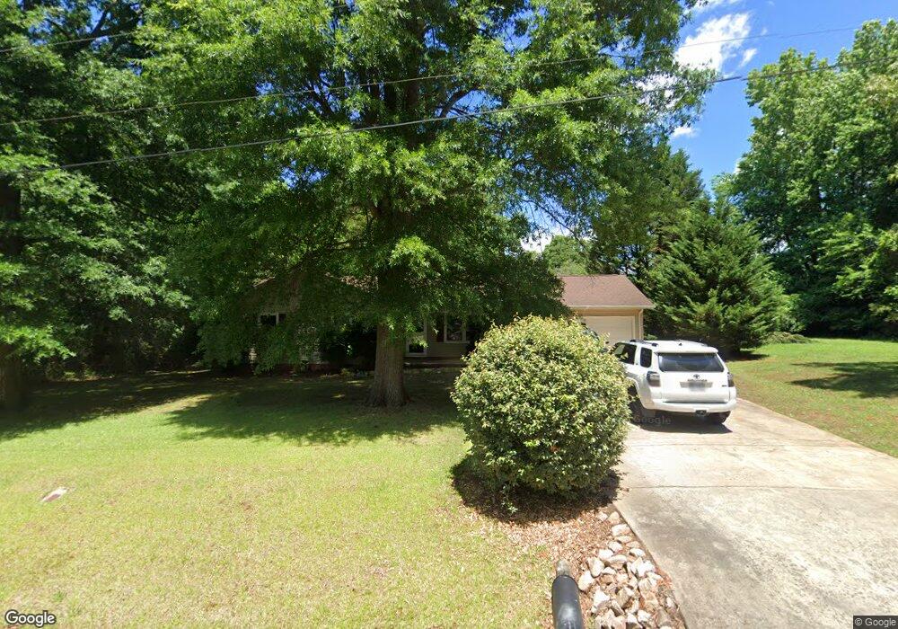
148 Whitetail Rd Statesville, NC 28625
Estimated Value: $266,000 - $287,000
3
Beds
2
Baths
2,090
Sq Ft
$132/Sq Ft
Est. Value
About This Home
This home is located at 148 Whitetail Rd, Statesville, NC 28625 and is currently estimated at $276,072, approximately $132 per square foot. 148 Whitetail Rd is a home located in Iredell County with nearby schools including Scotts Elementary School, Third Creek Middle School, and Statesville High School.
Ownership History
Date
Name
Owned For
Owner Type
Purchase Details
Closed on
Jul 2, 2004
Sold by
Quesenberry Robert V and Quesenberry Christy R
Bought by
Mullins Harold E and Mullins Melanie L
Current Estimated Value
Home Financials for this Owner
Home Financials are based on the most recent Mortgage that was taken out on this home.
Original Mortgage
$112,828
Outstanding Balance
$56,478
Interest Rate
6.25%
Mortgage Type
VA
Estimated Equity
$219,594
Purchase Details
Closed on
May 1, 1994
Purchase Details
Closed on
Apr 1, 1992
Purchase Details
Closed on
Dec 1, 1986
Create a Home Valuation Report for This Property
The Home Valuation Report is an in-depth analysis detailing your home's value as well as a comparison with similar homes in the area
Home Values in the Area
Average Home Value in this Area
Purchase History
| Date | Buyer | Sale Price | Title Company |
|---|---|---|---|
| Mullins Harold E | $110,500 | -- | |
| -- | $80,000 | -- | |
| -- | $74,000 | -- | |
| -- | $4,000 | -- |
Source: Public Records
Mortgage History
| Date | Status | Borrower | Loan Amount |
|---|---|---|---|
| Open | Mullins Harold E | $112,828 |
Source: Public Records
Tax History Compared to Growth
Tax History
| Year | Tax Paid | Tax Assessment Tax Assessment Total Assessment is a certain percentage of the fair market value that is determined by local assessors to be the total taxable value of land and additions on the property. | Land | Improvement |
|---|---|---|---|---|
| 2024 | $1,084 | $173,570 | $22,000 | $151,570 |
| 2023 | $1,084 | $173,570 | $22,000 | $151,570 |
| 2022 | $803 | $118,470 | $15,000 | $103,470 |
| 2021 | $799 | $118,470 | $15,000 | $103,470 |
| 2020 | $799 | $118,470 | $15,000 | $103,470 |
| 2019 | $788 | $118,470 | $15,000 | $103,470 |
| 2018 | $692 | $107,040 | $16,000 | $91,040 |
| 2017 | $692 | $107,040 | $16,000 | $91,040 |
| 2016 | $692 | $107,040 | $16,000 | $91,040 |
| 2015 | $692 | $107,040 | $16,000 | $91,040 |
| 2014 | $639 | $105,780 | $16,000 | $89,780 |
Source: Public Records
Map
Nearby Homes
- 112 Bridgeland Trail Unit Lot 7
- 137 Fairdale Rd
- 136 Whitetail Rd
- 122 Whitetail Rd
- 131 Fairdale Rd
- 124 Bridgeland Trail Unit Lot 5
- 130 Bridgeland Trail Unit Lot 4
- 130 Bridgeland Trail
- 130 Bridgeland Trail Unit L4
- 139 Whitetail Rd
- 134 Bridgeland Trail Unit Lot 3
- 134 Bridgeland Trail
- 134 Bridgeland Trail Unit L3
- 127 Fairdale Rd
- 138 Bridgeland Trail Unit Lot 2
- 142 Bridgeland Trail Unit Lot 1
- 126 Whitetail Rd
- 134 Fairdale Rd
- 128 Fairdale Rd
- 115 Fairdale Rd