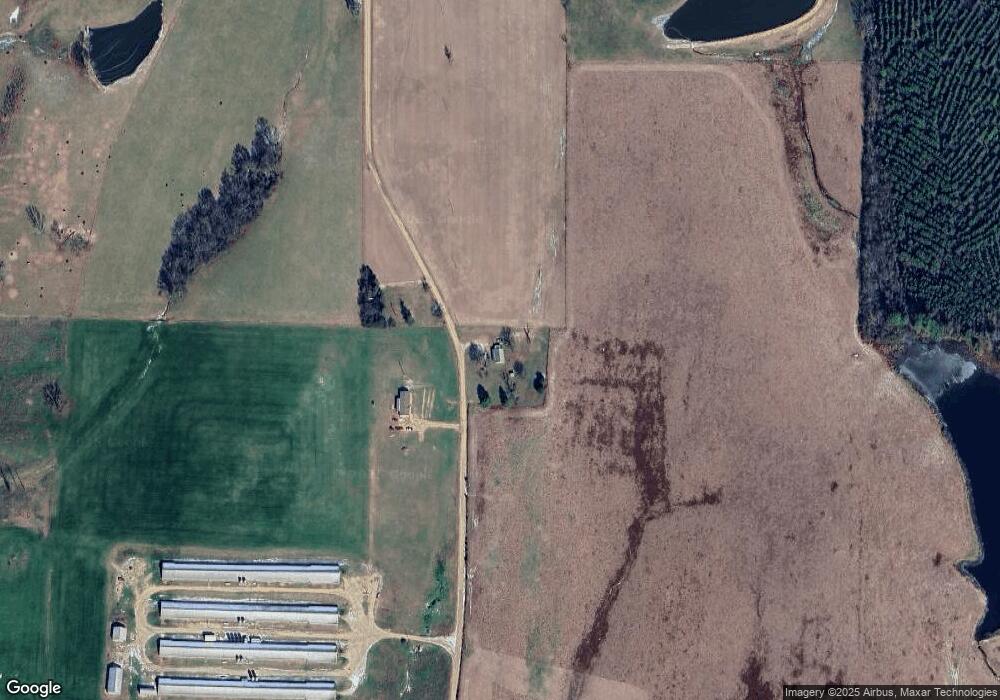
148 Womack Loop Murfreesboro, AR 71958
Estimated Value: $89,824 - $332,000
--
Bed
1
Bath
1,107
Sq Ft
$173/Sq Ft
Est. Value
About This Home
This home is located at 148 Womack Loop, Murfreesboro, AR 71958 and is currently estimated at $191,706, approximately $173 per square foot. 148 Womack Loop is a home located in Pike County with nearby schools including Murfreesboro Elementary School and Murfreesboro High School.
Ownership History
Date
Name
Owned For
Owner Type
Purchase Details
Closed on
Mar 11, 2013
Sold by
Link Tina Annette
Bought by
Smith Timothy James
Current Estimated Value
Purchase Details
Closed on
Jul 22, 2006
Bought by
Link
Purchase Details
Closed on
Jul 7, 2006
Bought by
Link
Purchase Details
Closed on
Jun 30, 2006
Bought by
Lingo
Purchase Details
Closed on
Jul 18, 1997
Bought by
Link
Purchase Details
Closed on
May 29, 1997
Bought by
Womack
Create a Home Valuation Report for This Property
The Home Valuation Report is an in-depth analysis detailing your home's value as well as a comparison with similar homes in the area
Home Values in the Area
Average Home Value in this Area
Purchase History
| Date | Buyer | Sale Price | Title Company |
|---|---|---|---|
| Smith Timothy James | -- | Steel And Gutner, Attorneys | |
| Link | -- | -- | |
| Link | -- | -- | |
| Lingo | -- | -- | |
| Link | -- | -- | |
| Womack | -- | -- |
Source: Public Records
Tax History Compared to Growth
Tax History
| Year | Tax Paid | Tax Assessment Tax Assessment Total Assessment is a certain percentage of the fair market value that is determined by local assessors to be the total taxable value of land and additions on the property. | Land | Improvement |
|---|---|---|---|---|
| 2025 | $35 | $12,410 | $1,500 | $10,910 |
| 2024 | $535 | $12,410 | $1,500 | $10,910 |
| 2023 | $87 | $12,410 | $1,500 | $10,910 |
| 2022 | $114 | $12,410 | $1,500 | $10,910 |
| 2021 | $93 | $10,560 | $1,340 | $9,220 |
| 2020 | $93 | $10,560 | $1,340 | $9,220 |
| 2019 | $93 | $10,560 | $1,340 | $9,220 |
| 2018 | $118 | $10,560 | $1,340 | $9,220 |
| 2017 | $449 | $10,560 | $1,340 | $9,220 |
| 2015 | -- | $9,440 | $1,340 | $8,100 |
| 2014 | -- | $9,440 | $1,340 | $8,100 |
| 2013 | -- | $9,440 | $1,340 | $8,100 |
Source: Public Records
Map
Nearby Homes
- 501 Arkansas 26
- 863 Arkansas 27
- 1251 Highland Ave
- 49 Arkansas 27
- 84 N Old Factory Site Rd
- 1860 N Hwy 19
- 19 Blue Dunn Dr Unit 19
- 20 Blue Dunn Dr Unit 20
- 409 E 13th St
- 1156 Arkansas 26
- 1456 N Washington Ave
- 114 Morgan St
- TBD Beavert Ln
- 110 Terrell St
- 228 Old Factory Site Rd Rd
- 228 Old Factory Site Rd
- TBD Shawmut Rd
- TBD Hitt Rd
- 0 Shawmut Rd
- 904 3rd Ave
- 92 Womack Loop
- 92 Womack Loop
- 192 Highway 379
- 1586 Pike City Rd
- 1512 Pike City Rd
- 1603 Pike City Rd
- 1585 Pike City Rd
- 155 Highway 379
- 1511 Pike City Rd
- 000 E Macedonia Rd
- 11 7s 26w Se Pt Hill
- 000 Hwy 19
- 000 Blue Dun Dr
- 000 Caddis Ct
- 000 Tellico Trail
- 10 Acres Glazypeau Rd
- 0 Glazy Peau Rd Unit 17010428
- 999 Wild Hog Rd
- TBD Funderburk Rd
- 106.73 acres Glazypeau Rd
