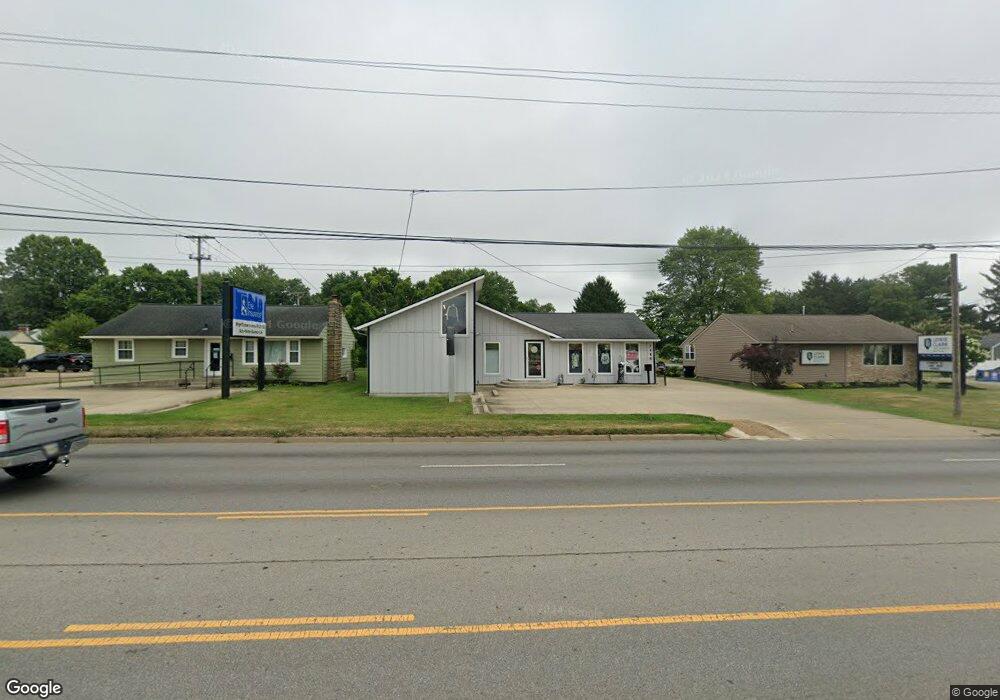
1480 N 21st St Newark, OH 43055
3
Beds
1
Bath
1,624
Sq Ft
0.3
Acres
About This Home
This home is located at 1480 N 21st St, Newark, OH 43055. 1480 N 21st St is a home located in Licking County with nearby schools including Hillview Elementary School, Liberty Middle School, and Newark High School.
Ownership History
Date
Name
Owned For
Owner Type
Purchase Details
Closed on
May 8, 2012
Sold by
First Federal Savings And Loan Assn
Bought by
Tre Bri Llc
Purchase Details
Closed on
May 9, 2011
Sold by
Mcnichols Kenney W and Mcnichols Connie S
Bought by
First Federal Savings And Loan Associati
Purchase Details
Closed on
Oct 12, 2005
Sold by
Howard William D
Bought by
Mcnichols Kenney W
Purchase Details
Closed on
Aug 31, 2004
Sold by
Meredith Scott D and Meredith Allison M
Bought by
Howard William D and Mcnichols Kenney W
Home Financials for this Owner
Home Financials are based on the most recent Mortgage that was taken out on this home.
Original Mortgage
$117,000
Interest Rate
6.1%
Mortgage Type
Commercial
Purchase Details
Closed on
Aug 10, 1998
Sold by
Ford Marjorie C
Bought by
Meredith Scott D and Meredith Allison M
Home Financials for this Owner
Home Financials are based on the most recent Mortgage that was taken out on this home.
Original Mortgage
$60,000
Interest Rate
7.05%
Mortgage Type
Commercial
Create a Home Valuation Report for This Property
The Home Valuation Report is an in-depth analysis detailing your home's value as well as a comparison with similar homes in the area
Home Values in the Area
Average Home Value in this Area
Purchase History
| Date | Buyer | Sale Price | Title Company |
|---|---|---|---|
| Tre Bri Llc | $65,000 | None Available | |
| First Federal Savings And Loan Associati | -- | Attorney | |
| Mcnichols Kenney W | -- | Fideli | |
| Howard William D | $130,000 | -- | |
| Meredith Scott D | $60,000 | -- |
Source: Public Records
Mortgage History
| Date | Status | Borrower | Loan Amount |
|---|---|---|---|
| Previous Owner | Howard William D | $117,000 | |
| Previous Owner | Meredith Scott D | $60,000 |
Source: Public Records
Tax History Compared to Growth
Tax History
| Year | Tax Paid | Tax Assessment Tax Assessment Total Assessment is a certain percentage of the fair market value that is determined by local assessors to be the total taxable value of land and additions on the property. | Land | Improvement |
|---|---|---|---|---|
| 2024 | $3,344 | $73,680 | $32,200 | $41,480 |
| 2023 | $4,511 | $73,680 | $32,200 | $41,480 |
| 2022 | $2,942 | $55,020 | $28,140 | $26,880 |
| 2021 | $3,082 | $55,020 | $28,140 | $26,880 |
| 2020 | $3,132 | $55,020 | $28,140 | $26,880 |
| 2019 | $3,140 | $55,020 | $28,140 | $26,880 |
| 2018 | $3,149 | $0 | $0 | $0 |
| 2017 | $3,553 | $0 | $0 | $0 |
| 2016 | $3,229 | $0 | $0 | $0 |
| 2015 | $1,280 | $0 | $0 | $0 |
| 2014 | $2,932 | $0 | $0 | $0 |
| 2013 | $2,460 | $0 | $0 | $0 |
Source: Public Records
Map
Nearby Homes
- 267 Goosepond Rd Unit A
- 261 Goosepond Rd Unit D
- 259 Goosepond Rd Unit C
- 1495 Kenarbre Dr
- 336 Myrtle Ave
- 139 Aqueduct Ave
- 106 Santa Anita Ave Unit 21A
- 47 Northpointe Ln Unit 47
- 11 Waterworks Rd
- 105 Pimlico Ave
- 1518 Constitution Ct
- 1738 Scioto Way
- 988 Mount Vernon Rd
- 1345 Sherwood Downs Rd W
- 505 Courtney Dr
- 1684 Churchill Downs Rd
- 1644 Mt Vernon Rd
- 440 Reverie Place
- 596 Velma Ave
- 370 Meadowbrook Dr
- 1486 N 21st St
- 1474 N 21st St
- 322 van Tassell Ave
- 1550 N 21st St
- 320 van Tassell Ave
- 333 Gladys Ave
- 1551 N 21st St
- 333 van Tassell Ave
- 316 van Tassell Ave
- 1450 N 21st St
- 325 Gladys Ave
- 1552 N 21st St
- 451 van Tassell Ave
- 1553 N 21st St
- 327 van Tassell Ave
- 321 van Tassell Ave
- 315 Gladys Ave
- 206 Goosepond Rd
- 310 van Tassell Ave
- 315 van Tassell Ave